
Netherlands
Description

Is hiking possible in the Netherlands? After all, the country is flat as a pancake!
The answer is: Yes. In fact there are over 80 long distance hiking trails crisscrossing the country. The most important are labeled LAW, abbreviation for Lange Afstand Wandelpad (Dutch for Long Distance Hiking Trail). Walking them is a most enjoyable way of exploring Dutch countryside. Meadows grazing cows, sheep and horses, forests, sand dunes and wetlands, and many often centuries old towns along the way. Apart from the LAW's (red-white markings) there are (often) circular regional trails, the SP's (red-yellow markings).
The LAW's and SP's are maintained by Stichting Wandelnet, often in cooperation with the NIVON / Friends of Nature. But there are more organisations marking paths: two sport hiking organisations, the KNBLO (red-blue markings) and the NWB (orange-blue markings). Often, topoguides are issued of these paths. Lastly we must mention the provincial nature conservancy organisations, who set out interesting itineraries for nature lovers.
Recomended LAW's:
- Zuiderzeepad, 400 km, Hollands Golden Age on display.
- Trekvogelpad, 380 km, From West to East, varied trail, gives a good impression of the Netherlands as a whole.
- Maarten van Rossumpad, 308 km, also very varied.
- Wad- en Wierdenpad, 123 km, dykes, polders and vast views in the quiet north east of the country.
- Pieterpad, 492 km, maybe not the most attractive, but by far the most popular trail of the Netherlands.
Best hiking in the Netherlands is in the busy west. The Dutch Green Lung is the big empty space between the main cities The Hague, Amsterdam, Rotterdam and Utrecht. This space, barely known by the Dutch themselves (they rush along in cars), consists of polders, ingenuous waterways, dykes, lakes, and very old villages and farmsteads. The polder landscape can be found in the northern provinces too, or along the river delta. Some patches are very beautiful and you will experience real solitude, others can be boring.
All trails are waymarked, but not always very well. Luckily, there are excellent Dutch guidebooks, with an English section and with maps that show you the correct way. Several LAW's coincide with the European Long Distance Trails E2, E8, E9 and E11.
Enjoying the Netherlands is enjoying the odd encounter with people, villages, buildings, architecture, things happening, and the neat houses and gardens showing off one's high morale. There is also some remoteness in the North and North East. Dutch trails have no difficulties, except the occasional crossing of a busy road or sharing the path with horse-carts and bikers. Keep in mind you're walking on paved roads most of the time, and alternatively grassy, often wet dykes. Therefore, light waterproof shoes are best. Along most routes you will find camping sites, B&B's, shops and public transport in almost every village.
Map


Trails
- Achterhoekpad
- Airbornepad Market GardenGPX
- AlmerepadGPX
- Bevrijdingspad
- Brabants GrensdijkjespadGPX
- Brabants VennenpadGPX
- Brabantse WalGPX
- DeltapadGPX
- Dordtse Waardroute
- Drenthelaarspad
- DrenthepadGPX
- Duin- en PolderpadGPX
- Duinweg Rondwandeling
- E11GPX
- E2GPX
- E8GPX
- E9GPX
- Elfbekenpad
- Elfbergenpad
- Elfwegenpad
- Flevopad
- Floris V-padGPX
- Friese KustpadGPX
- Friese WoudenpadGPX
- Friese Woudweg
- Geert Grootepad
- GR12 - Amsterdam - ParisGPX
- GR122 - ScheldelandGPX
- GR5GPX
- GR561 - Kempen-MaaspadGPX
- GR565 - Renier SniederspadGPX
- Graaf van Hornepad
- GraafschapspadGPX
- GrebbeliniepadGPX
- GrenslandpadGPX
- Groene HartpadGPX
- Groene WisselGPX
- Groot-FrieslandpadGPX
- Grote RivierenpadGPX
- Handelsweg
- HanzestedenpadGPX
- Heerlijkheidspad
- Hertog HendrikpadGPX
- HertogenpadGPX
- Hollands KustpadGPX
- Hunze en Fivelpad
- Hunzepad
- IJsselweg
- JabikspaadGPX
- Jac. Gazenbeekweg
- JacobspadGPX
- Jacobspad LimburgGPX
- Jacobsweg Amstelredam
- Jacobsweg Amsvorde
- Jacobsweg Audenzeel
- Jacobsweg Die Haghe
- Jacobsweg Nieumeghen
- Jacobsweg Thuredrecht
- Jagerspad
- KempenGPX
- Kempen-BroekGPX
- KlompenpadenGPX
- KloosterpadGPX
- Koninklijke WegGPX
- KrijtlandpadGPX
- Kuierpaad Fryslân
- LingepadGPX
- Loop van de Drentsche Aa
- Loop van de Reest
- Loop van het Oude Diep
- Maarten van RossumpadGPX
- Maas- en PeelliniepadGPX
- Maas-NiederrheinpadGPX
- MaasduinenGPX
- MarskramerpadGPX
- Napoleonspad
- Nederlands KustpadGPX
- NoaberpadGPX
- Noord-HollandpadGPX
- North Sea TrailGPX
- NS WandeltochtenGPX
- OeverloperpadGPX
- Omringdijk WandelrouteGPX
- Omringdijkpad
- OosterscheldepadGPX
- Oude IJssel-Rijnpad
- Overijssels HavezatenpadGPX
- Peellandpad
- PelgrimspadGPX
- PieterpadGPX
- PionierspadGPX
- Reggepad & Dinkelpad
- ReynaertlandGPX
- Rijndeltapad
- Romeinse LimespadGPX
- Rondom Berg en Bosch
- Rondom de DomGPX
- Rondom de Groene Bedstee
- Rondom de Sint JanGPX
- Sallandspad
- Santiago de Compostela Pilgrims WayGPX
- ScholtenpadGPX
- Stelling van AmsterdamGPX
- Stichtse Dorpenpad
- Streekpad NijmegenGPX
- TexelpadGPX
- Tielerwaard Wandelroute
- TrekvogelpadGPX
- TwentepadGPX
- UilenspiegelpadGPX
- UtrechtpadGPX
- Van Wad tot IJ
- VechtdalpadGPX
- Veluwe ZwerfpadGPX
- Veluweweg
- Via BrabanticaGPX
- Via MonasticaGPX
- VisserpadGPX
- Wad- en WierdenpadGPX
- Walcherenroute
- WaterliniepadGPX
- Watersnoodpad
- WesterborkpadGPX
- Willebrordus Wandelpad
- WillibrorduswandelpadGPX
- Zuid-Hollandse Polderroute
- Zuid-Limburg Wandelroute
- ZuiderzeepadGPX
Regions
States


Links
Facts
Reports
Guides and maps
Lodging
Organisations
Tour operators
GPS
Other
Books

Netherlands
2012
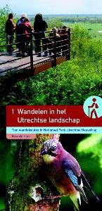
- Wandelgids Wandelen in het Utrechtse landschap | Buijten & Schipperheijn
- Tien wandelingen in een bijzonder stuwwallengebied: de Utrechtse Heuvelrug. De natuurjournalist Kees de Heer brengt je op de mooiste plekken. Met kennis van zaken en veel enthousiasme wijst hij op bijzondere elementen in het landschap: bodemopbouw, reliëfverschillen de ontginningsgeschiedenis, oude patronen, tuinstijlen en andere... Read more
Netherlands
2023
Netherlands
2018
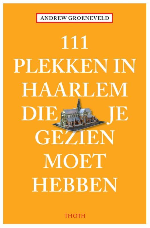
- Reisgids 111 plekken in Haarlem die je gezien moet hebben | Thoth
- Achter het rimpelloze vernis van de brave museumstad verbergt Haarlem een compleet ander gezicht. Dat van een levendige stad vol verrassingen. Ontmoet exotische schepselen in de kleinste dierentuin van Nederland. Ga naar een afgelegen café waar de koeien het eten van je bord kijken. Struin door wilde bloementuinen of ontdek een onzichtbare... Read more
Netherlands
2014
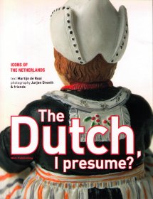
- Reisgids The Dutch, I presume? | Dutch publishing
- Engelstalig, op buitenlanders gericht boek, met informatie in woord en beeld over Nederland, de Nederlandse cultuur en de Nederlanders. The Dutch I presume is a beautifully designed giftbook about Dutch culture."Do I need flippers when I visit the Netherlands?" Of course you don’t: dykes keep the water out, and it doesn’t rain 366 days a year.... Read more
Netherlands
2009
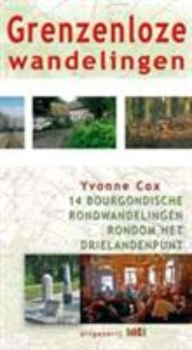
- Grenzeloze wandelingen
- Het gebied rondom Vaals is wereldberoemd in Nederland. Vanwege het Drielandenpunt, vanwege de hoogste berg van Nederland en vanwege het voor Nederland unieke landschap. Heerlijke vergezichten, uitgestrekte, beboste heuvels, uitstekende kerktorens en de gemoedelijke aard van zijn bewoners. Dat alles in combinatie met de Bourgondische manier van... Read more
- Also available from:
- Bol.com, Belgium
Belgium
2009
- Grenzeloze wandelingen
- Het gebied rondom Vaals is wereldberoemd in Nederland. Vanwege het Drielandenpunt, vanwege de hoogste berg van Nederland en vanwege het voor Nederland unieke landschap. Heerlijke vergezichten, uitgestrekte, beboste heuvels, uitstekende kerktorens en de gemoedelijke aard van zijn bewoners. Dat alles in combinatie met de Bourgondische manier van... Read more
Netherlands
2019
Netherlands
2011
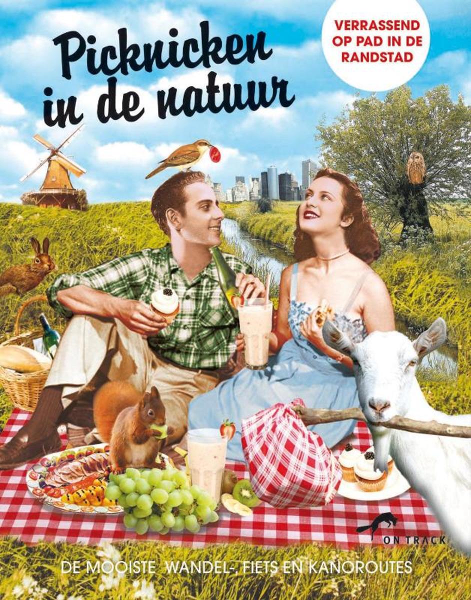
- Picknicken in de natuur
- Een dagje de natuur in wordt nog leuker met een heerlijke picknick in het vooruitzicht. Met de veelzijdige wandel-, fiets- en kanoroutes in dit boek laat je de stadse drukte achter je om neer te strijken op de mooiste picknickplekken in het bos, langs de waterkant of met een prachtig uitzicht over zee. Van een zilte sushipicknick op het strand... Read more
- Also available from:
- Bol.com, Belgium
Belgium
2011
- Picknicken in de natuur
- Een dagje de natuur in wordt nog leuker met een heerlijke picknick in het vooruitzicht. Met de veelzijdige wandel-, fiets- en kanoroutes in dit boek laat je de stadse drukte achter je om neer te strijken op de mooiste picknickplekken in het bos, langs de waterkant of met een prachtig uitzicht over zee. Van een zilte sushipicknick op het strand... Read more
Netherlands
2015
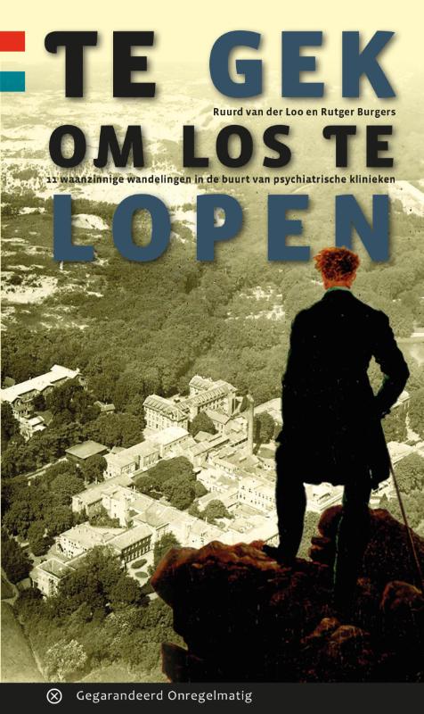
- Wandelgids Te gek om los te lopen | Gegarandeerd Onregelmatig
- In vroeger tijden werd de psychiatrie verstopt in afgelegen gebieden van Nederland om de gekte te verbergen en de maatschappij te beschermen. De tijden zijn veranderd, de psychiatrie is naar de maatschappij gehaald. Maar de oude inrichtingen liggen nog op die verstopte plekken. Eenieder uit de streek kent de namen wel van bijvoorbeeld Wolfheze,... Read more
Netherlands
2020
Netherlands
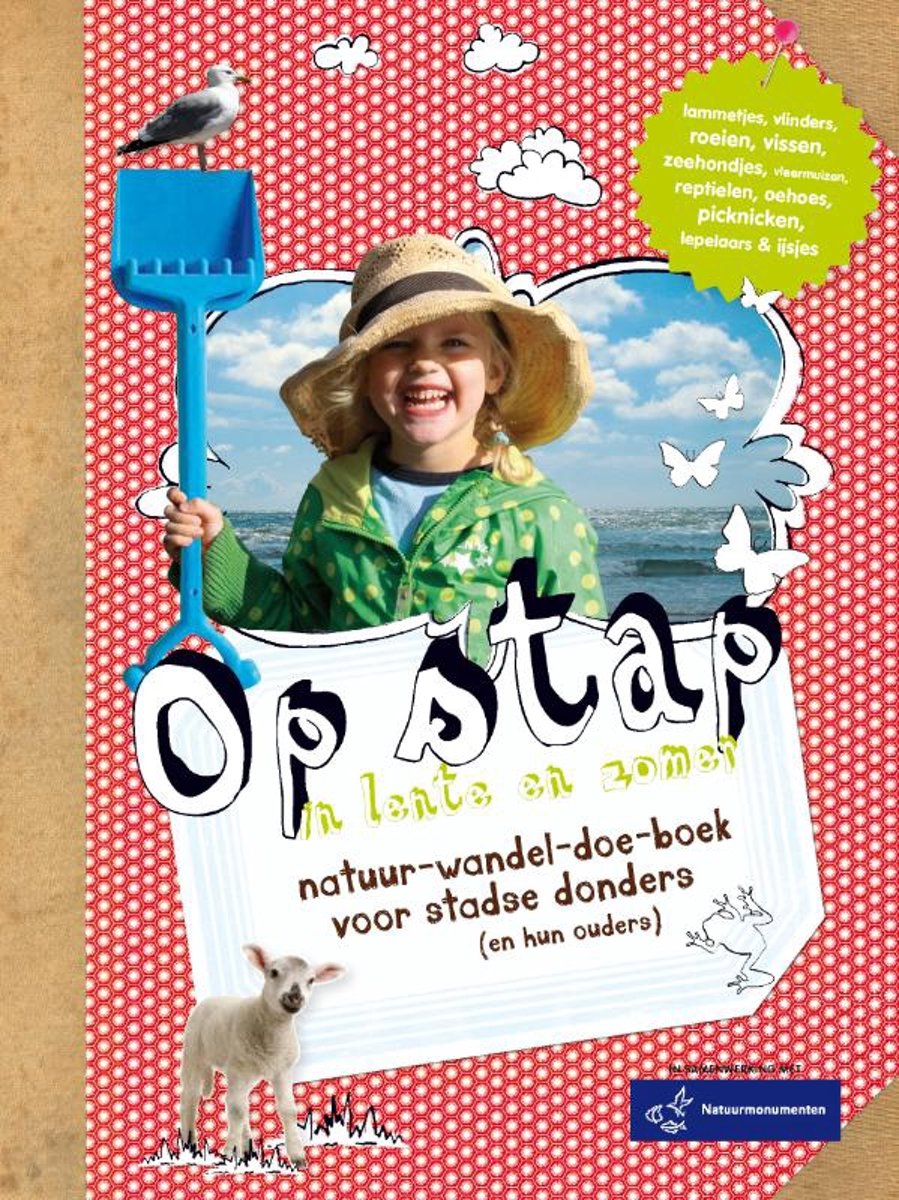
- Op stap in lente en zomer
- In de lente en zomer moet je zo veel mogelijk naar buiten. Krokusjes schieten uit de grond, vogels vliegen af en aan met takjes voor hun nesten, je kunt kikkerdril zien drijven en dan die schattige lammetjes! En oh ja, uit onderzoek blijkt dat al dat groen goed is voor jou en vooral voor je kinderen. Nu alleen jezelf en die kinderen nog van de... Read more
- Also available from:
- Bol.com, Belgium
Belgium
- Op stap in lente en zomer
- In de lente en zomer moet je zo veel mogelijk naar buiten. Krokusjes schieten uit de grond, vogels vliegen af en aan met takjes voor hun nesten, je kunt kikkerdril zien drijven en dan die schattige lammetjes! En oh ja, uit onderzoek blijkt dat al dat groen goed is voor jou en vooral voor je kinderen. Nu alleen jezelf en die kinderen nog van de... Read more
Netherlands
2018
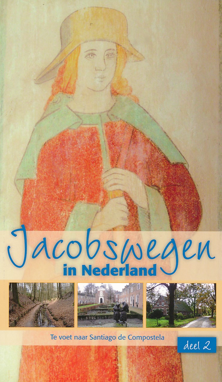
- Wandelgids - Pelgrimsroute Jacobswegen in Nederland: deel 2 Oost | Nederlands Genootschap van Sint Jacob
- De lang gevoelde behoefte aan een gids met Nederlandse routes naar Santiago is in vervulling gegaan. In november 2011 is de dubbelgids Jacobswegen in Nederland verschenen. Deel 2 omvat de wegen vanuit het noorden en oosten. De hoofdroutes beginnen in Hasselt waar ze voortgaan op de al bestaande wegen uit Sint Jacobiparochie (het Jabikspaad) en... Read more
Netherlands
2016
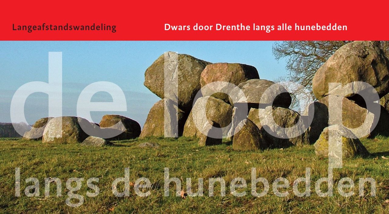
- Wandelgids De loop van Langs de hunebedden | Het Drentse Landschap
- De Loop langs de Hunebedden is een nieuwe uitgave van Het Drentse Landschap. Deze handzame en overzichtelijke wandelgids brengt u in meerdere dag etappe's langs de Drentse hunebedden. Hans Dekker maakte de foto’s van natuur en landschap onderweg. De gids bevat ook informatie over de geschiedenis van de hunebedden. De Loop langs de Hunebedden is... Read more
Maps

United Kingdom
- Rhine Cycle Route 4 - Cologne to Hoek van Holland Bikeline Map-Guide
- The Rhine Cycle Route Part 4 – a 442-km long section from Cologne to the North Sea presented by Verlag Esterbauer in a guide with maps at 1:75,000 showing the route and its variants. Extensive information is conveyed by symbols, indicating road surface, campsites and other accommodation, repair workshops, recreational facilities, places of... Read more

United Kingdom
- De Peel
- De Peel area of the Netherlands in a series of walking and cycling maps at 1:25,000 – 1:35,000, published by Falk BV in cooperation with Staatsbosbeheer – Dutch government’s organization for forestry and the management of nature reserves.Colouring indicates different types of vegetation or terrain: woodland, pastures, heath or sand dunes. Given... Read more

United Kingdom
- Belgian Coast - Bruges Cycling Map 30
- The coast of Belgium at 1:50,000 in a series from Falk B.V. showing the network of signposted cycling routes on large, double-sided indexed maps with prominent highlighting of long-distance LF routes, symbols indicating accommodation and other tourist services, plus in each title two or more panels with recommended local circuits and additional... Read more

United Kingdom
- C30 Harwich to Hoek van Holland and Dover Strait
- Plans included:Dunkerque (1:25 000)Nieuwpoort (1:30 000)Oostende (1:20 000)Blankenberge (1:10 000)Zeebrugge (1:35 000)Breskens (1:12 500)Vlissingen (1:20 000)On this edition the latest wind farm information is included as is the latest depth survey information. Read more

United Kingdom
- Holland Cycling Region Bikeline Map-Guide
- A tour around the Ijsselmeer, plus 15 shorter day tours in the western part of the Netherlands, altogether offering over 1000km of cycle routes presented by the Verlag Esterbauer in guide with maps at 1:75,000 showing the routes and their variants. Extensive information is conveyed by symbols, indicating road surface, campsites and other... Read more
United Kingdom
- De Biesbosch
- De Biesbosch area of the Netherlands in a series of walking and cycling maps at 1:25,000 – 1:35,000, published by Falk BV in cooperation with Staatsbosbeheer – Dutch government’s organization for forestry and the management of nature reserves.Colouring indicates different types of vegetation or terrain: woodland, pastures, heath or sand dunes.... Read more

United Kingdom
- Kempenland - de Meijerij Falkplan Cycling Map 18
- Kempenland region of the Netherlands at 1:50,000 in a series from Falk B.V. showing the network of signposted cycling routes on large, double-sided indexed maps with prominent highlighting of long-distance LF routes, symbols indicating accommodation and other tourist services, plus in each title two or more panels with recommended local... Read more
United Kingdom
- Meinweg - Leudal
- Meinweg - Leudal area of the Netherlands in a series of walking and cycling maps at 1:25,000 – 1:35,000, published by Falk BV in cooperation with Staatsbosbeheer – Dutch government’s organization for forestry and the management of nature reserves.Colouring indicates different types of vegetation or terrain: woodland, pastures, heath or sand... Read more

United Kingdom
2021
- South-Holland South - Goeree-Overflakkee Falkplan Cycling Map 15
- The southern part of the South Holland Province of the Netherlands at 1:50,000 in a series from Falk B.V. showing the network of signposted cycling routes on large, double-sided indexed maps with prominent highlighting of long-distance LF routes, symbols indicating accommodation and other tourist services, plus in each title two or more panels... Read more

United Kingdom
- North Holland - with Kennemerland Falkplan Cycling Map 13
- North Holland Province of the Netherlands at 1:50,000 in a series from Falk B.V. showing the network of signposted cycling routes on large, double-sided indexed maps with prominent highlighting of long-distance LF routes, symbols indicating accommodation and other tourist services, plus in each title two or more panels with recommended local... Read more
United Kingdom
- Oostvaardersplassen
- Oostvaardersplassen area of the Netherlands in a series of walking and cycling maps at 1:25,000 – 1:35,000, published by Falk BV in cooperation with Staatsbosbeheer – Dutch government’s organization for forestry and the management of nature reserves.Colouring indicates different types of vegetation or terrain: woodland, pastures, heath or sand... Read more

United Kingdom
- Gooi & Vechtstreek: Hilversum - Amersfoort - Utrecht
- Gooi and Vechtstreek - a popular hiking area south-east of Amsterdam - on a light, double-sided, waterproof and tear-resistant, GPS-compatible maps at 1:25,000 from ANWB, the country’s main motoring and touring organization. Coverage on the northern side extends southwards from the historic town of Naarden, and west/east between the... Read more
United Kingdom
- Drentsche A
- Drentsche A area of the Netherlands in a series of walking and cycling maps at 1:25,000 – 1:35,000, published by Falk BV in cooperation with Staatsbosbeheer – Dutch government’s organization for forestry and the management of nature reserves.Colouring indicates different types of vegetation or terrain: woodland, pastures, heath or sand dunes.... Read more
United Kingdom
- South-Holland North - Green Heart West and Bollenstreek Falkplan Cycling Map 14
- The northern part of the South Holland Province of the Netherlands at 1:50,000 in a series from Falk B.V. showing the network of signposted cycling routes on large, double-sided indexed maps with prominent highlighting of long-distance LF routes, symbols indicating accommodation and other tourist services, plus in each title two or more panels... Read more

United Kingdom
2010
- Gelderse Valley
- Gelderse Valley on a waterproof, tear-resistant, GPS compatible walking map at 1:25,000 from Trage Paden, in a series of maps with extensive overprint for long-distance and local walking routes. GPS waypoints and route profiles are available for download from the publisher’s website.Contours used in this map series vary between 2,5 to 5m... Read more