
Zeeland
Description
Map

Trails in this state
Links
Facts
Reports
Guides and maps
Lodging
Organisations
Tour operators
GPS
Other
Books

Stanfords
United Kingdom
2021
United Kingdom
2021
- DK Eyewitness New Zealand
- Welcome to New Zealand, the land of the long white cloudWhether you`re seeking your next adrenaline-fix, the best places to learn more about Maori culture, or the perfect geothermal pool to unwind in, your DK Eyewitness travel guide makes sure you experience all that New Zealand has to offer.An explosion of dramatic scenery, this far-flung... Read more

Stanfords
United Kingdom
United Kingdom
- Ipswich, The Naze & Clacton-on-Sea OS Landranger Active Map 169 (waterproof)
- Ipswich with Harwich and The Naze area, including part of the E2 European Long-distance Path, on a waterproof and tear-resistant OS Active version of map No. 169 from the Ordnance Survey’s Landranger series at 1:50,000, with contoured and GPS compatible topographic mapping plus tourist information.MOBILE DOWNLOADS: As well as the physical... Read more

Stanfords
United Kingdom
United Kingdom
- North York Moors Western OS Explorer Active Map OL26 (waterproof)
- The western part of the North York Moors National Park on a detailed topographic and GPS compatible map OL26, waterproof version, from the Ordnance Survey’s 1:25,000 Explorer series. Coverage extends from Ampleforth in the south northwards to Saltburn-by-the-Sea, and from Ingleby Arncliffe to Danby, Castleton and Hutton-le-Hole, and includes... Read more

Stanfords
United Kingdom
United Kingdom
- Ely, Wisbech & Downham Market OS Landranger Active Map 143 (waterproof)
- Cambridgeshire around Ely, Wisbech and Downham Market, including part of the E2 European Long-distance Path, on a waterproof and tear-resistant OS Active version of map No. 143 from the Ordnance Survey’s Landranger series at 1:50,000, with contoured and GPS compatible topographic mapping plus tourist information.MOBILE DOWNLOADS: As well as the... Read more

Stanfords
United Kingdom
United Kingdom
- Bournemouth, Purbeck, Wimborne Minster & Ringwood OS Landranger Active Map 195 (waterproof)
- Bournemouth and the Isle of Purbeck area, including part of the New Forest National Park and a section of the South West Coast Path / E9 European Long-distance Path, on a waterproof and tear-resistant OS Active version of map No. 195 from the Ordnance Survey’s Landranger series at 1:50,000, with contoured and GPS compatible topographic mapping... Read more

Stanfords
United Kingdom
United Kingdom
- Stratford-upon-Avon, Warwick & Banbury OS Landranger Active Map 151 (waterproof)
- The area between Stratford-upon-Avon, Warwick and Banbury, including the northern part of the Cotswold Hills and part of the Cotswold Way / E2 European Long-distance Path, on a waterproof and tear-resistant OS Active version of map No. 151 from the Ordnance Survey’s Landranger series at 1:50,000, with contoured and GPS compatible topographic... Read more

Stanfords
United Kingdom
United Kingdom
- The Solent, Isle of Wight, Southampton & Portsmouth OS Landranger Active Map 196 (waterproof)
- Isle of Wight with the Southampton - Portsmouth area, including part of the New Forest National Park and a section of the E9 European Long-distance Path, on a waterproof and tear-resistant OS Active version of map No. 196 from the Ordnance Survey’s Landranger series at 1:50,000, with contoured and GPS compatible topographic mapping plus tourist... Read more

Stanfords
United Kingdom
United Kingdom
- Maidstone, Royal Tunbridge Wells, Sevenoaks & Tonbridge OS Landranger Active Map 188 (waterproof)
- Maidstone, Tunbridge Wells and the High Weald area, including a section of the North Downs Way / E2 European Long-distance Path, on a waterproof and tear-resistant OS Active version of map No. 188 from the Ordnance Survey’s Landranger series at 1:50,000, with contoured and GPS compatible topographic mapping plus tourist information.MOBILE... Read more

Stanfords
United Kingdom
United Kingdom
- Cambridge, Newmarket & Saffron Walden OS Landranger Active Map 154 (waterproof)
- Parts of Cambridgeshire, Suffolk and Essex with Cambridge, Newmarket and Saffron Walden, including part of the E2 European Long-distance path, on a waterproof and tear-resistant OS Active version of map No. 154 from the Ordnance Survey’s Landranger series at 1:50,000, with contoured and GPS compatible topographic mapping plus tourist... Read more

Stanfords
United Kingdom
United Kingdom
- Eastbourne, Hastings, Crowborough, Battle & Heathfield OS Landranger Active Map 199 (waterproof)
- Eastbourne and Hastings area, including the Seven Sisters and sections of the South Downs Way and the E9 European Long-distance Path, on a waterproof and tear-resistant OS Active version of map No. 199 from the Ordnance Survey’s Landranger series at 1:50,000, with contoured and GPS compatible topographic mapping plus tourist information.MOBILE... Read more

Stanfords
United Kingdom
United Kingdom
- Cheltenham, Cirencester & Stow-on-the-Wold OS Landranger Active Map 163 (waterproof)
- Cheltenham and Cirencester area, including sections of the Thames Path, the Cotswold Way and the E2 European Long-distance Path, on a waterproof and tear-resistant OS Active version of map No. 163 from the Ordnance Survey’s Landranger series at 1:50,000, with contoured and GPS compatible topographic mapping plus tourist information.MOBILE... Read more

Stanfords
United Kingdom
United Kingdom
- Bury St Edmunds, Sudbury & Stowmarket OS Landranger Active Map 155 (waterproof)
- Suffolk around Bury St Edmunds, Sudbury and Stowmarket, including part of the E2 European Long-distance path, on a waterproof and tear-resistant OS Active version of map No. 155 from the Ordnance Survey’s Landranger series at 1:50,000, with contoured and GPS compatible topographic mapping plus tourist information.MOBILE DOWNLOADS: As well as... Read more

Stanfords
United Kingdom
United Kingdom
- Oxford, Chipping Norton & Bicester OS Landranger Active Map 164 (waterproof)
- Oxford area, including sections of the Thames Path and the E2 European Long-distance Path, on a waterproof and tear-resistant OS Active version of map No. 164 from the Ordnance Survey’s Landranger series at 1:50,000, with contoured and GPS compatible topographic mapping plus tourist information.MOBILE DOWNLOADS: As well as the physical edition... Read more

- Also available from:
- De Zwerver, Netherlands

Stanfords
United Kingdom
United Kingdom
- Ashford, Romney Marsh, Rye & Folkestone OS Landranger Map 189 (paper)
- Ashford and Romney Marsh area, including sections of the North Downs Way and the E9 European Long-distance Path, on a paper version of map No. 189 from the Ordnance Survey’s Landranger series at 1:50,000, with contoured and GPS compatible topographic mapping plus tourist information.MOBILE DOWNLOADS: As well as the physical edition of the map,... Read more
- Also available from:
- The Book Depository, United Kingdom
- De Zwerver, Netherlands


De Zwerver
Netherlands
Netherlands
Maps

Stanfords
United Kingdom
United Kingdom
- Luxembourg North
- One of two topographic survey maps of Luxembourg at 1:50,000, with contours at 10-metres intervals and additional relief shading. An overprint highlights long-distance footpaths, including the GR5 (E-2), cycle routes, and various places of interest, including campsites. The map covers an area of approximately 53 x 43 km / 33 x 27 miles. Map... Read more

Stanfords
United Kingdom
United Kingdom
- Luxembourg South
- One of two topographic survey maps of Luxembourg at 1:50,000, with contours at 10-metres intervals and additional relief shading. An overprint highlights long-distance footpaths, including the GR5 (E-2), cycle routes, and various places of interest, including campsites. The map covers an area of approximately 53 x 43 km / 33 x 27 miles. Map... Read more

Stanfords
United Kingdom
United Kingdom
- Northern Zealand Nordisk Cycling Map 1/8
- The Danish island of Zealand at 1:100,000 on a sturdy, waterproof and tear-resistant, double-sided cycling map from the Copenhagen-based Nordisk Korthandel, showing the country’s national, regional and local cycling routes with numbers, plus locations of campsites and youth hostels, etc. The map, with a generous overlap between the sides,... Read more

Stanfords
United Kingdom
United Kingdom
- NL4 Rijn en Maas Delta
- Passage ChartsC1 Zuidelijke Noordzeekust · Zeeland 1: 375.000 Coastal ChartsC2 West Schouwen tot Westhoofd 1 : 50.000 C3 Westhoofd tot Europoort 1 : 50.000 C4 Europoort · Maasgeul 1 : 30.000 C5 Nieuwe Waterweg · Maassluis 1 : 25.000 C6 Rotterdam West 1 : 25.000 C7 Rotterdam Oost 1 : 25.000 C8 Zwijndrecht · Dordrecht 1 : 20.000 C9 Brielsemeer... Read more

Stanfords
United Kingdom
United Kingdom
- NL5 Ooster en Westerschelde
- Passage ChartsC1 Zuidelijke Noordzeekust · Zeeland 1:375.000RevierkartenC2 Westerschelde Monding 1:50.000 C3A Oosterschelde Monding 1:50.000 C3B Westerschelde · Vlissingen tot Braakman 1:50.000 C4 Westerschelde · Braakman tot Turfplaten 1:50.000 C5 Westerschelde · Turfplaten tot Antwerpen 1:30.000 C6 Antwerpen 1:30.000 C7A-C Kanaal Gent tot... Read more

Stanfords
United Kingdom
United Kingdom
- Zeeland Islands with Zeelandic Flanders Falkplan Cycling Map 16
- Zeeland Province of the Netherlands at 1:50,000 in a series from Falk B.V. showing the network of signposted cycling routes on large, double-sided indexed maps with prominent highlighting of long-distance LF routes, symbols indicating accommodation and other tourist services, plus in each title two or more panels with recommended local circuits... Read more

Stanfords
United Kingdom
United Kingdom
- Imray 2120 North Sea - Nieuwpoort to Den Helder Chart Atlas 2020: Nieuwpoort to Den Helder (including North Sea Passage Planning sheet): 2020
- Coverage is the North Sea coast, from the Belgian-French border, through the Zeeland, South Holland and North Holland coasts up to and including Den Helder.Included in the atlas are all of the navigational charts and tidal data required for coastal passage and approach. Also included is a larger-format passage planning sheet for plotting routes... Read more

Stanfords
United Kingdom
United Kingdom
- Zeelandic Flanders - Meetjesland and Waasland Falkplan Cycling Map 31
- The Dutch province of Zeeland south of the Scheldt Estuary and the northern part of the East Flanders province of Belgium at 1:50,000 in a series from Falk B.V. showing the network of signposted cycling routes on large, double-sided indexed maps with prominent highlighting of long-distance LF routes, symbols indicating accommodation and other... Read more

Stanfords
United Kingdom
United Kingdom
- Schouwen Duiveland
- Schouwen Duiveland area of the Netherlands in a series of walking and cycling maps at 1:25,000 – 1:35,000, published by Falk BV in cooperation with Staatsbosbeheer – Dutch government’s organization for forestry and the management of nature reserves.Colouring indicates different types of vegetation or terrain: woodland, pastures, heath or sand... Read more
De Zwerver
Netherlands
2018
Netherlands
2018
- Wegenkaart - landkaart Nieuw - Zeeland | Borch
- New Zealand / Neuseeland 1 : 1 300 000 + City Maps ab 9.9 EURO North Island / South Island / Auckland, Christchurch 1 : 20 000 / Dunedin, Rotorua 1 : 15 000 / Wellington 1 : 20 000 - Laminiert Borch Map. Nachdruck Read more
De Zwerver
Netherlands
Netherlands
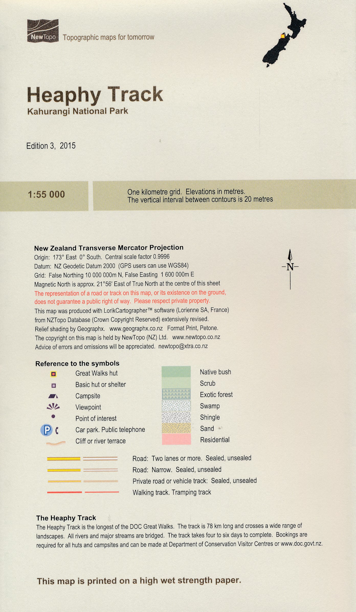
- Wandelkaart Heaphy track - Kahurangi National Park | NewTopo NZ
- Een kaartenserie van NewTopoNZ van vrijwel alle nationale parken, meerdaagse tochten en belangrijke wandelgebieden in Nieuw Zeeland. We hebben een selectie van de kaarten op voorraad. Het zijn bijzonder leesbare kaarten met een helder kaartbeeld in goede kleurstelling. Alle belangrijke topografische details kun je er op terugvinden:... Read more
De Zwerver
Netherlands
Netherlands
- Topografische kaart - Wandelkaart 49B Bergen op Zoom | Kadaster
- De meest gedetailleerde kaart die via de verkoopkanalen verkrijgbaar is. Gemaakt door de Nederlandse Topografische dienst bevat deze kaart alle topografische elementen van het landschap en geeft daarmee een nauwkeurig beeld van het terrein. De meeste kaarten hebben een kaartbeeld dat overeenkomt met 12,5 x 10 kilometer in werkelijkheid. Naast... Read more