
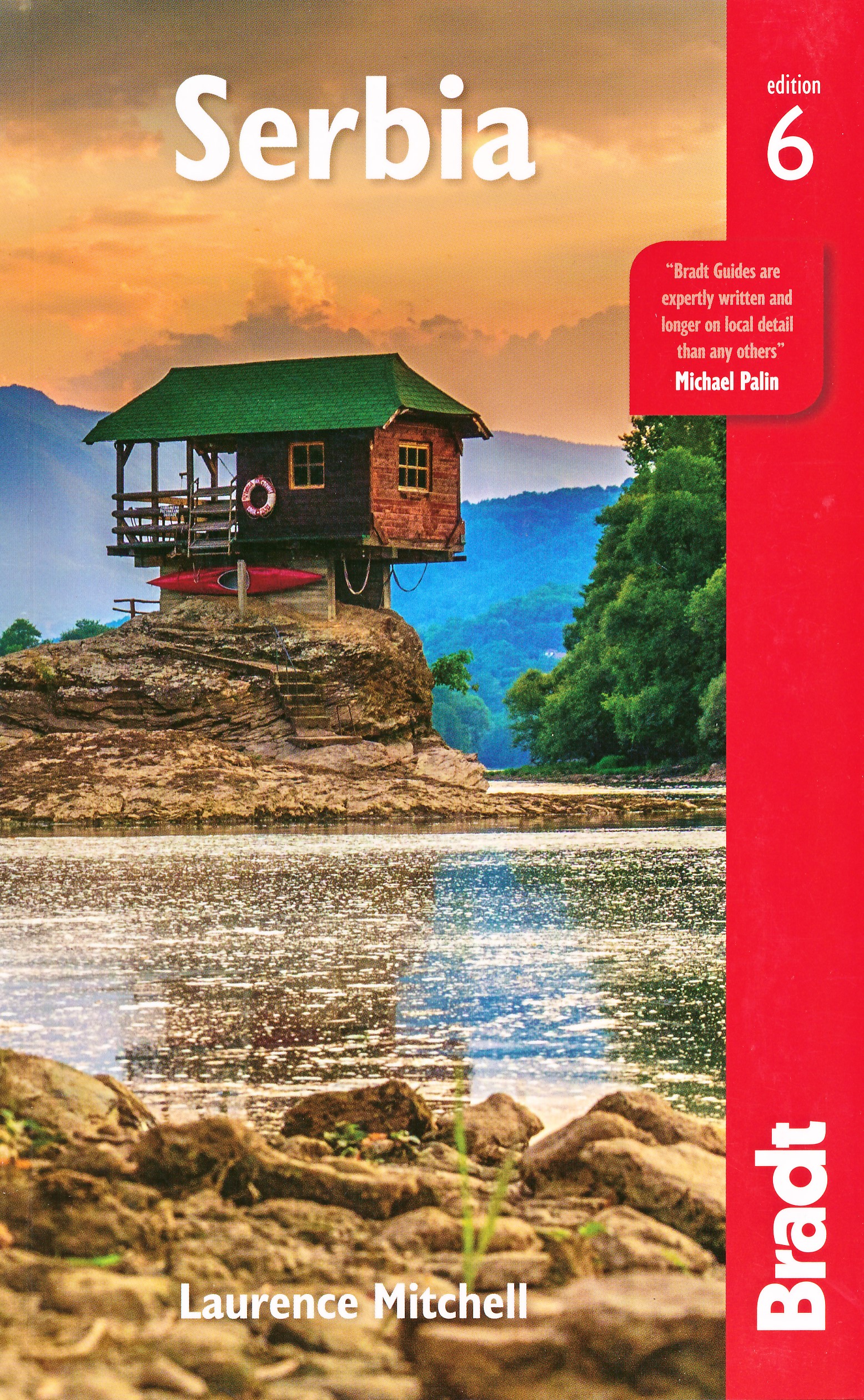
Serbia
Description

Landlocked in Central Europe, Serbia does not offer the breathtaking landscapes of some of its neighbours. Nevertheless, it does share with them several considerable mountain ranges, such as the Dinaric Alps, the Rhodope mountains, the Carpathians, and the Balkan range. In the north of Serbia is the Panonian Basin, Vojvodina, relatively flat with some interesting wetlands. The southern part of the country is the most mountainous. Remote valleys and dense forests abound, hiding Orthodox monasteries and isolated villages. Villages and fields are interspersed with large forested areas. Bear, Lynx and Wolf are common in the remote parts. The higher open parts of the mountains are used as summer pasture.
Rural life in Serbia – traditional, small plots, mixed - may be one of the reasons you want to visit this country. In the West of Europe, this life is gone, but in a country like Serbia, it is common. People are welcoming and will help you. Although most of the inhabitants, some 85%, are ethnic Serbs, you will find many other mixed ethnic communities, eager to get into contact with you.
Serbia has five National Parks, and more than thirty nature reserves and protected landscapes, many of which have marked hiking trails, hotels and mountain huts. The majority are day hikes, but you can combine them into multi-day hikes. The quality of the markings may vary from one place to another. The system used is a red circle / white spot, painted on trees and rocks. Maps are not easy to find, but do exist. Best chances are in the hotels and tourist centres in the national parks.
Marked long distance hiking trails are set out in the northern Fruska Gora National Park, which borders on the Danube river. Another hiking option is Stara Planina in the east, harbouring the spectacular Midzor peak (2169m) which, on a clear day, offers views all the way into Bulgaria, Macedonia and Kosovo. For a more pastoral experience try the eastern Homolje range. The roughest mountains and trails are in the west of Serbia, in Kopaonik and Tara for instance.
Travelling to even the remotest parts of the country is easy and cheap with the extensive and reliable bus network.
An exiting new development is the continuation of the E-paths in Serbia. The E4 and E7 are currently being created in the south respectively north, and when finished they will offer thousands of kilometres of unique hiking experience. Contact the Serbian Mountain Organisation, or Planinarski Savez Srbije, and they can send you information and even maps!
The northern basin gets very hot and humid in summer. In the mountainous areas in the southwest summer and autumn are also hot but dry, with more influences from the Mediterranean. Winter brings lots of snow at inland higher elevations, lasting well into spring. Best time for hiking are spring in the northern basin, and summer and autumn up in the mountains.
Trails
Regions
Links
Facts
Reports
Guides and maps
Lodging
Organisations
Tour operators
GPS
Other
Books

United Kingdom
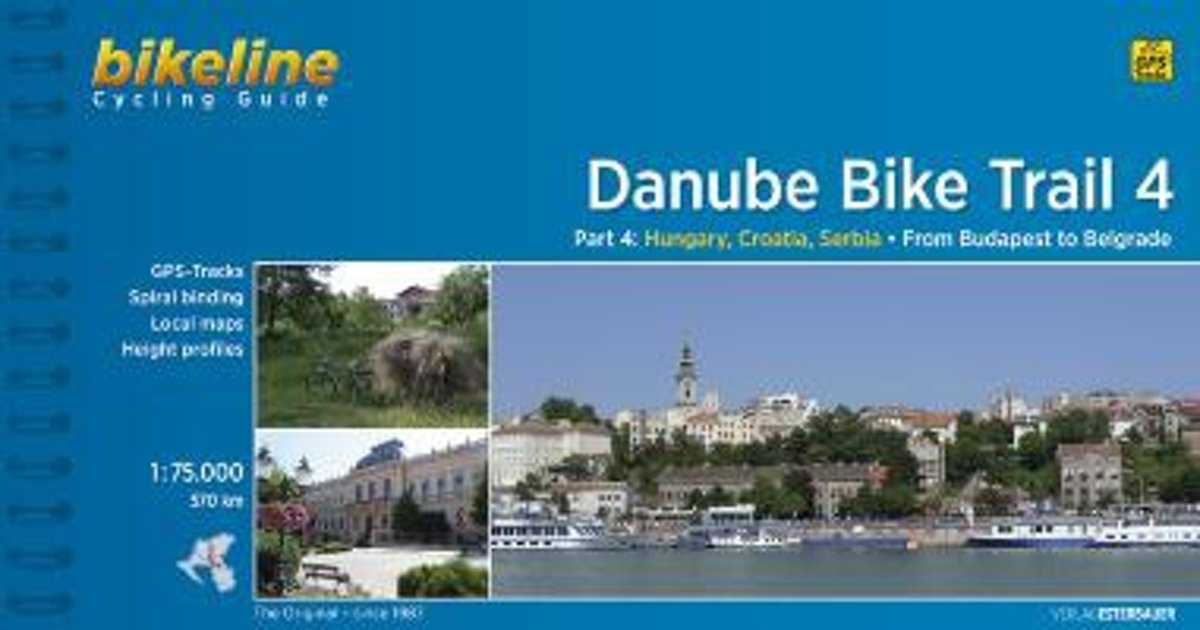
- Danube Cycle Route Part 4: Budapest - Belgrade (570km) Bikeline Map/Guide ENGLISH Ed.
- The Danube Cycle Route Part 4– the fourth, 570-km long section from Budapest via Osijek in Croatia to Belgrade – in an English language edition of Verlag Esterbauers’ Bikeline series, with detailed mapping at 1:75,000 highlighting the route and its variants, street plans for main cities, and extensive information conveyed by symbols indicating... Read more
- Also available from:
- Bol.com, Netherlands
- Bol.com, Belgium
Netherlands
- Danube Bike Trail 4 Cycling Guide Budapest to Belgrade
- If you are a keen touring cyclist and are looking for a slightly more adventurous ride in Europe, then this is the tour you are looking for. The 520 to 570?Kilometre long route from Budapest to Belgrad takes you through impressive landscapes, quiet rural villages and beautiful historic towns and cities, with traces of the region's turbulent... Read more
Belgium
- Danube Bike Trail 4 Cycling Guide Budapest to Belgrade
- If you are a keen touring cyclist and are looking for a slightly more adventurous ride in Europe, then this is the tour you are looking for. The 520 to 570?Kilometre long route from Budapest to Belgrad takes you through impressive landscapes, quiet rural villages and beautiful historic towns and cities, with traces of the region's turbulent... Read more

United Kingdom
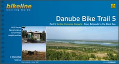
- Danube Cycle Route Part 5: Belgrade - Black Sea (1400km) Bikeline Map/Guide ENGLISH Ed.
- The Danube Cycle Route Part 5 – the fifth, 1400-km long section from Belgrade to the Black Sea – in an English language edition of Verlag Esterbauers’ Bikeline series. Coverage includes alternative routes along the Bulgarian or the Romanian side of the river, plus a variant within Romania via Constanta to the Danube Delta. The guide provides... Read more
- Also available from:
- Bol.com, Netherlands
- Bol.com, Belgium
Netherlands
- Danube Bike Trail 5 Belgrad - Black Sea
- Bikeline Radtourenbücher. 1. Auflage. Read more
Belgium
- Danube Bike Trail 5 Belgrad - Black Sea
- Bikeline Radtourenbücher. 1. Auflage. Read more

- Also available from:
- Bol.com, Netherlands
- Bol.com, Belgium
Netherlands
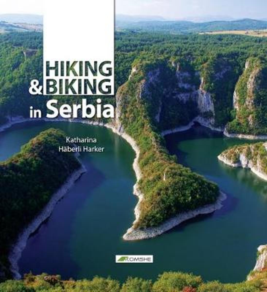
- Wandelen / hiking en fietsen in Servie - Hiking and Biking in Serbia
- First comprehensive outdoor guide book for Serbia.The perfect companion for the easy to medium level hiker and biker, birdwatcher, wildlife and outdoor lover. All routes have been personally checked out by the author. The book covers over 30 described routes with detailed maps, trail descriptions and timings, beautiful photos and carefully... Read more
Belgium
- Wandelen / hiking en fietsen in Servie - Hiking and Biking in Serbia
- First comprehensive outdoor guide book for Serbia.The perfect companion for the easy to medium level hiker and biker, birdwatcher, wildlife and outdoor lover. All routes have been personally checked out by the author. The book covers over 30 described routes with detailed maps, trail descriptions and timings, beautiful photos and carefully... Read more
Netherlands
2017
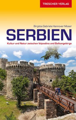
- Reisgids Serbien - Servië | Trescher Verlag
- Goede Duitstalige reisgids met veel culturele beschrijvingen. Daarnaast ook aandacht voor praktische zaken als overnachten en rondreizen. Bijzondere duitse uitgever, vaak als eerste een boek over een bepaald gebied of land. – – – Alle Regionen Serbiens auf 540 Seiten – Umfangreiche Hintergrundinformationen zur Geschichte und zu aktuellen... Read more
Netherlands
2015
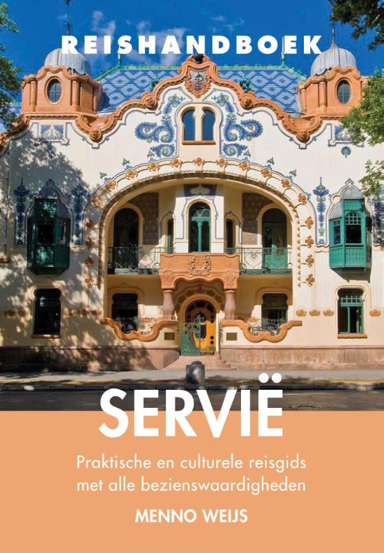
- Reisgids Reishandboek Servië | Uitgeverij Elmar
- Praktische en culturele reisgids met alle bezienswaardigheden Het reishandboek Servië neemt je mee op reis door de verschillende gebieden van Servië. Deze reisgids gaat uitvoerig in op de natuur, cultuur en geschiedenis van Servië; geeft achtergrondinformatie over de bezienswaardigheden en biedt praktische tips die je op weg helpt in dit nog... Read more
Netherlands
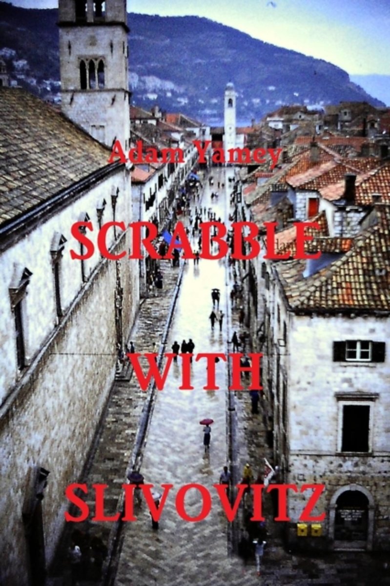
- SCRABBLE WITH SLIVOVITZ - Once upon a time in Yugoslavia
- Adam Yamey visited Yugoslavia frequently over a period of more than 20 years. He criss-crossed the country from north to south and east to west. During his travels,he stood in the footsteps of Archduke Ferdinand's assassin in Sarajevo and those of Emperor Diocletian in Split, ate Chinese food in Novi Sad and offal at Rtanj, and also played... Read more
- Also available from:
- Bol.com, Belgium
Belgium
- SCRABBLE WITH SLIVOVITZ - Once upon a time in Yugoslavia
- Adam Yamey visited Yugoslavia frequently over a period of more than 20 years. He criss-crossed the country from north to south and east to west. During his travels,he stood in the footsteps of Archduke Ferdinand's assassin in Sarajevo and those of Emperor Diocletian in Split, ate Chinese food in Novi Sad and offal at Rtanj, and also played... Read more
Netherlands
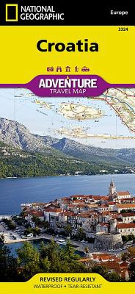
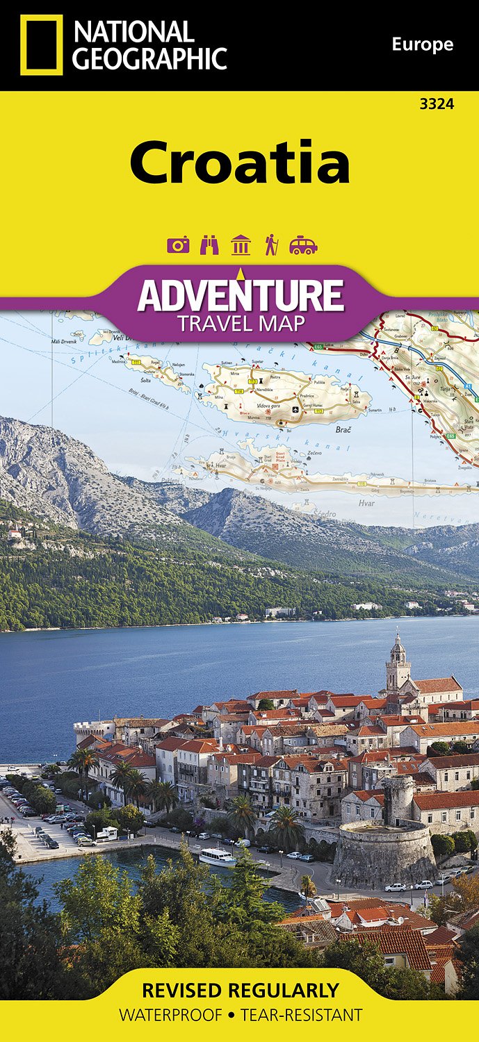
- Croatia
- Waterproof Tear-Resistant Travel MapCalled the jewel of the Adriatic Sea," Croatia's medieval cities, turquoise waters, and rugged mountains make this small Mediterranean county big on adventure! National Geographic's Croatia AdventureMap will meet the needs of Croatia's travelers with its durability and detailed, accurate... Read more
- Also available from:
- Bol.com, Belgium
- De Zwerver, Netherlands
Belgium
- Croatia
- Waterproof Tear-Resistant Travel MapCalled the jewel of the Adriatic Sea," Croatia's medieval cities, turquoise waters, and rugged mountains make this small Mediterranean county big on adventure! National Geographic's Croatia AdventureMap will meet the needs of Croatia's travelers with its durability and detailed, accurate... Read more
Netherlands
- Wegenkaart - landkaart 3324 Adventure Map Croatia - Kroatië | National Geographic
- Waterproof Tear-Resistant Travel MapCalled the jewel of the Adriatic Sea," Croatia's medieval cities, turquoise waters, and rugged mountains make this small Mediterranean county big on adventure! National Geographic's Croatia AdventureMap will meet the needs of Croatia's travelers with its durability and detailed, accurate... Read more
Maps

United Kingdom
- Europe Children`s Placemat
- This is a colourful and resistant placemat by Little Wigwam, featuring a political map of Europe with capitals and major cities. All the information is up-to-date and includes Serbia, Kosovo and Montenegro. The seas are named, lines of longitude and latitude are shown at 15 degree intervals, the Arctic Circle is marked and the mat features a... Read more

United Kingdom
- EuroVelo 6 - Danube Bike Trail - Budapest to the Black Sea 8-Map Set
- The Danube Cycle Route from Budapest to Constanta on the Black Sea coast of Romania, part of the EuroVelo 6, in set of eight compact maps at 1:100,000 from Huber Verlag. The main route and its variants or local detours are clearly highlighted to distinguish them from the surrounding roads, with the overprint indicating stretches on poor or... Read more

United Kingdom
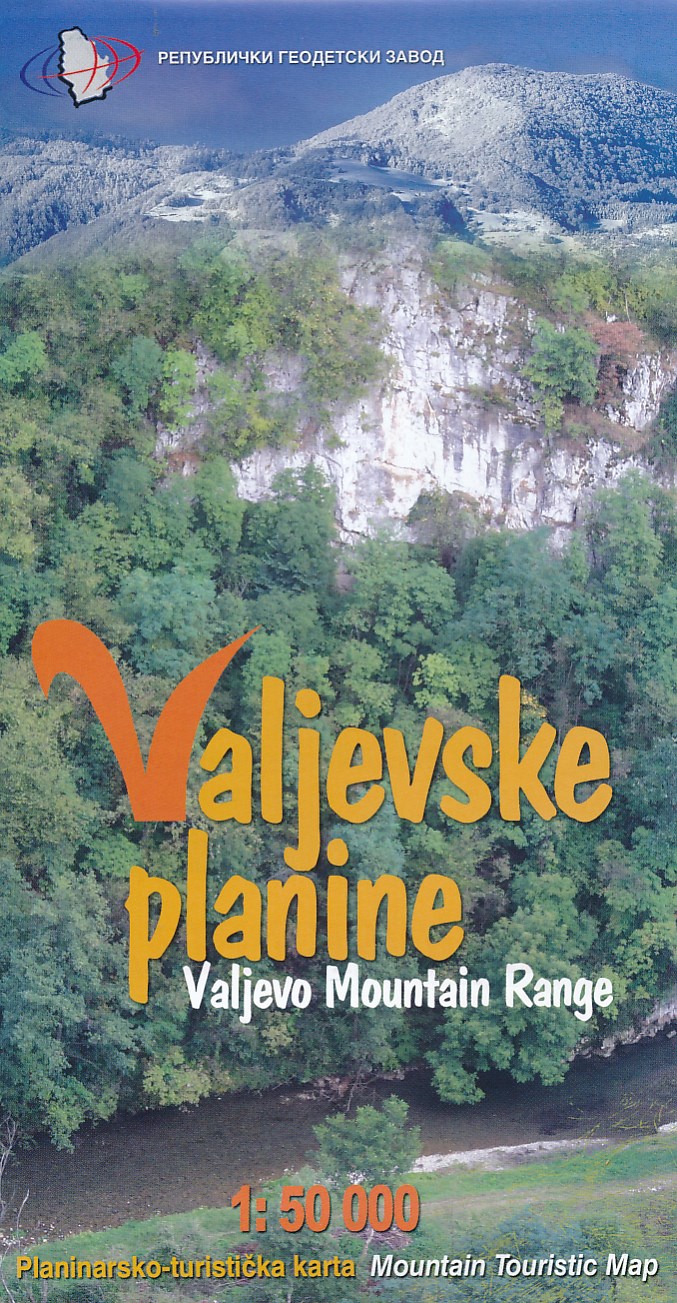
- Valjevo Mountain Range
- Valjevo Mountain Range at 1:50,000 on a detailed, GPS compatible map from the Belgrade based Geokarta highlighting waymarked hiking trails and tourist accommodation, with on the reverse extensive notes about the area.The map shows the topography by contours at 20m intervals, with colouring for the forested areas. An overprint highlights... Read more
- Also available from:
- De Zwerver, Netherlands
Netherlands
- Wandelkaart Valjevske planine - mountain range | GeoSrbija
- Valjevo Mountain Range at 1:50,000 on a detailed, GPS compatible map from the Belgrade based Geokarta highlighting waymarked hiking trails and tourist accommodation, with on the reverse extensive notes about the area.The map shows the topography by contours at 20m intervals, with colouring for the forested areas. An overprint highlights... Read more

United Kingdom
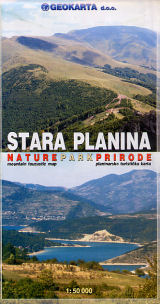
- Stara Planina
- The southern part of the Stara Planina Mountains in south-eastern Serbia at 1:50,000 from Geokarta, with hiking trails shown on a detailed, contoured topographic base with GPS coordinates, plus other tourist information.The map has contours at 20m intervals and colouring for forested areas, with additional symbols distinguishing deciduous or... Read more
- Also available from:
- De Zwerver, Netherlands
Netherlands
- Wandelkaart Stara Plana Naturepark Prirode - Servië | Geokarta
- The southern part of the Stara Planina Mountains in south-eastern Serbia at 1:50,000 from Geokarta, with hiking trails shown on a detailed, contoured topographic base with GPS coordinates, plus other tourist information.The map has contours at 20m intervals and colouring for forested areas, with additional symbols distinguishing deciduous or... Read more
Netherlands
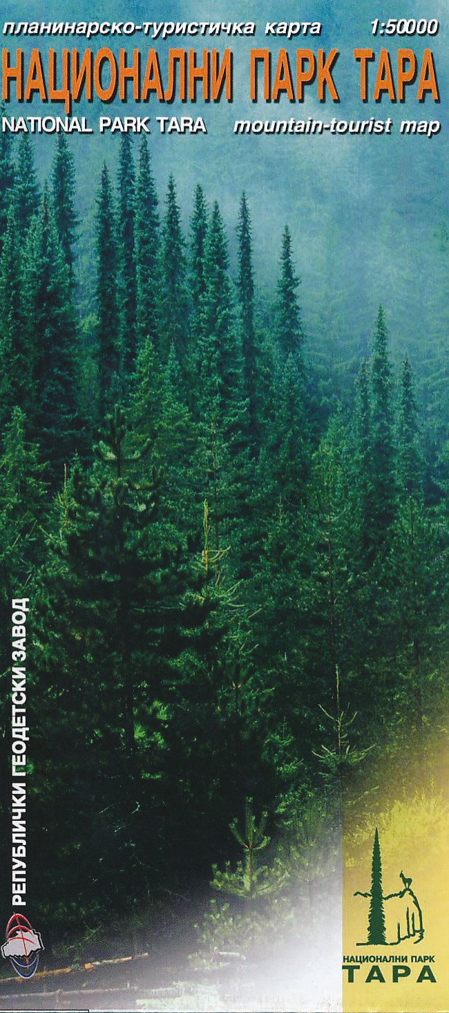
- Wandelkaart National Park Tara - Tapa - Servië | Trimaks
- Wandelkaart van het nationale park Tara. Met toeristische informatie. Meeste tekst in het Servisch, Engelse vertaling bij de legenda en Engelse informatie over het park. Read more
Netherlands
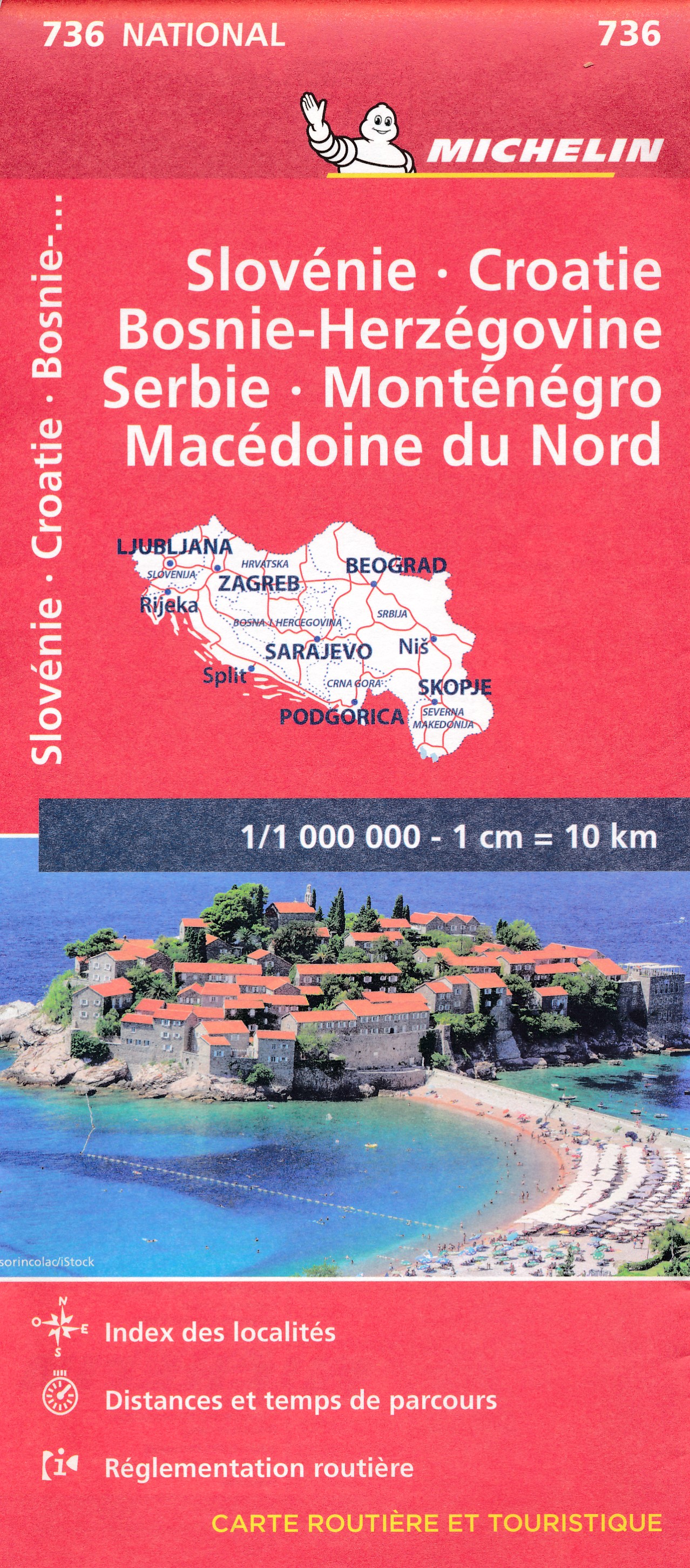
- Wegenkaart - landkaart 736 Slovenie, Kroatie, Bosnie-Herzegowina, Servie, Montenegro, Macedonie | Michelin
- Un voyage, ça se prépare : c?est pourquoi les cartes National Michelin participent à vos déplacements et vos choix d?itinéraires. Read more
Netherlands
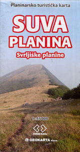
- Wandelkaart Suva Planina - Servië | Geokarta
- One side topographic marked with footpaths, ski trails, ski lifts, camp sites, picnic sites, mountain huts, also notable features in the landscape. Other side further information, additional words and pics of notable features, mountain huts etc. Suva Mountains with the Gorges of the Jelašnicka River on a detailed contoured map at 1:55,000, plus... Read more

United Kingdom
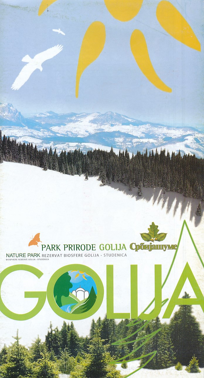
- Golija - Studenica Park and Biosphere Reserve
- Golija - Studenica Park and Biosphere Reserve, a UNESCO site, at 1:50,000 on a detailed contoured map from the Belgrade based Geokarta showing waymarked hiking trails, hotels and mountain huts, places of interest, etc. The map indicates the boundary of the park and within it the Golija - Studenica biosphere reserve, Contours are at 20m... Read more
- Also available from:
- De Zwerver, Netherlands
Netherlands
- Wandelkaart Park prirode Golija | Geokarta
- Golija - Studenica Park and Biosphere Reserve, a UNESCO site, at 1:50,000 on a detailed contoured map from the Belgrade based Geokarta showing waymarked hiking trails, hotels and mountain huts, places of interest, etc. The map indicates the boundary of the park and within it the Golija - Studenica biosphere reserve, Contours are at 20m... Read more
Netherlands
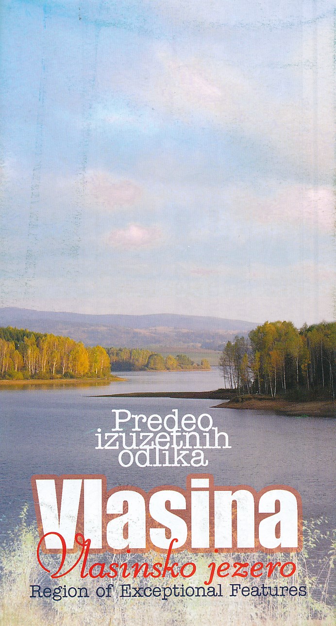
- Wandelkaart Vlasina - Vlasinsko jezero | Geokarta
- Gedetailleerde wandelkaart met hoogtelijnen, wandelroutes en toeristische informatie ingetekend van het gebied rond het Vlasinameer, Gramasa, Strezimirovci, Streser, Bozica (ten oosten van Surdulica) in zuidoost Servië Vlasina Lake is a topographic map of the lake and surrounding areas, also known for its cross country skiing and varied flora... Read more

United Kingdom
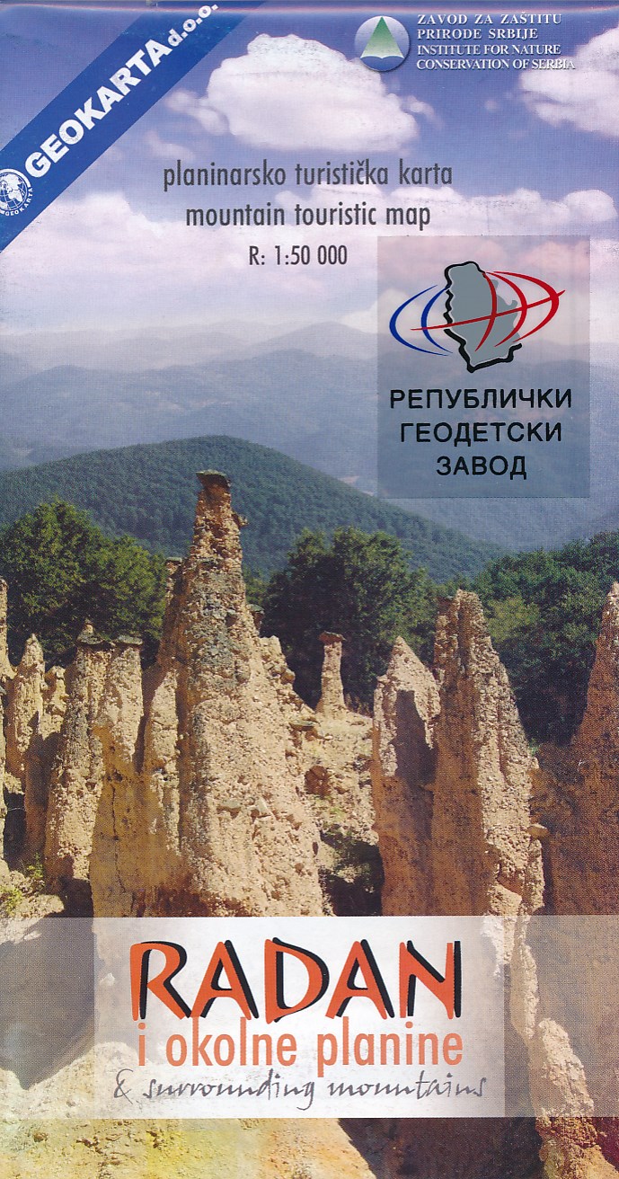
- Radan and Sokolovica Mountains
- Radan and Sokolovica Mountains at 1:50,000 on a detailed contoured map from the Belgrade based Geokarta showing waymarked hiking trails, hotels and mountain huts, places of interest, etc. Plus extensive notes in English.The map indicates boundaries of local hunting grounds of Sokolovica, Kocanica and Šumata as well as the protected nature... Read more
- Also available from:
- De Zwerver, Netherlands
Netherlands
- Wandelkaart Radan and surrounding mountains | Geokarta
- Radan and Sokolovica Mountains at 1:50,000 on a detailed contoured map from the Belgrade based Geokarta showing waymarked hiking trails, hotels and mountain huts, places of interest, etc. Plus extensive notes in English.The map indicates boundaries of local hunting grounds of Sokolovica, Kocanica and Read more

United Kingdom
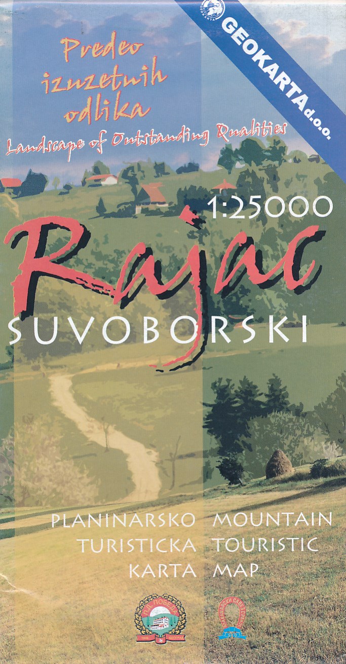
- Rajac Mountain
- Rajac Mountain in the Suvobor range at 1:25,000 on a detailed, GPS compatible map from the Belgrade based Geokarta highlighting waymarked hiking trails, with on the reverse extensive notes about the area.The map is centred on Rajac and shows the topography by contours at 10m intervals, with colouring for the forested areas. An overprint... Read more
- Also available from:
- De Zwerver, Netherlands
Netherlands
- Wandelkaart Rajac suvoborski | Geokarta
- Rajac Mountain in the Suvobor range at 1:25,000 on a detailed, GPS compatible map from the Belgrade based Geokarta highlighting waymarked hiking trails, with on the reverse extensive notes about the area.The map is centred on Rajac and shows the topography by contours at 10m intervals, with colouring for the forested areas. An overprint... Read more