
Guadeloupe
Description
Links
Facts
Reports
Guides and maps
Lodging
Organisations
Tour operators
GPS
Other
Books


- Also available from:
- De Zwerver, Netherlands


The Book Depository
United Kingdom
United Kingdom
Stanfords
United Kingdom
United Kingdom
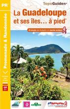
- La Guadeloupe et ses îles à pied
- La Guadeloupe et ses îles à pied, FFRP topo-guide Ref. No. D971, with 49 day walks of varying length and difficulty, plus coverage of the 65km-long GR1 across the mountains of the Basse Terre. The day walks include two on Marie-Galante, one on La Désirade, and two on Les Saintes islands. Each walk is presented on a separate colour extract from... Read more
- Also available from:
- The Book Depository, United Kingdom

The Book Depository
United Kingdom
United Kingdom
- Guadeloupe & ses iles a pied
- La Guadeloupe et ses îles à pied, FFRP topo-guide Ref. No. D971, with 49 day walks of varying length and difficulty, plus coverage of the 65km-long GR1 across the mountains of the Basse Terre. The day walks include two on Marie-Galante, one on La Désirade, and two on Les Saintes islands. Each walk is presented on a separate colour extract from... Read more
Bol.com
Netherlands
Netherlands
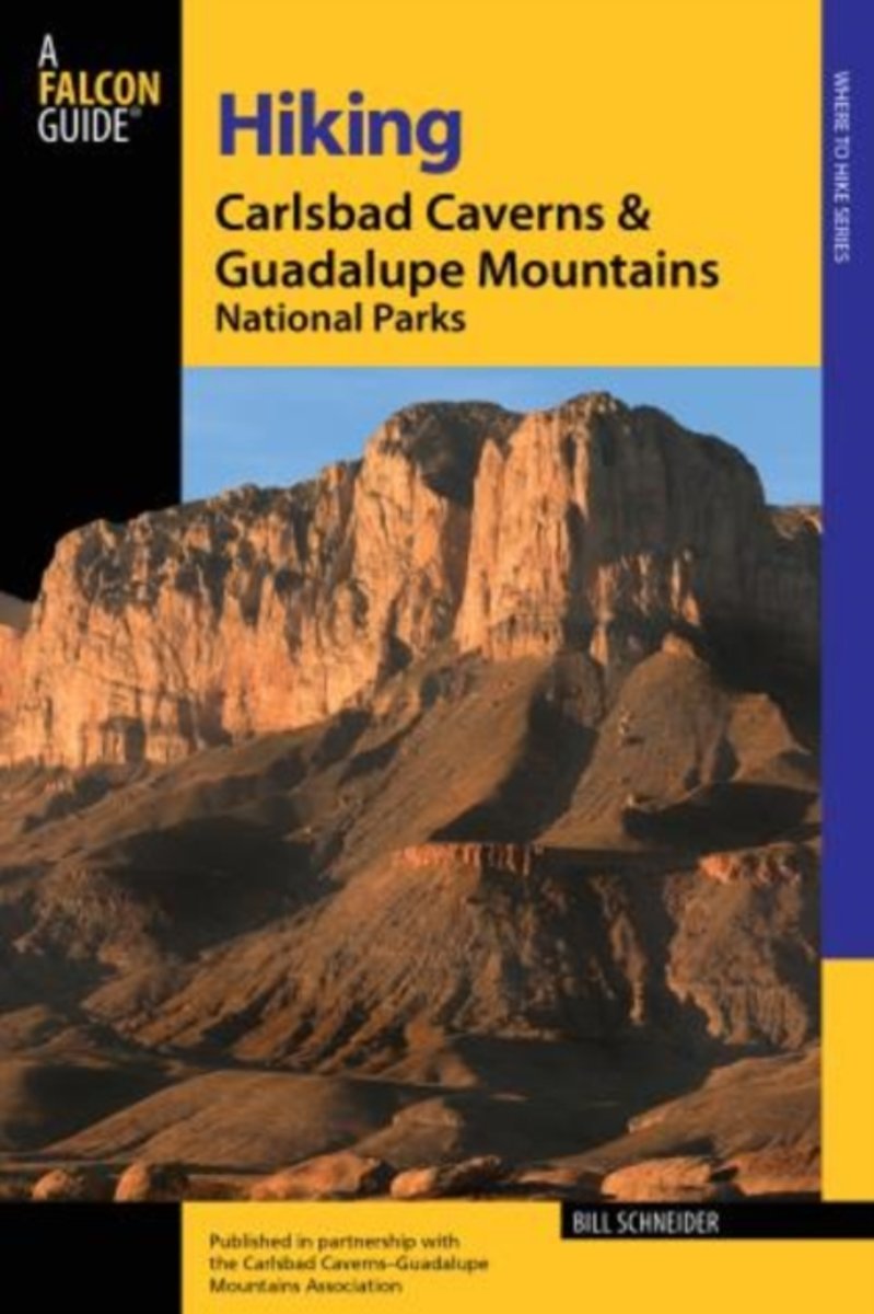
- Hiking Carlsbad Caverns & Guadalupe Mountains National Parks
- Carlsbad Caverns National Park in southeastern New Mexico is renowned for its amazing system of limestone caves. Both Carlsbad and the nearby Guadalupe Mountains National Park, just across the state line in Texas, are also blessed with spectacular above-ground trails. This thoroughly revised edition is the authoritative and the only... Read more
- Also available from:
- Bol.com, Belgium
Bol.com
Belgium
Belgium
- Hiking Carlsbad Caverns & Guadalupe Mountains National Parks
- Carlsbad Caverns National Park in southeastern New Mexico is renowned for its amazing system of limestone caves. Both Carlsbad and the nearby Guadalupe Mountains National Park, just across the state line in Texas, are also blessed with spectacular above-ground trails. This thoroughly revised edition is the authoritative and the only... Read more
Bol.com
Netherlands
Netherlands
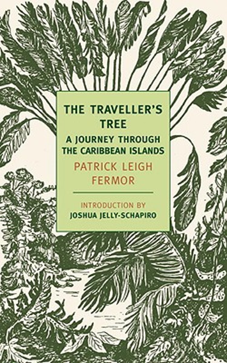
- The Traveller's Tree
- In the late 1940s Patrick Leigh Fermor, now widely regarded as one of the twentieth century s greatest travel writers, set out to explore the then relatively little-visited islands of the Caribbean. Rather than a comprehensive political or historical study of the region, The Traveller s Tree, Leigh Fermor s first book, gives us his own vivid,... Read more
- Also available from:
- Bol.com, Belgium
Bol.com
Belgium
Belgium
- The Traveller's Tree
- In the late 1940s Patrick Leigh Fermor, now widely regarded as one of the twentieth century s greatest travel writers, set out to explore the then relatively little-visited islands of the Caribbean. Rather than a comprehensive political or historical study of the region, The Traveller s Tree, Leigh Fermor s first book, gives us his own vivid,... Read more
De Zwerver
Netherlands
2023
Netherlands
2023
Maps

Stanfords
United Kingdom
United Kingdom
- Caribbean Islands East & South ITMB Travel Atlas
- The islands of the eastern and southern Caribbean presented by ITMB in a handy size, A5, paperback, indexed atlas with city centre street plans of main cities. The mapping is taken from ITMB’s extensive coverage of the region on individual country maps, so scales vary.The atlas covers: Antigua and Barbuda (1:35,000/25,000, with street plans of... Read more

Stanfords
United Kingdom
United Kingdom
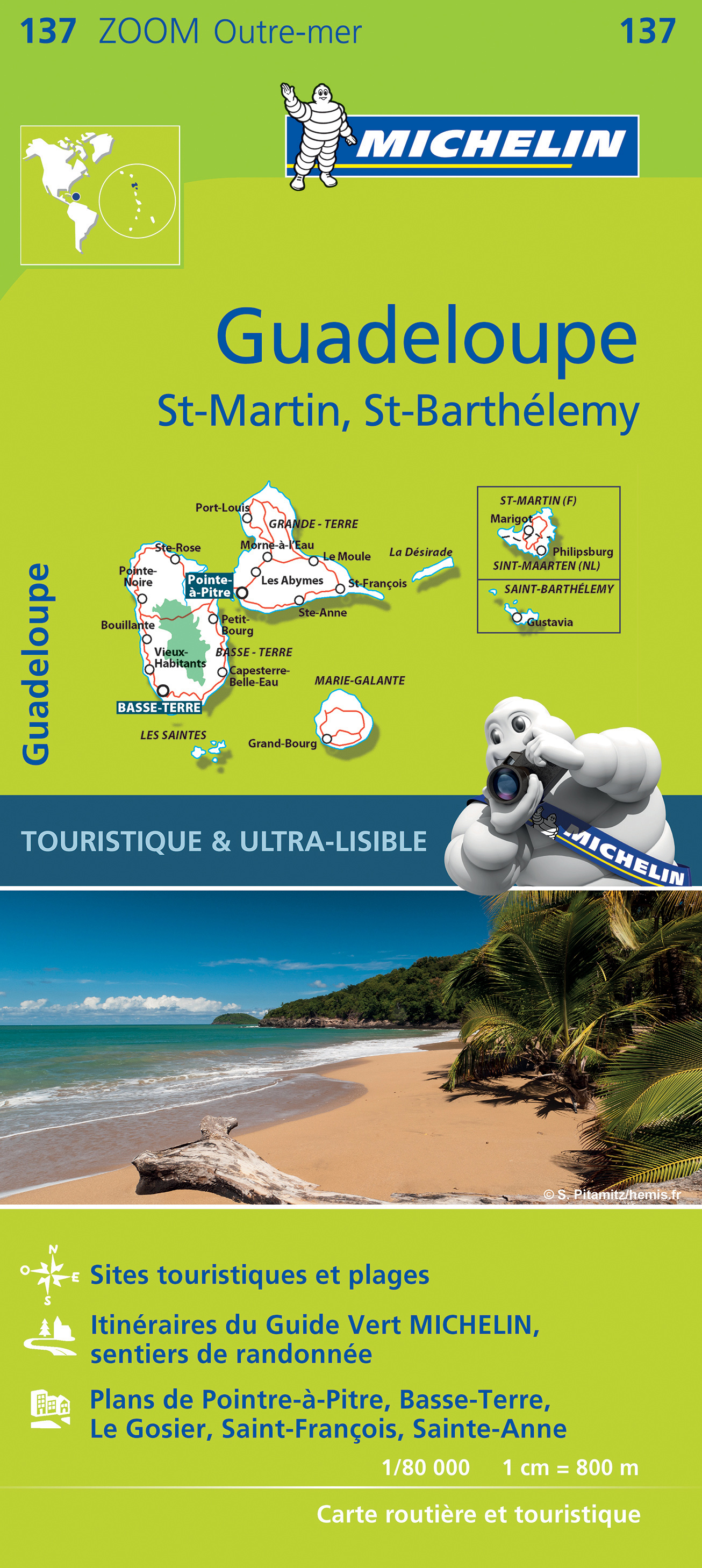
- Martinique & Guadeloupe ITMB
- Martinique and Guadeloupe with Saint-Barthélemy and Saint Martin at 1:65,000 and 1:100,000 respectively on a double-sided map from ITMB presenting each island with a street plan of the town centre in its capital. On one side is Martinique at 1:65,000 a street plan of Fort-de-France at 1:10,000. On the reverse coverage of Guadeloupe at 1:100,000... Read more

Stanfords
United Kingdom
United Kingdom
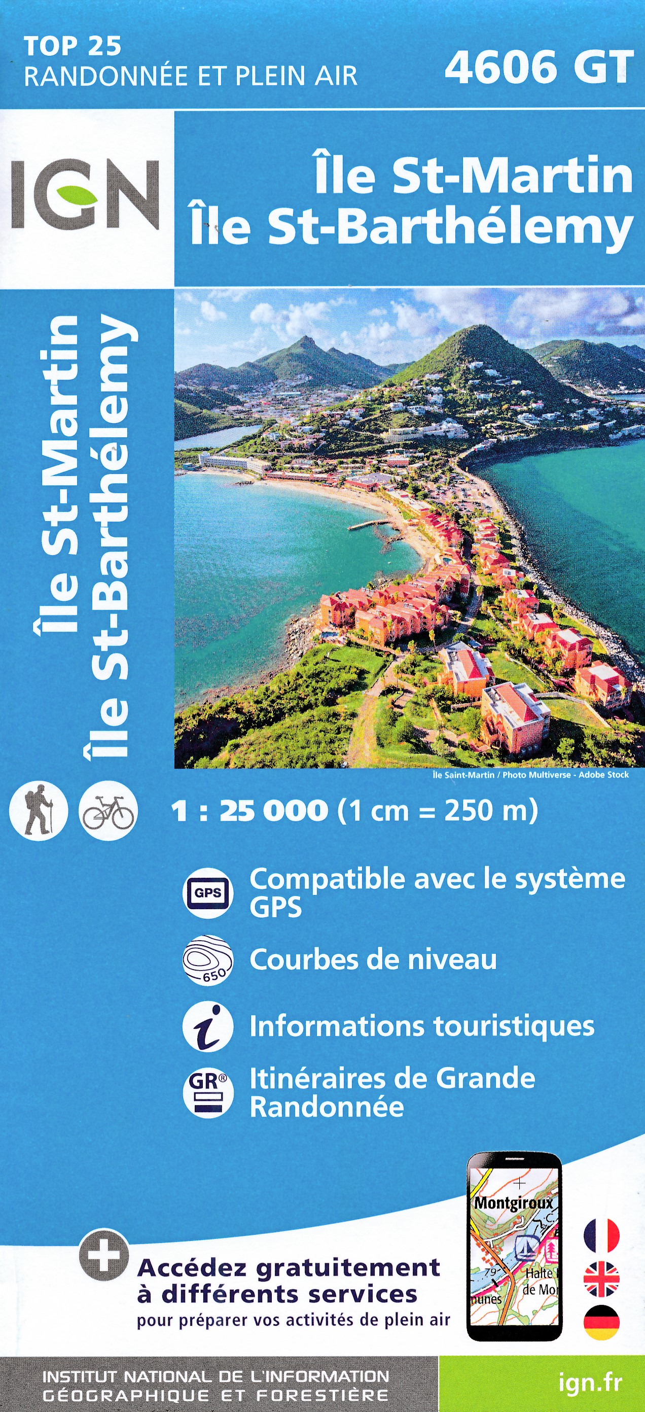
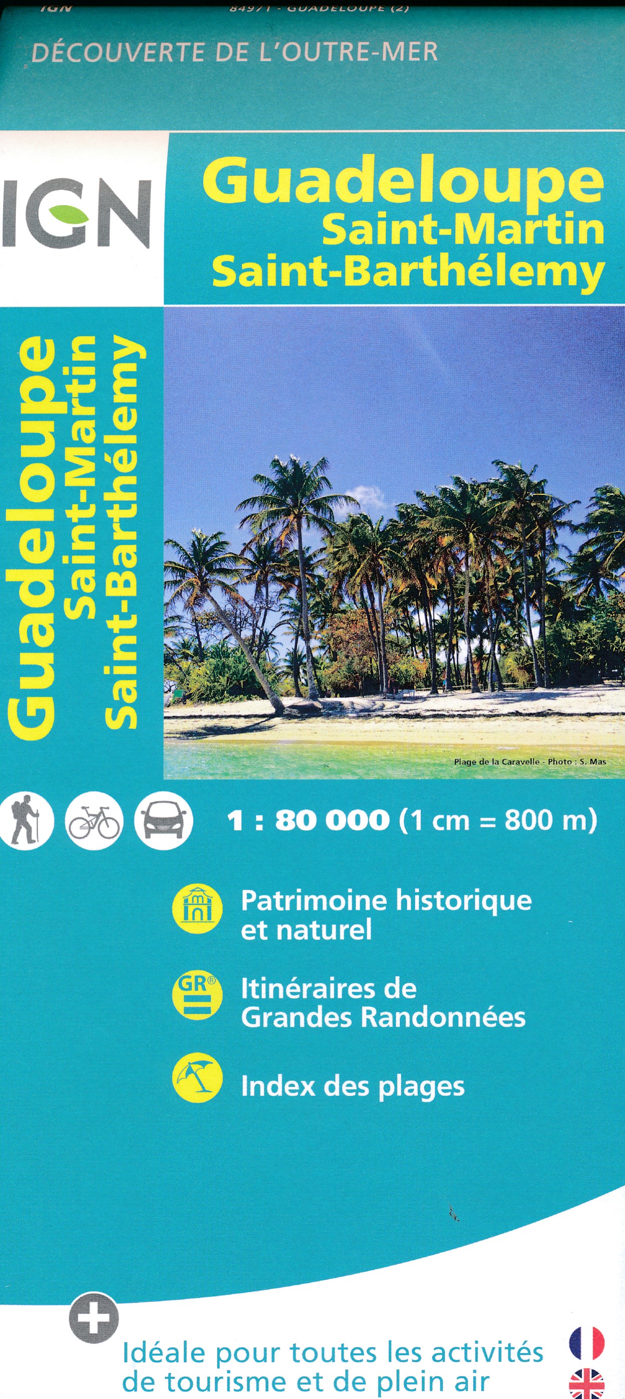
- Saint-Martin / Sint Maarten - St.Barthélemy IGN 4606GT
- The islands of St. Martin and St. Barthélemy on a detailed, GPS compatible map at 1:25,000 published by the Institut Géographique National in Paris as part of their series covering the islands belonging to the Guadeloupe administrative department.Contour interval varies according to the terrain (5m or 10m), with bold relief shading and plenty... Read more

- Also available from:
- De Zwerver, Netherlands
Stanfords
United Kingdom
United Kingdom
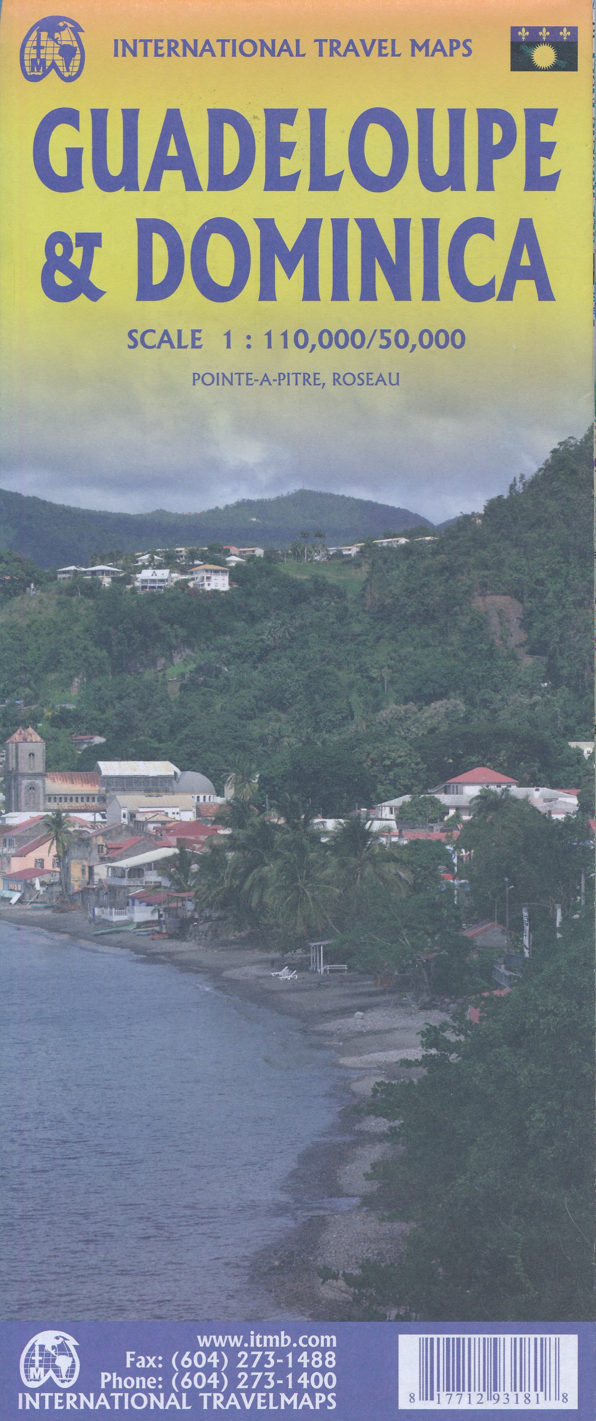
- Guadeloupe & Dominica ITMB
- The country of Guadeloupe (1:110,000) actually consists of six islands, with the main island being divided by a narrow peninsula into Basse-Terre and Grand-Terre. It is a French possession, so uses the Euro as its currency. The other touristic island is Marie-Galante, which one reaches by ferry from the capital city of Pointe-a-Pitre. There is... Read more
- Also available from:
- De Zwerver, Netherlands
De Zwerver
Netherlands
Netherlands
- Wegenkaart - landkaart Guadeloupe & Dominica | ITMB
- The country of Guadeloupe (1:110,000) actually consists of six islands, with the main island being divided by a narrow peninsula into Basse-Terre and Grand-Terre. It is a French possession, so uses the Euro as its currency. The other touristic island is Marie-Galante, which one reaches by ferry from the capital city of Pointe-a-Pitre. There is... Read more

Stanfords
United Kingdom
United Kingdom
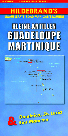
- Lesser Antilles: Guadeloupe and Martinique
- Indexed maps at various scales portraying Martinique, Dominica, St. Lucia, St. Martin, St Barthélemy and Guadeloupe (La Désirade, Les Saintes and Marie-Galante in insets). The most striking characteristic is the vivid representation of the general relief, using hill-shading. Some peak heights are marked and national parks, and reefs are shown.... Read more
- Also available from:
- De Zwerver, Netherlands
De Zwerver
Netherlands
Netherlands
- Wegenkaart - landkaart Kleine Antillen - Guadeloupe, Martinique & Dominica, St. Lucia & Sint Maarten | Hildebrand's
- Indexed maps at various scales portraying Martinique, Dominica, St. Lucia, St. Martin, St Barthélemy and Guadeloupe (La Désirade, Les Saintes and Marie-Galante in insets). The most striking characteristic is the vivid representation of the general relief, using hill-shading. Some peak heights are marked and national parks, and reefs are shown.... Read more