
Hong Kong
Description

Hong Kong was a British colony for many years. No surprise, hiking trails have been established here over the decades. And the Hong Kong citizens themselves do enjoy walking, so the tradition lives on. Good news for us!
If your image of Hong Kong is one of skyscrapers only, you're biased. The fact is that, among the densely populated financial centers of Asia, Hong Kong stands out in nature. Main asset of Hong Kong, from our point of view of course, are the Country Parks. These safe havens for nature were established in the seventies by Murray MacLehose, the governor who fought corruption and obstructed democracy. Four main trails, and more smaller trails, explore these Country Parks.
You are never faraway from the large population areas, and still, nature will present itself from the wild side: “hills” up till 1000 meter, beautiful coast line with sea inlets and quiet beaches, forests and shrub lands. Attractive also are the exotic small villages (yes, not far from towering skyscrapers) where you often can find a place to sleep. Hong Kong partially consists of islands, the best known is Hong Kong Island itself, and the largest of them is Lantau.
The four main trails are the Hong Kong Trail (50 km), the MacLehose Trail (100 km), the Wilson Trail (78 km) and the Lantau Trail (70 km). Often, it is possible to divide your trail in neat portions return to your hotel and the bustling city life at night, have a good sleep, and turn back, tidy and well fed, to your last evening's trailhead by public transport. Alternatively, you might enjoy camping in the outdoor. Most villages offer some kind of overnight staying, including temples.
There are many more smaller trails, indicated on the maps. Check out Roz's website (see links section below), if you want to find out more.
Hiking is possible year round, but during the hot season - June till September - you will sweat your bones out, if not washed away already in one of those plunge sessions. Dry weather or pouring rain, do carry lots of water on your hike.
We can recommend Pete Spurrier's guide to the four main trails: “The Serious Hiker's Guide to Hong Kong”, available in the English bookshops. Maps can be purchased from the Map Publication Centers. Best are the excellent Countryside Series, showing the main trails and smaller trails. In the field, the waymarking is up to date.
So, unpack at the airport, jump on the Star Ferry, and take a break halfway your business trip. And if you liked it, pray for the survival of the Country Parks.
Trails
Links
Facts
Reports
Guides and maps
Lodging
Organisations
Tour operators
GPS
Other
Books


United Kingdom
2014
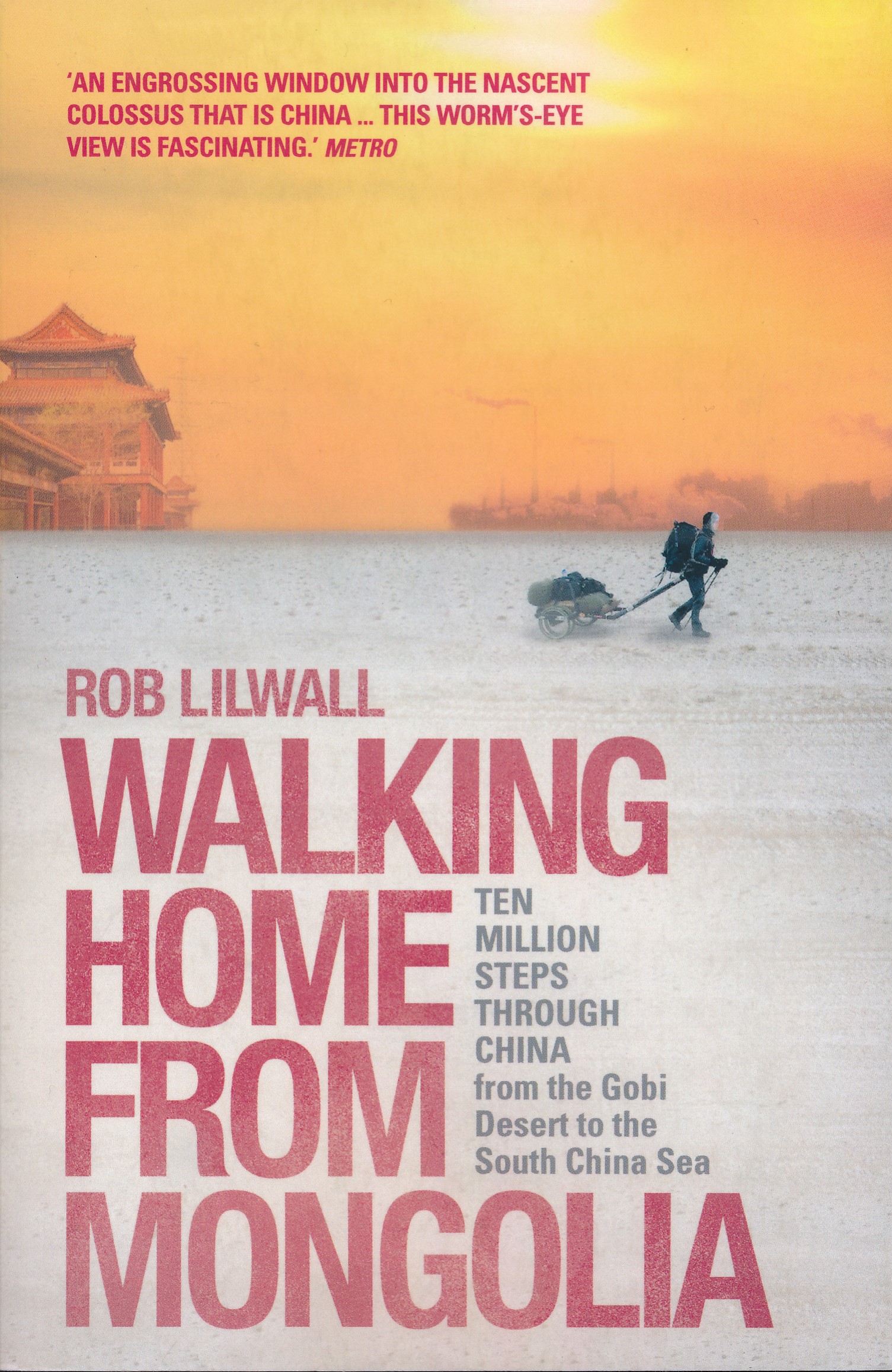
- Walking Home From Mongolia
- Ten Million Steps Through China, From the Gobi Desert to the South China Sea Read more
- Also available from:
- De Zwerver, Netherlands
Netherlands
2014
- Reisverhaal Walking Home From Mongolia | Hodder & Stoughton
- Ten Million Steps Through China, from the Gobi Desert to the South China Sea Read more

United Kingdom
2022
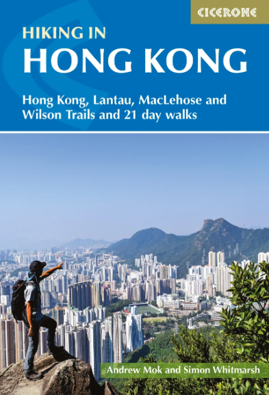
- Hiking in Hong Kong
- Hong Kong, Lantau, MacLehose and Wilson Trails and 21 day walks Read more
- Also available from:
- De Zwerver, Netherlands
Netherlands
2022
- Wandelgids Hiking in Hong Kong | Cicerone
- Hong Kong, Lantau, MacLehose and Wilson Trails and 21 day walks Read more

Netherlands
- The Mental Preparation of Fencers and Others
- Here is an extraordinary book that every serious fencer needs to read over and over, because each reading will bring new insights. It delivers what it promises - a path toward preparation for competition and ultimately for life itself. Dr. Kogler combines the best of a wide variety of disciplines ancient and modern. His insights range back... Read more
- Also available from:
- Bol.com, Belgium
Belgium
- The Mental Preparation of Fencers and Others
- Here is an extraordinary book that every serious fencer needs to read over and over, because each reading will bring new insights. It delivers what it promises - a path toward preparation for competition and ultimately for life itself. Dr. Kogler combines the best of a wide variety of disciplines ancient and modern. His insights range back... Read more
Netherlands
- Die Ich-Identitat Chinesischer Frauen Seit Der Reformperiode in Partnerschaft, Liebe Und Sexualitat
- Magisterarbeit aus dem Jahr 2012 im Fachbereich Orientalistik / Sinologie - Chinesisch / China, Note: 1,7, Johann Wolfgang Goethe-Universitat Frankfurt am Main (Institut fur Orientalische und Ostasiatische Philologien), Sprache: Deutsch, Abstract: Die Volksrepublik China befindet sich seit 1978 in einem tiefgreifenden Modernisierungs- und... Read more
- Also available from:
- Bol.com, Belgium
Belgium
- Die Ich-Identitat Chinesischer Frauen Seit Der Reformperiode in Partnerschaft, Liebe Und Sexualitat
- Magisterarbeit aus dem Jahr 2012 im Fachbereich Orientalistik / Sinologie - Chinesisch / China, Note: 1,7, Johann Wolfgang Goethe-Universitat Frankfurt am Main (Institut fur Orientalische und Ostasiatische Philologien), Sprache: Deutsch, Abstract: Die Volksrepublik China befindet sich seit 1978 in einem tiefgreifenden Modernisierungs- und... Read more
Netherlands
- Out Of Steppe
- Central Asia is the general name for the landmass between Iran, China, Siberia and Afghanistan. An area of enormous diversity both geographically and ethnically, it has been shaped by trade and commerce (the Silk Road) and by many invaders, including Alexander the Great, Genghis Khan and Stalin. Today the area is divided into five 'stans:... Read more
- Also available from:
- Bol.com, Belgium
Belgium
- Out Of Steppe
- Central Asia is the general name for the landmass between Iran, China, Siberia and Afghanistan. An area of enormous diversity both geographically and ethnically, it has been shaped by trade and commerce (the Silk Road) and by many invaders, including Alexander the Great, Genghis Khan and Stalin. Today the area is divided into five 'stans:... Read more
Netherlands
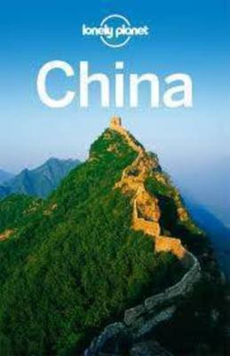
- Lonely Planet China
- "Antique yet up-to-the-minute, familiar yet unrecognizable, outwardly urban but quintessentially rural, conservative yet path-breaking.. China is a land of mesmerizing and eye-opening contradictions." - Damian Harper, Lonely Planet Writer- 11 intrepid authors- 198 maps- 76 temples & monasteries- 100s of noodle spots- Inspirational photos-... Read more
- Also available from:
- Bol.com, Belgium
Belgium
- Lonely Planet China
- "Antique yet up-to-the-minute, familiar yet unrecognizable, outwardly urban but quintessentially rural, conservative yet path-breaking.. China is a land of mesmerizing and eye-opening contradictions." - Damian Harper, Lonely Planet Writer- 11 intrepid authors- 198 maps- 76 temples & monasteries- 100s of noodle spots- Inspirational photos-... Read more
Netherlands
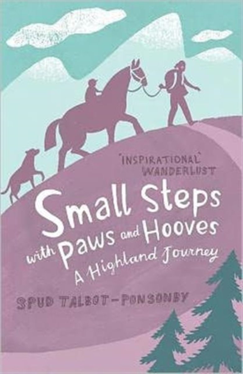
- Small Steps With Paws and Hooves
- ''The clouds disappeared and gave us a clear day. No more excuses. No more newspapers, radio, beds, hot water, china mugs…''Meet Barnie, 11 months old, dangerously learning to walk… Tess the dog, who likes rolling in smelly things… Ben the cart horse, who barely fits through a stile… Spud, a young mother recovering from cancer treatment, who... Read more
- Also available from:
- Bol.com, Belgium
Belgium
- Small Steps With Paws and Hooves
- ''The clouds disappeared and gave us a clear day. No more excuses. No more newspapers, radio, beds, hot water, china mugs…''Meet Barnie, 11 months old, dangerously learning to walk… Tess the dog, who likes rolling in smelly things… Ben the cart horse, who barely fits through a stile… Spud, a young mother recovering from cancer treatment, who... Read more
Netherlands
2000
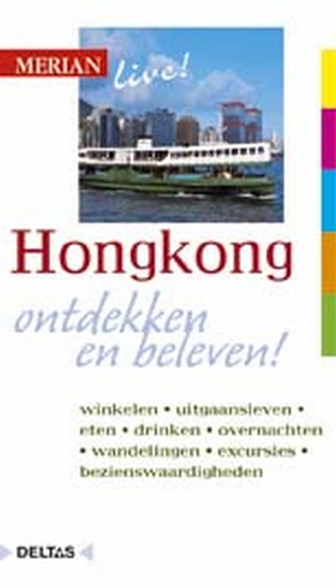
- Merian live! 12 - Hongkong
- Hongkong werd door koningin Victoria's minister van buitenlandse zaken afgedaan als 'kaal eiland'. Tegenwoordig is deze wereldstad de ontmoetingsplaats van oost en west. Hongkong leeft van haar haven, die zowel de sfeer als de economie bepaalt. Niet alleen Hongkong, maar heel Zuid-China wordt door deze haven verbonden met - en om historische... Read more
- Also available from:
- Bol.com, Belgium
Belgium
2000
- Merian live! 12 - Hongkong
- Hongkong werd door koningin Victoria's minister van buitenlandse zaken afgedaan als 'kaal eiland'. Tegenwoordig is deze wereldstad de ontmoetingsplaats van oost en west. Hongkong leeft van haar haven, die zowel de sfeer als de economie bepaalt. Niet alleen Hongkong, maar heel Zuid-China wordt door deze haven verbonden met - en om historische... Read more
Netherlands
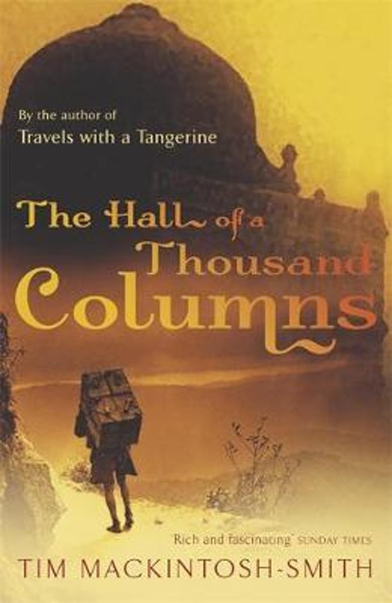
- Hall of a Thousand Columns
- All the best armchair travellers are sceptics. Those of the fourteenth century were no exception: for them, there were lies, damned lies, and Ibn Battutah's India. Born in 1304, Ibn Battutah left his native Tangier as a young scholar of law; over the course of the thirty years that followed he visited most of the known world between Morocco and... Read more
- Also available from:
- Bol.com, Belgium
Belgium
- Hall of a Thousand Columns
- All the best armchair travellers are sceptics. Those of the fourteenth century were no exception: for them, there were lies, damned lies, and Ibn Battutah's India. Born in 1304, Ibn Battutah left his native Tangier as a young scholar of law; over the course of the thirty years that followed he visited most of the known world between Morocco and... Read more
Netherlands
2012
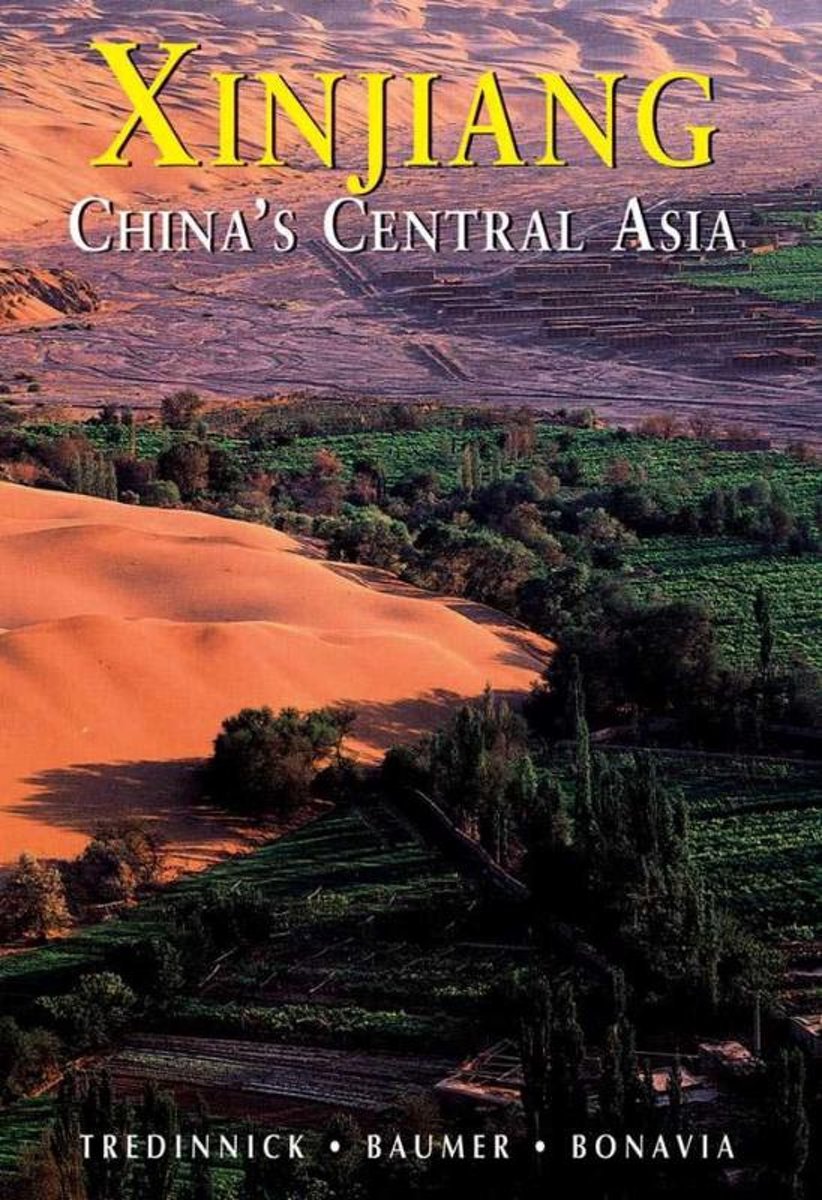
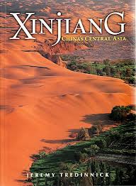
- Xinjiang
- The enormous area now known as China's Xinjiang Province came to prominence with the rise of the Silk Road two millennia ago. For centuries its nomadic peoples and city-states were subject to both religious and economic influences from India, Greece, Persia and of course China, resulting in a land rich with archaeological and cultural... Read more
- Also available from:
- Bol.com, Belgium
- De Zwerver, Netherlands
Belgium
2012
- Xinjiang
- The enormous area now known as China's Xinjiang Province came to prominence with the rise of the Silk Road two millennia ago. For centuries its nomadic peoples and city-states were subject to both religious and economic influences from India, Greece, Persia and of course China, resulting in a land rich with archaeological and cultural... Read more
Netherlands
2012
- Reisgids Xinjiang | Odyssey
- Een rijk geïllustreerde gids over het noordwestelijke deel van China. Veel nadruk op de geschiedenis en bezienswaardigheden, maar ook een hoofdstuk over bijvoorbeeld het nut van paarden in die omgeving of het raadsel van het wandelende meer. A brand-new cultural and historical guide to China's westernmost region that explores both well-traveled... Read more
Netherlands
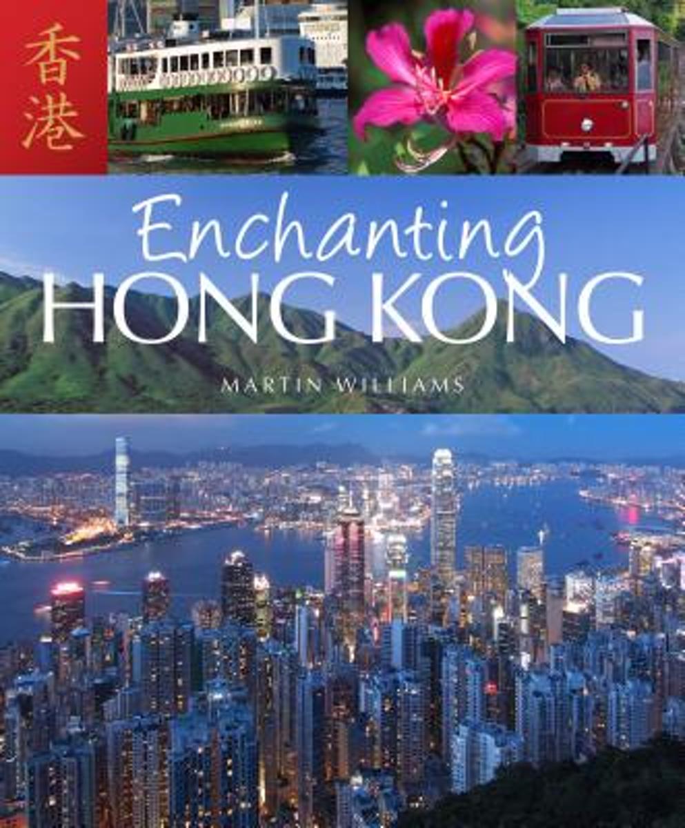
- Enchanting Hong Kong
- Hong Kong surely has few rivals worldwide for being a major city in an outstanding natural setting, surrounded by hills, islands, beaches, waterfalls, wildlife and South China village traditions. Enchanting Hong Kong reveals this multi-faceted destination for a broad spectrum of visitors ranging from those making a short business trip but with... Read more
- Also available from:
- Bol.com, Belgium
Belgium
- Enchanting Hong Kong
- Hong Kong surely has few rivals worldwide for being a major city in an outstanding natural setting, surrounded by hills, islands, beaches, waterfalls, wildlife and South China village traditions. Enchanting Hong Kong reveals this multi-faceted destination for a broad spectrum of visitors ranging from those making a short business trip but with... Read more
Netherlands
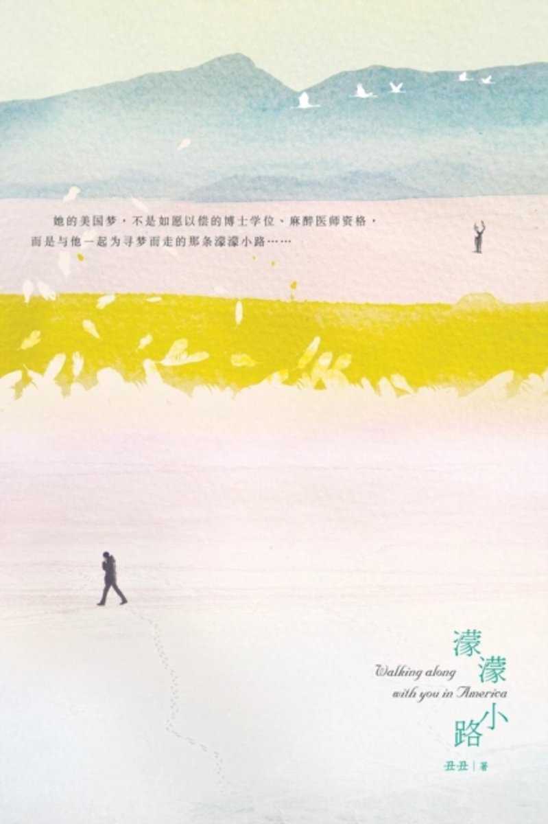
- Walking Along with You in America
- Walking along with you in America Beginning at 1980s, many Chinese young students came to the United States with different dreams and hopes. They were far away from their homes, families and friends, struggled for surviving and development in a foreign country. In China, going aboard was like a big wave in the ocean. She, Chen Shuang, a newly... Read more
- Also available from:
- Bol.com, Belgium
Belgium
- Walking Along with You in America
- Walking along with you in America Beginning at 1980s, many Chinese young students came to the United States with different dreams and hopes. They were far away from their homes, families and friends, struggled for surviving and development in a foreign country. In China, going aboard was like a big wave in the ocean. She, Chen Shuang, a newly... Read more
Netherlands
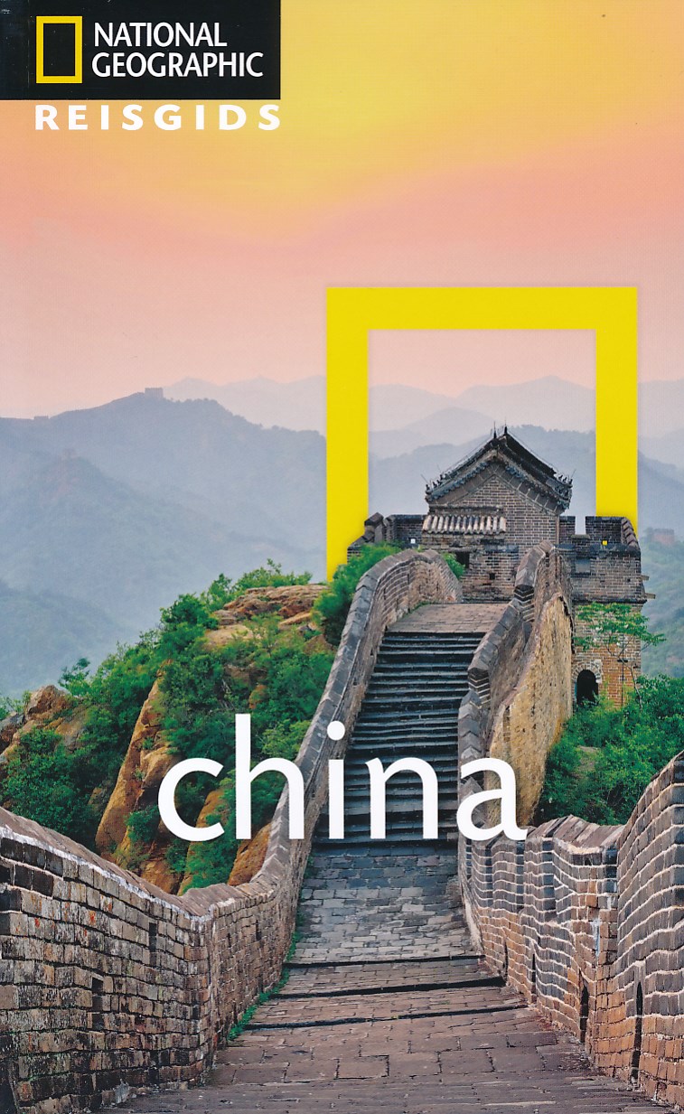
2018
- Reisgids National Geographic China | Kosmos Uitgevers
- Kleurrijke reisgids van China met veel illustraties. Goede beschrijvingen van land, volk en geschiedenis. Prettige leesgids om enthousiast te worden. National Geographic Reisgids China is een exclusieve gids met sublieme fotografie die u meeneemt naar de bekende en minder bekende bezienswaardigheden. De experts van National Geographic nemen een... Read more
Maps
United Kingdom
- Admiralty Routeing Chart 5149(12) - South China Sea - December
- Essential for use in passage planning for ocean voyages, Routeing Charts include routes and distances between major ports, ocean currents, ice limits, load lines and wind roses. They also contain expected meteorological and oceanographic conditions for each month of the year.Individual chart scales of 1:5,000,000, 1:10,000,000 and 1:20,000,000... Read more

United Kingdom
- Admiralty Routeing Chart 5150(8) - East China Sea - August
- Essential for use in passage planning for ocean voyages, Routeing Charts include routes and distances between major ports, ocean currents, ice limits, load lines and wind roses. They also contain expected meteorological and oceanographic conditions for each month of the year.Individual chart scales of 1:5,000,000, 1:10,000,000 and 1:20,000,000... Read more

United Kingdom
- Admiralty Routeing Chart 5149(4) - South China Sea - April
- Essential for use in passage planning for ocean voyages, Routeing Charts include routes and distances between major ports, ocean currents, ice limits, load lines and wind roses. They also contain expected meteorological and oceanographic conditions for each month of the year.Individual chart scales of 1:5,000,000, 1:10,000,000 and 1:20,000,000... Read more

United Kingdom
- Admiralty Routeing Chart 5150(1) - East China Sea - January
- Essential for use in passage planning for ocean voyages, Routeing Charts include routes and distances between major ports, ocean currents, ice limits, load lines and wind roses. They also contain expected meteorological and oceanographic conditions for each month of the year.Individual chart scales of 1:5,000,000, 1:10,000,000 and 1:20,000,000... Read more

United Kingdom
- Admiralty Routeing Chart 5150(9) - East China Sea - September
- Essential for use in passage planning for ocean voyages, Routeing Charts include routes and distances between major ports, ocean currents, ice limits, load lines and wind roses. They also contain expected meteorological and oceanographic conditions for each month of the year.Individual chart scales of 1:5,000,000, 1:10,000,000 and 1:20,000,000... Read more
United Kingdom
- Admiralty Routeing Chart 5149(5) - South China Sea - May
- Essential for use in passage planning for ocean voyages, Routeing Charts include routes and distances between major ports, ocean currents, ice limits, load lines and wind roses. They also contain expected meteorological and oceanographic conditions for each month of the year.Individual chart scales of 1:5,000,000, 1:10,000,000 and 1:20,000,000... Read more

United Kingdom
- Admiralty Routeing Chart 5150(2) - East China Sea - February
- Essential for use in passage planning for ocean voyages, Routeing Charts include routes and distances between major ports, ocean currents, ice limits, load lines and wind roses. They also contain expected meteorological and oceanographic conditions for each month of the year.Individual chart scales of 1:5,000,000, 1:10,000,000 and 1:20,000,000... Read more

United Kingdom
- Admiralty Routeing Chart 5150(10) - East China Sea - October
- Essential for use in passage planning for ocean voyages, Routeing Charts include routes and distances between major ports, ocean currents, ice limits, load lines and wind roses. They also contain expected meteorological and oceanographic conditions for each month of the year.Individual chart scales of 1:5,000,000, 1:10,000,000 and 1:20,000,000... Read more

United Kingdom
- Mount Gongga Glaciers
- Mount Gongga Glaciers on a detailed, contoured map at 1:25,000 published by the Chinese Institute of Glaciology and based on surveys carries out in early 1980s and aerial photography from December 1996. The map has contours at 20m intervals, enhanced by shading, plus graphics and/or colouring for exposed rock, scree, moraine, crevasses,... Read more

United Kingdom
- Admiralty Routeing Chart 5149(6) - South China Sea - June
- Essential for use in passage planning for ocean voyages, Routeing Charts include routes and distances between major ports, ocean currents, ice limits, load lines and wind roses. They also contain expected meteorological and oceanographic conditions for each month of the year.Individual chart scales of 1:5,000,000, 1:10,000,000 and 1:20,000,000... Read more

United Kingdom
- Admiralty Routeing Chart 5150(3) - East China Sea - March
- Essential for use in passage planning for ocean voyages, Routeing Charts include routes and distances between major ports, ocean currents, ice limits, load lines and wind roses. They also contain expected meteorological and oceanographic conditions for each month of the year.Individual chart scales of 1:5,000,000, 1:10,000,000 and 1:20,000,000... Read more

United Kingdom
- Admiralty Routeing Chart 5150(11) - East China Sea - November
- Essential for use in passage planning for ocean voyages, Routeing Charts include routes and distances between major ports, ocean currents, ice limits, load lines and wind roses. They also contain expected meteorological and oceanographic conditions for each month of the year.Individual chart scales of 1:5,000,000, 1:10,000,000 and 1:20,000,000... Read more

United Kingdom
- China West ITMB
- Western China on a double-sided, indexed road map from ITMB at 1:3,000,000, with three insets providing a street plan of central Lhasa, a wider coverage of the city and a plan of the Norbulingka complex. The map divides the region north/south and coverage extends east to approx. 106° (Lanzhou/Chengou).The map has altitude colouring in feet,... Read more

United Kingdom
- Admiralty Routeing Chart 5149(7) - South China Sea - July
- Essential for use in passage planning for ocean voyages, Routeing Charts include routes and distances between major ports, ocean currents, ice limits, load lines and wind roses. They also contain expected meteorological and oceanographic conditions for each month of the year.Individual chart scales of 1:5,000,000, 1:10,000,000 and 1:20,000,000... Read more

United Kingdom
- Admiralty Routeing Chart 5149(8) - South China Sea - August
- Essential for use in passage planning for ocean voyages, Routeing Charts include routes and distances between major ports, ocean currents, ice limits, load lines and wind roses. They also contain expected meteorological and oceanographic conditions for each month of the year.Individual chart scales of 1:5,000,000, 1:10,000,000 and 1:20,000,000... Read more