Saint Helena
Description
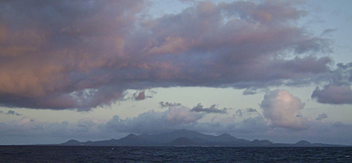
Officially British territory, the tiny windy but tropical island of Saint Helena measures no more than 16 by 8 km. It has an extremely isolated location in the South Atlantic, more than 2000 km off the Angolan coast, and can be reached by boat only....
The island is of volcanic origin, and highest point is Diana's Peak (818 m). Most impressive are the bare cliffs facing the Atlantic. The interior is more friendly with lush green rolling hills and valleys.
The island being British, it can be no surprise to find a whole network of footpaths on Saint Helena. There are numerous so-called 'postbox walks' set out, complete with booklets and boxes with stamps to collect on the way. The walks range in difficulty from easy to arduous. Popular are Clifford Arboretum and Sandy Bay, and of course the Jacob's Ladder (699 steps!) leading out of Jamestown.
Two other remote islands in the Atlantic, also British territory, are Ascension Island and Tristan da Cunha. They are dependencies of Saint Helena. Ascension is more than 1200 km northwest of St. Helena. Tristan da Cunha is almost 2500 km south of St. Helena, and is in fact a small achipelago in itself, consisting of the main island Tristan da Cunha, and the uninhabited Nightingale Islands, and the wildlife reserves of Inaccessible Island (what's in a name...) and Gough Island. More info on Ascension and Tristan da Cunha under Regions of Saint Helena.


