Stanfords
United Kingdom
Stanfords
United Kingdom
Stanfords
United Kingdom
Stanfords
United Kingdom
Stanfords
United Kingdom
Stanfords
United Kingdom
Stanfords
United Kingdom
» Click to open
The Book Depository
United Kingdom
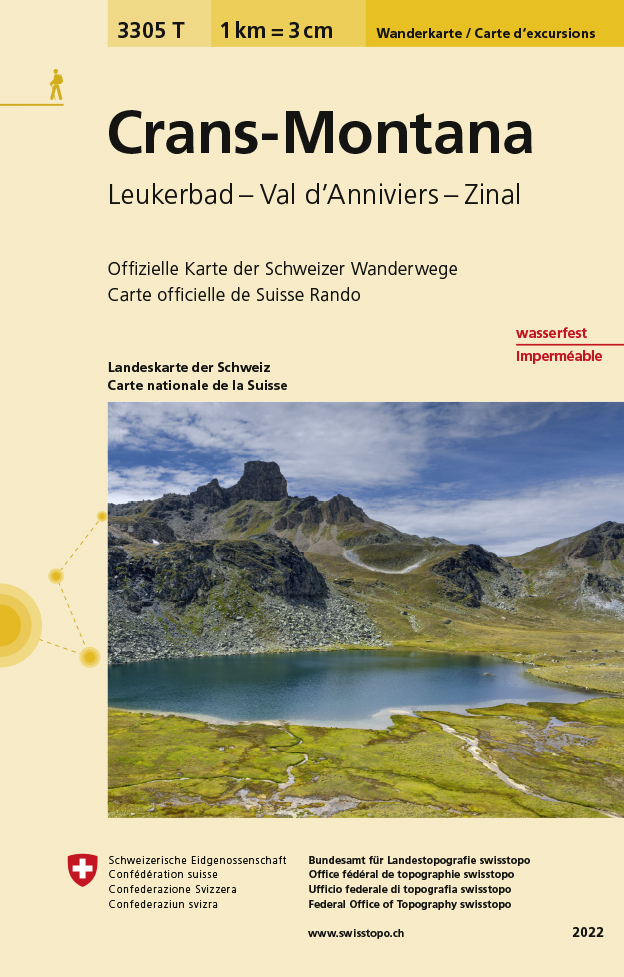
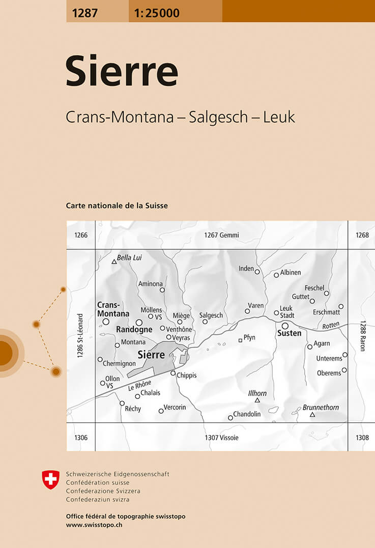
  • Craens - Montana
  • Een nieuwe serie van de Zwitserse topografische dienst: eindelijk goede wandelkaarten met ingetekende wandelroutes op scheur- en watervast papier. Vooralsnog zijn ze uitgebracht van de populaire wandelgebieden en niet landelijk dekkend (zie overzicht) Op een gedetailleerde schaal van 1:33.333 met als ondergrond de onovertroffen topografische... Read more
De Zwerver
Netherlands
  • Wandelkaart - Topografische kaart 3305T Crans-Montana | Swisstopo
  • Een nieuwe serie van de Zwitserse topografische dienst: eindelijk goede wandelkaarten met ingetekende wandelroutes op scheur- en watervast papier. Vooralsnog zijn ze uitgebracht van de populaire wandelgebieden en niet landelijk dekkend (zie overzicht) Op een gedetailleerde schaal van 1:33.333 met als ondergrond de onovertroffen topografische... Read more
» Click to close
Stanfords
United Kingdom
» Click to open
The Book Depository
United Kingdom
De Zwerver
Netherlands
» Click to close
Stanfords
United Kingdom
» Click to open
The Book Depository
United Kingdom
De Zwerver
Netherlands
» Click to close
Bol.com
Netherlands
» Click to open
Bol.com
Belgium
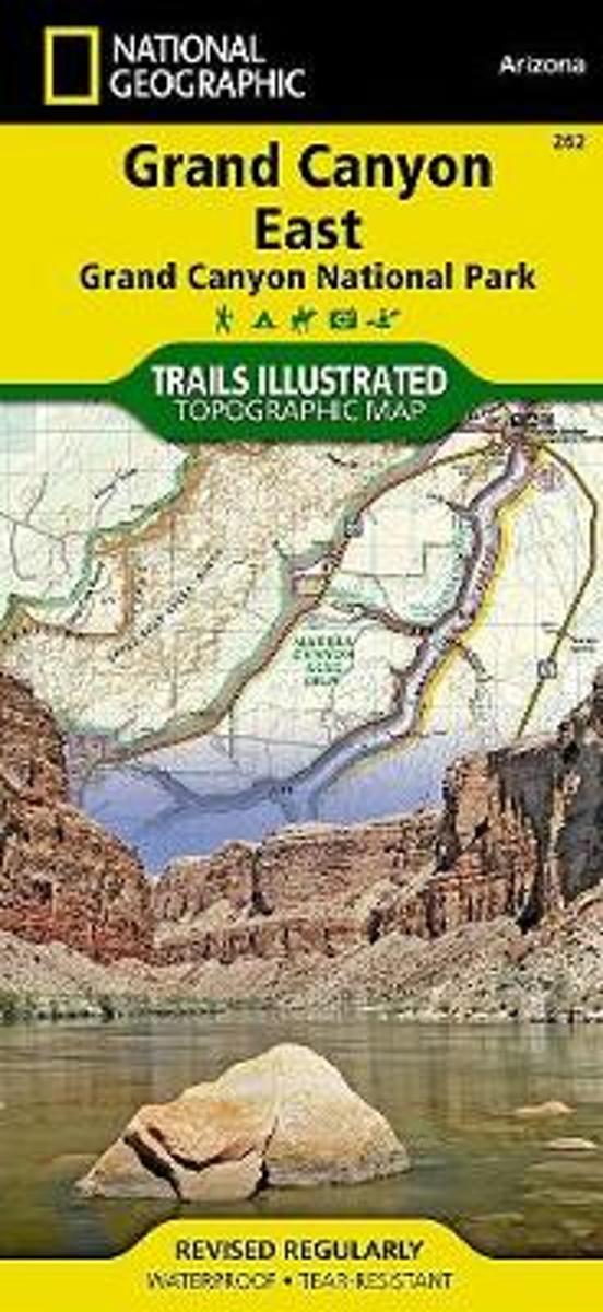
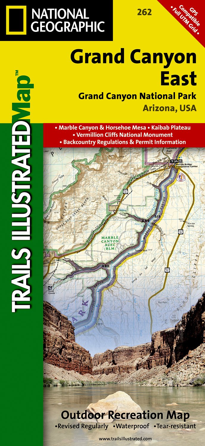
  • Grand Canyon East
  • Waterproof Tear-Resistant Topographic MapGrand Canyon East (#262) and Grand Canyon West (#263) combine to cover the entire Grand Canyon National Park and its bordering public lands. Both maps contain detailed and easy-to-read trail and road networks, locations of facilities, points of interest, and highly accurate terrain with thousands... Read more
De Zwerver
Netherlands
  • Wandelkaart 262 Grand Canyon East - Oost | National Geographic
  • Prachtige geplastificeerde kaart van het nationaal park. Met alle recreatieve voorzieningen als campsites, maar ook met topografische details en wandelroutes ed. Door uitgekiend kleurgebruik zeer prettig in gebruik. Scheur en watervast! Grand Canyon East (#262) and Grand Canyon West (#263) combine to cover the entire Grand Canyon National Park... Read more
» Click to close
Stanfords
United Kingdom
» Click to open
De Zwerver
Netherlands
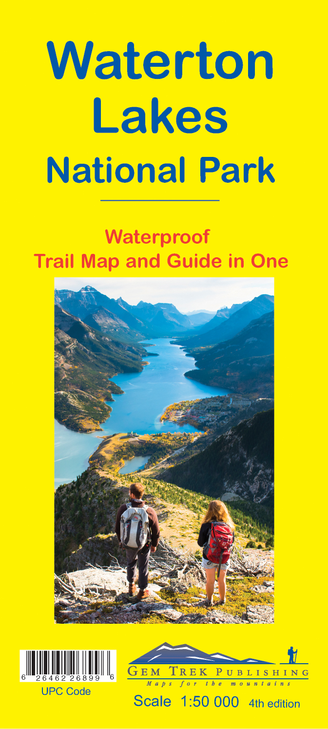
  • Wandelkaart 16 Waterton Lakes NP | Gem Trek Maps
  • The Waterton Lakes National Park map is one of our most popular trail map-guides for the Canadian Rockies. This map covers all of Waterton Lakes National Park, the eastern end of Akamina-Kishinena Provincial Park, and the Goat Haunt or northern area of Glacier National Park, Montana, at the south end of Upper Waterton Lake. The front of the map... Read more
» Click to close
Stanfords
United Kingdom
» Click to open
The Book Depository
United Kingdom
Bol.com
Netherlands
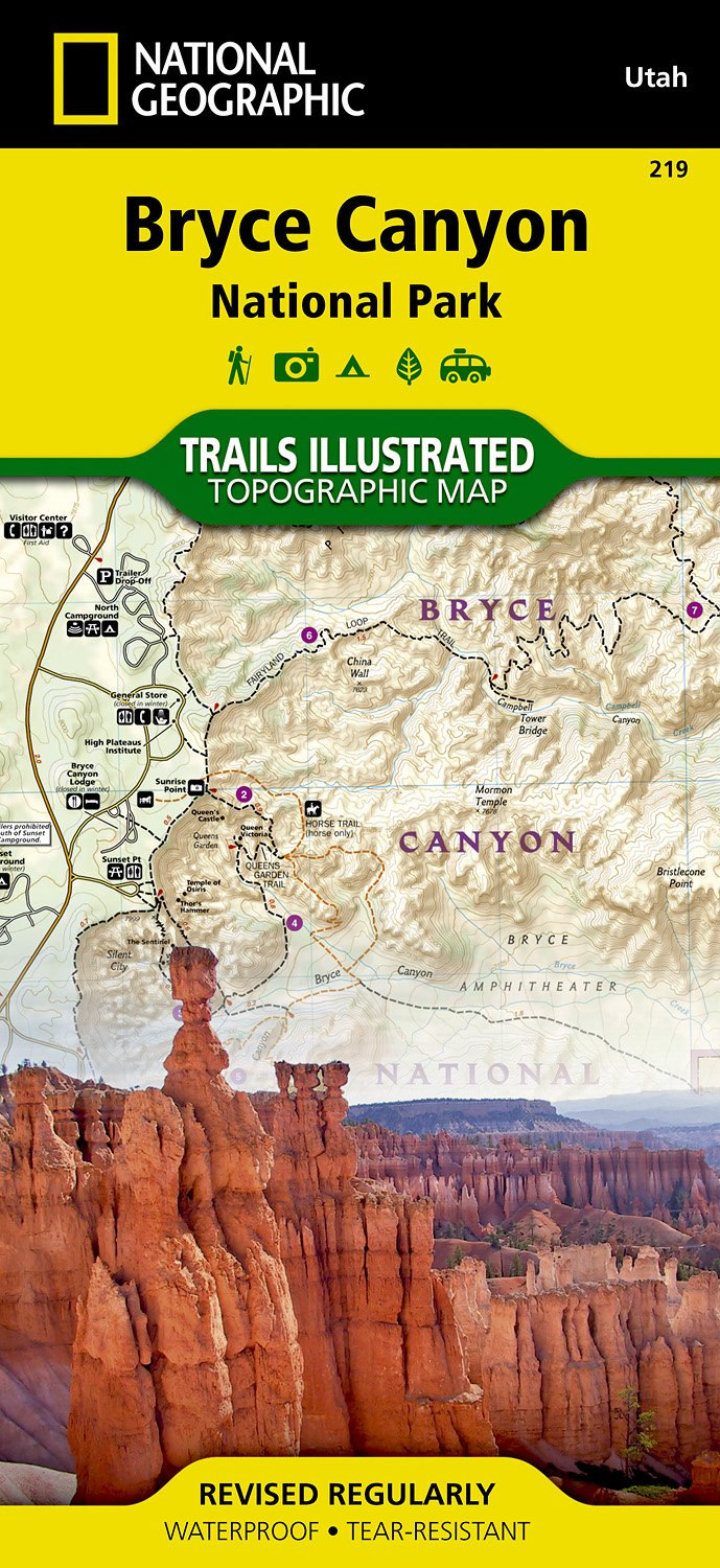
  • Bryce Canyon National Park
  • • Waterproof • Tear-Resistant • Topographic MapNational Geographic's Trails Illustrated map of Bryce Canyon National Park is designed to meet the needs of outdoor enthusiasts by combining valuable information with unmatched detail of this unique landscape of hoodoos and forest. Created in partnership with local land management agencies, this... Read more
Bol.com
Belgium
  • Bryce Canyon National Park
  • • Waterproof • Tear-Resistant • Topographic MapNational Geographic's Trails Illustrated map of Bryce Canyon National Park is designed to meet the needs of outdoor enthusiasts by combining valuable information with unmatched detail of this unique landscape of hoodoos and forest. Created in partnership with local land management agencies, this... Read more
De Zwerver
Netherlands
» Click to close
De Zwerver
Netherlands
Stanfords
United Kingdom
» Click to open
Bol.com
Netherlands
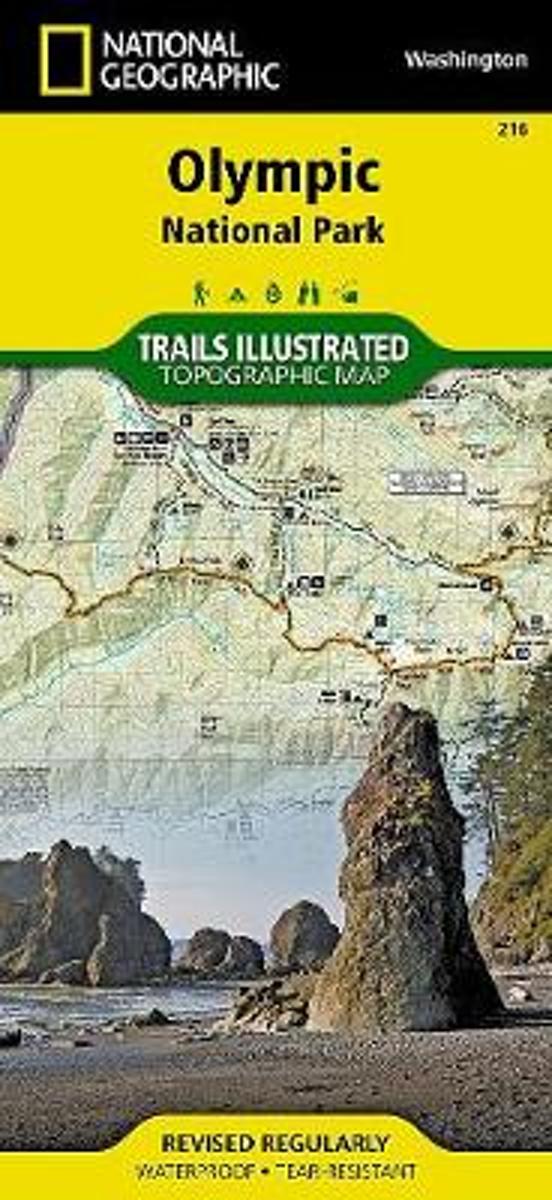
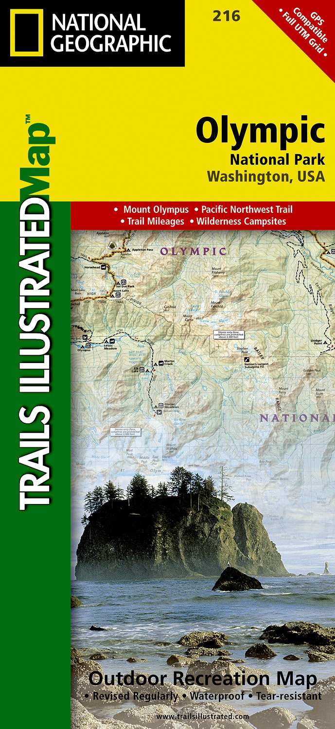
  • Olympic National Park
  • • Waterproof • Tear-Resistant • Topographic MapOlympic National Park encompasses four distinctly different ecosystems in its nearly one million acres. National Geographic's Trails Illustrated map of Olympic National Park offers outdoors enthusiasts a valuable tool for exploring the park's old-growth forests, glaciers, untamed rivers, and rugged... Read more
Bol.com
Belgium
  • Olympic National Park
  • • Waterproof • Tear-Resistant • Topographic MapOlympic National Park encompasses four distinctly different ecosystems in its nearly one million acres. National Geographic's Trails Illustrated map of Olympic National Park offers outdoors enthusiasts a valuable tool for exploring the park's old-growth forests, glaciers, untamed rivers, and rugged... Read more
De Zwerver
Netherlands
  • Wandelkaart 216 Olympic National Park | National Geographic
  • Prachtige geplastificeerde kaart van het bekende nationaal park. Met alle recreatieve voorzieningen als campsites, maar ook met topografische details en wandelroutes ed. Door uitgekiend kleurgebruik zeer prettig in gebruik. Scheur en watervast! Within the park, there is detailed coverage of Mount Olympus, Tshletshy Ridge, Hurrican Ridge,... Read more
» Click to close
Stanfords
United Kingdom
» Click to open
De Zwerver
Netherlands
» Click to close