
Stanfords
United Kingdom
- Eupen Mini-Ardenne
- Ardennes Recreational Maps at a scale of 1:25,000 enable you to discover the Ardennes from junction to junction, each associated with a locality, through a network of hiking, cycling or riding paths. The network of mini walks consists of suggested routes with kilometre distance marked showing field boundaries and urbanised built up areas.... Read more

Stanfords
United Kingdom
- Mullerthal Hike & Bike Map
- This new series of hiking / riding maps of regions in the Ardennes, Flanders and various regions in the countries around Belgium are characterized by a clear use of colour and ease of use. With miles of signed small and large loop-shaped walks. - relief and contour lines with an interval of 5 meters - multitude of interesting locations... Read more

Stanfords
United Kingdom
- Autour du Thabor: Modane - Bardonecchia - Briançon
- Mont Thabor area at 1:50,000 on a contoured and GPS compatible map from Editions Didier Richard in their series of walking maps of French Alps and other popular hiking regions of south-eastern France. Coverage extends from Modane in the north to Briançon in the south-east, and west to Valloire.The base map with cartography from the IGN has... Read more

Stanfords
United Kingdom
- Knokke-Heist NGI Topo 4-5
- Topographical survey of Belgium at 1:50,000 from the country’s national survey organization, Nationaal Geografisch Instituut / Institut Géographique National. Contour interval varies according to the terrain, from 2.5 metres in the coastal areas to 10 metres in the Ardennes. The maps provide all the information expected of topographic mapping... Read more

Stanfords
United Kingdom
- Limerlé NGI Topographic Map 61
- Topographical survey of Belgium at 1:50,000 from the country’s national survey organization, Nationaal Geografisch Instituut / Institut Géographique National. Contour interval varies according to the terrain, from 2.5 metres in the coastal areas to 10 metres in the Ardennes. The maps provide all the information expected of topographic mapping... Read more
Stanfords
United Kingdom
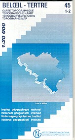
- Beloeil - Boudour
- Topographical survey of Belgium at 1:20,000 from Nationaal Geografisch Instituut / Institut Géographique National, the country’s national survey organization. Each 20K map covers one quarter of the corresponding 1:50,000 map (with adjustments in the border and coastal areas). The maps provide all the information expected of topographic mapping... Read more

Stanfords
United Kingdom
- Tielt NGI Topo 21
- Topographical survey of Belgium at 1:50,000 from the country’s national survey organization, Nationaal Geografisch Instituut / Institut Géographique National. Contour interval varies according to the terrain, from 2.5 metres in the coastal areas to 10 metres in the Ardennes. The maps provide all the information expected of topographic mapping... Read more
Stanfords
United Kingdom
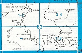
- Vresse-sur-Semois
- Topographical survey of Belgium at 1:20,000 from Nationaal Geografisch Instituut / Institut Géographique National, the country’s national survey organization. Each 20K map covers one quarter of the corresponding 1:50,000 map (with adjustments in the border and coastal areas). The maps provide all the information expected of topographic mapping... Read more
Stanfords
United Kingdom
- Modave - Clavier
- Topographical survey of Belgium at 1:20,000 from Nationaal Geografisch Instituut / Institut Géographique National, the country’s national survey organization. Each 20K map covers one quarter of the corresponding 1:50,000 map (with adjustments in the border and coastal areas). The maps provide all the information expected of topographic mapping... Read more
Stanfords
United Kingdom
- Quievrain - Boussu
- Topographical survey of Belgium at 1:20,000 from Nationaal Geografisch Instituut / Institut Géographique National, the country’s national survey organization. Each 20K map covers one quarter of the corresponding 1:50,000 map (with adjustments in the border and coastal areas). The maps provide all the information expected of topographic mapping... Read more

Stanfords
United Kingdom
- Anthisnes - Comblain-au-Pont
- Topographical survey of Belgium at 1:20,000 from Nationaal Geografisch Instituut / Institut Géographique National, the country’s national survey organization. Each 20K map covers one quarter of the corresponding 1:50,000 map (with adjustments in the border and coastal areas). The maps provide all the information expected of topographic mapping... Read more

Stanfords
United Kingdom
- Alsace - Mulhouse - Basel - Altkirch K+F Outdoor Map 2
- The southern part of Alsace around Mulhouse and Guebwiller on a GPS compatible, double-sided map at 1:50,000 from Kümmerly+Frey printed on sturdy, waterproof and tear-resistant synthetic paper; contoured, with hiking and cycling routes, sites for other recreational activities, various accommodation options, restaurants and ferme-auberge... Read more

Stanfords
United Kingdom
- Fen Rail (Vennbahn) Cycle Route
- The High Fens (Vennbahn) Cycle Route, a 230-km long cycle trail from Aachen across the Hoge Venen / Hautes Fagnes Natural Park in eastern Belgium and Luxembourg to Luxembourg City, presented by the Verlag Esterbauer in guide with maps at 1:50,000 showing the route and its variants. Extensive information is conveyed by symbols, indicating road... Read more

Stanfords
United Kingdom
Stanfords
United Kingdom
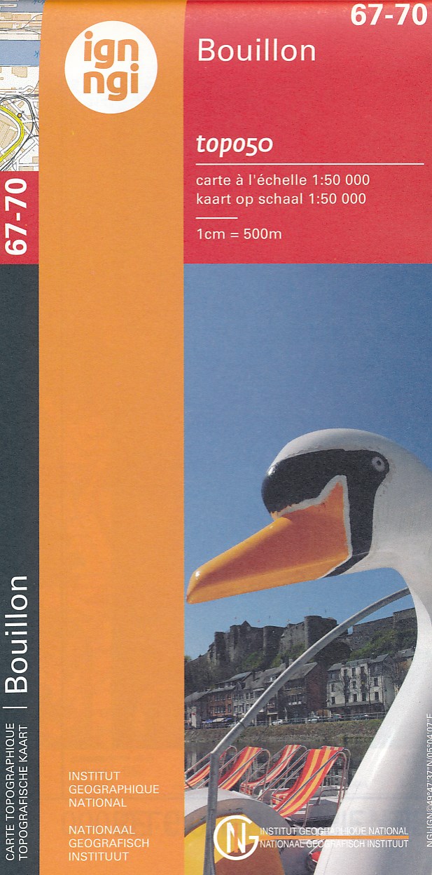
- Bouillon NGI Topo 67-70
- Topographical survey of Belgium at 1:50,000 from the country’s national survey organization, Nationaal Geografisch Instituut / Institut Géographique National. Contour interval varies according to the terrain, from 2.5 metres in the coastal areas to 10 metres in the Ardennes. The maps provide all the information expected of topographic mapping... Read more