Laminated and waterproof map for visitors to Los Angeles, combining a selection of street plans and a road map to cover the LA conurbation as a whole plus its most visited parts in greater detail. An overview street plan of the city at 1:60,000 extends from Santa Monica and the International Airport inland to Pasadena and San Gabriel, naming...Read more
The world at 1:40,850,000 presented with Pacific Ocean in the centre on a double-sided folded map from the Australian publishers Hema; political version on one side and a physical map on the reverse. Each side shows the land masses against the background of light blue oceans with bathymetric tints to reflect the depth of the ocean floor. Polar...Read more
Map No. 250, Cape Cod National Seashore, MA, in an extensive series of GPS compatible, contoured hiking maps of USA’s national and state parks or forests and other popular recreational areas. Cartography based on the national topographic survey, with additional tourist information.The maps, with most titles now printed on light, waterproof and...Read more
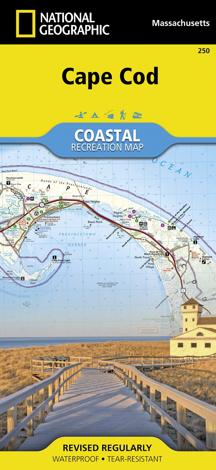
Waterproof Tear-Resistant Topographic MapNational Geographic's Cape Cod Coastal Recreation map is the ideal companion for adventures along shore and on the water.National Geographic's new family of Coastal Recreation maps are two-sided, waterproof maps designed specifically for recreation along America's most beautiful shorelines. These...Read more
Waterproof Tear-Resistant Topographic MapNational Geographic's Cape Cod Coastal Recreation map is the ideal companion for adventures along shore and on the water.National Geographic's new family of Coastal Recreation maps are two-sided, waterproof maps designed specifically for recreation along America's most beautiful shorelines. These...Read more
Prachtige geplastificeerde topografische wandel- en vaarkaart van het Cape Cod kustgebied. Met alle recreatieve voorzieningen als campsites, stranden, en watersport maar ook met topografische details en wandelroutes ed. Door uitgekiend kleurgebruik zeer prettig in gebruik. Scheur en watervast! National Geographic's Cape Cod Coastal...Read more
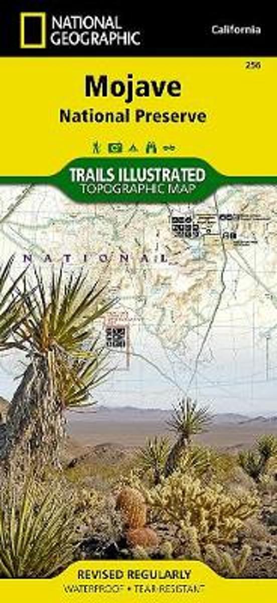
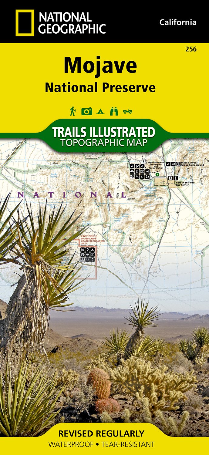
Map No. 256, Mojave National Preserve, CA, in an extensive series of GPS compatible, contoured hiking maps of USA’s national and state parks or forests and other popular recreational areas. Cartography based on the national topographic survey, with additional tourist information.The maps, with most titles now printed on light, waterproof and...Read more
Trails are classified by use - hiking, horse and hike, mountain bike, shared use, or motorized - and includes a trail chart showing trail name, location, and allowed use.Read more
Trails are classified by use - hiking, horse and hike, mountain bike, shared use, or motorized - and includes a trail chart showing trail name, location, and allowed use.Read more
Prachtige geplastificeerde kaart van het nationaal park. Met alle recreatieve voorzieningen als campsites, maar ook met topografische details en wandelroutes ed. Door uitgekiend kleurgebruik zeer prettig in gebruik. Scheur en watervast! This beautiful waterproof and tear-resistant map of the Mojave National Preserve is useful for all types of...Read more
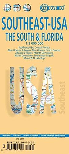
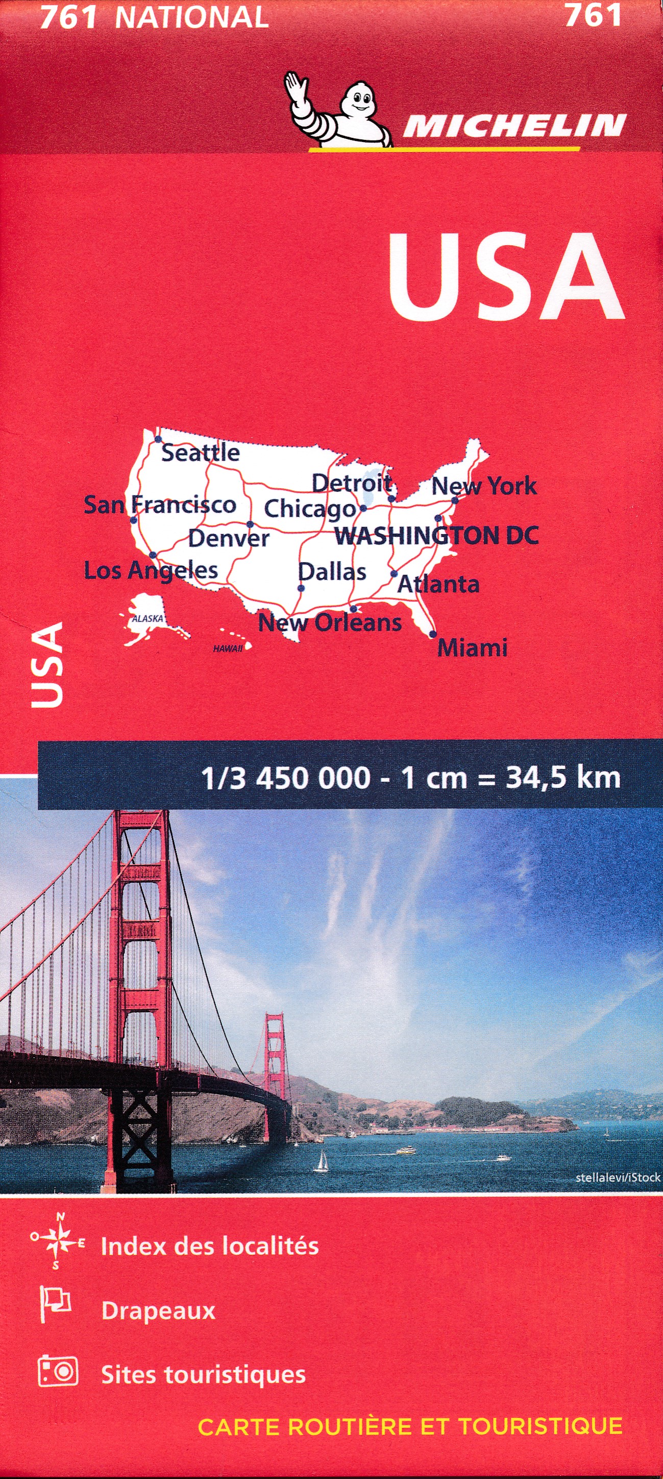
Southeast-USA The South and Florida 1 : 3 000 000. Road Map + City Maps ab 9.9 EURO Southeast-USA, Central Florida, New Orleans & Region, New Orleans French Quarter, Atlanta & Region, Atlanta Downtown, Miami Downtown, South Miami Beach, Miami & Florida Keys Borch Maps. 14. AuflageRead more
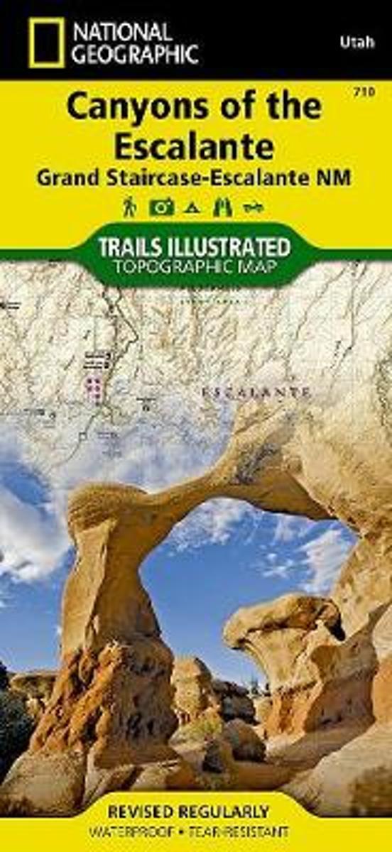
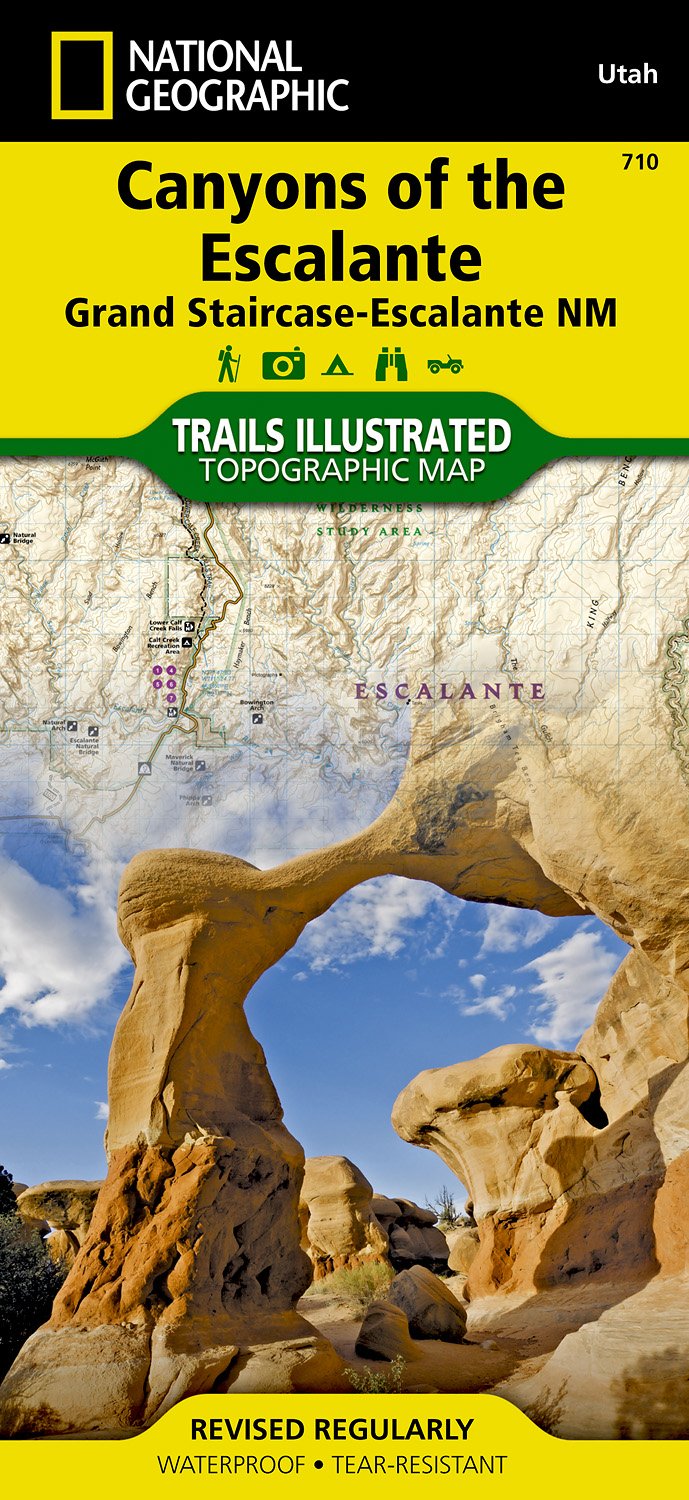
Map No. 710, Canyons of the Escalante, UT, in an extensive series of GPS compatible, contoured hiking maps of USA’s national and state parks or forests and other popular recreational areas. Cartography based on the national topographic survey, with additional tourist information.The maps, with most titles now printed on light, waterproof and...Read more
Waterproof Tear-Resistant Topographic MapAt over 1.7 million acres, Grand Staircase-Escalante National Monument encompasses the largest land area of all national monuments in the United States. National Geographic's Trails Illustrated map of Canyons of the Escalante delivers unmatched detail and valuable information to assist you in your...Read more
Waterproof Tear-Resistant Topographic MapAt over 1.7 million acres, Grand Staircase-Escalante National Monument encompasses the largest land area of all national monuments in the United States. National Geographic's Trails Illustrated map of Canyons of the Escalante delivers unmatched detail and valuable information to assist you in your...Read more
Prachtige geplastificeerde kaart van het bekende nationaal park. Met alle recreatieve voorzieningen als campsites, maar ook met topografische details en wandelroutes ed. Door uitgekiend kleurgebruik zeer prettig in gebruik. Scheur en watervast! Coverage includes BLM - Escalante Resource Area, Dixie National Forest, Glen Canyon National...Read more