
Stanfords
United Kingdom
- Cambridge and Newmarket 1898-1901
- Map No. 154, Cambridge and Newmarket 1898-1901, in the Cassini Historical Series of old Ordnance Survey mapping of England and Wales at 1:50,000 in a format designed to offer a convenient comparison with the present day coverage from the OS, and most locations in three different editions. Old historical maps have been combined so that the sheet... Read more
Stanfords
United Kingdom
- Skegness and Horncastle 1824
- Map No. 122, Skegness and Horncastle 1824, in the Cassini Historical Series of old Ordnance Survey mapping of England and Wales at 1:50,000 in a format designed to offer a convenient comparison with the present day coverage from the OS, and most locations in three different editions. Old historical maps have been combined so that the sheet... Read more
Stanfords
United Kingdom
- Whitby and Esk Dale 1903-1904
- Map No. 94, Whitby and Esk Dale 1903-1904, in the Cassini Historical Series of old Ordnance Survey mapping of England and Wales at 1:50,000 in a format designed to offer a convenient comparison with the present day coverage from the OS, and most locations in three different editions. Old historical maps have been combined so that the sheet... Read more
Stanfords
United Kingdom
- Lleyn Peninsula / Pen Llyn 1922
- Map No. 123, Lleyn Peninsula / Pen Llyn 1922, in the Cassini Historical Series of old Ordnance Survey mapping of England and Wales at 1:50,000 in a format designed to offer a convenient comparison with the present day coverage from the OS, and most locations in three different editions. Old historical maps have been combined so that the sheet... Read more
Stanfords
United Kingdom
- Maidstone and Royal Tunbridge Wells 1813-1921 (3-map set)
- Map No. 188, Maidstone and Royal Tunbridge Wells 1813-1921 (3-map set), in the Cassini Historical Series of old Ordnance Survey mapping of England and Wales at 1:50,000 in a format designed to offer a convenient comparison with the present day coverage from the OS, and most locations in three different editions. Old historical maps have been... Read more
Stanfords
United Kingdom
- Lincoln and Newark-on-Trent 1902-1903
- Map No. 121, Lincoln and Newark-on-Trent 1902-1903, in the Cassini Historical Series of old Ordnance Survey mapping of England and Wales at 1:50,000 in a format designed to offer a convenient comparison with the present day coverage from the OS, and most locations in three different editions. Old historical maps have been combined so that the... Read more
Stanfords
United Kingdom
- Preston and Blackpool 1924
- Map No. 102, Preston and Blackpool 1924, in the Cassini Historical Series of old Ordnance Survey mapping of England and Wales at 1:50,000 in a format designed to offer a convenient comparison with the present day coverage from the OS, and most locations in three different editions. Old historical maps have been combined so that the sheet lines... Read more
Stanfords
United Kingdom
- Swansea and Gower / Abertawe a Gwyr 1901
- Map No. 159, Swansea and Gower / Abertawe a Gwyr 1901, in the Cassini Historical Series of old Ordnance Survey mapping of England and Wales at 1:50,000 in a format designed to offer a convenient comparison with the present day coverage from the OS, and most locations in three different editions. Old historical maps have been combined so that... Read more
Stanfords
United Kingdom
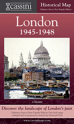
- London 1945-1948
- London in 1945-1948 in the Cassini Historical Series reproducing old Ordnance Survey mapping of England and Wales at 1:50,000. The four London maps cover roughly the area of the present day Greater London rather than following the format of rest of the series which is designed to correspond to the current Landranger maps. Mapping is identical... Read more
Stanfords
United Kingdom
- The Solent and Isle of Wight 1810-1919 (3-map set)
- Map No. 196, The Solent and Isle of Wight 1810-1919 (3-map set), in the Cassini Historical Series of old Ordnance Survey mapping of England and Wales at 1:50,000 in a format designed to offer a convenient comparison with the present day coverage from the OS, and most locations in three different editions. Old historical maps have been combined... Read more
Stanfords
United Kingdom
- Leicester, Coventry and Rugby 1901-1902
- Map No. 140, Leicester, Coventry and Rugby 1901-1902, in the Cassini Historical Series of old Ordnance Survey mapping of England and Wales at 1:50,000 in a format designed to offer a convenient comparison with the present day coverage from the OS, and most locations in three different editions. Old historical maps have been combined so that the... Read more

Stanfords
United Kingdom
- Torbay and Newton Abbot Past and Present
- Torbay and Newton Abbot in the Cassini Past and Present map series which covers town and cities of England and Wales and offers a unique way of tracing their history and expansion by showing four different periods of their development using Ordnance Survey mapping from the mid-19th century, the late 19th century, the 1920s and the present day.... Read more
Stanfords
United Kingdom
- Sheffield and Huddersfield 1923-1925
- Map No. 110, Sheffield and Huddersfield 1923-1925, in the Cassini Historical Series of old Ordnance Survey mapping of England and Wales at 1:50,000 in a format designed to offer a convenient comparison with the present day coverage from the OS, and most locations in three different editions. Old historical maps have been combined so that the... Read more
Stanfords
United Kingdom
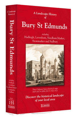
- Bury St Edmunds 1805-1921 (3-map set)
- Map No. 155, Bury St Edmunds 1805-1921 (3-map set), in the Cassini Historical Series of old Ordnance Survey mapping of England and Wales at 1:50,000 in a format designed to offer a convenient comparison with the present day coverage from the OS, and most locations in three different editions. Old historical maps have been combined so that the... Read more
Stanfords
United Kingdom
- London East 1897-1902
- Map No. 177, London East 1897-1902, in the Cassini Historical Series of old Ordnance Survey mapping of England and Wales at 1:50,000 in a format designed to offer a convenient comparison with the present day coverage from the OS, and most locations in three different editions. Old historical maps have been combined so that the sheet lines... Read more