Stanfords
United Kingdom
- Myvatn
- Myvatn area of Iceland at 1:100,000 in a series of hiking and recreational topographic maps from Sogur Utgafa, with 27 hiking and riding tracks highlighted and described in detail. The map presents detailed picture of the area’s topography, with contours at 20m intervals supplemented by spot heights and relief shading. The colouring indicates... Read more

Stanfords
United Kingdom
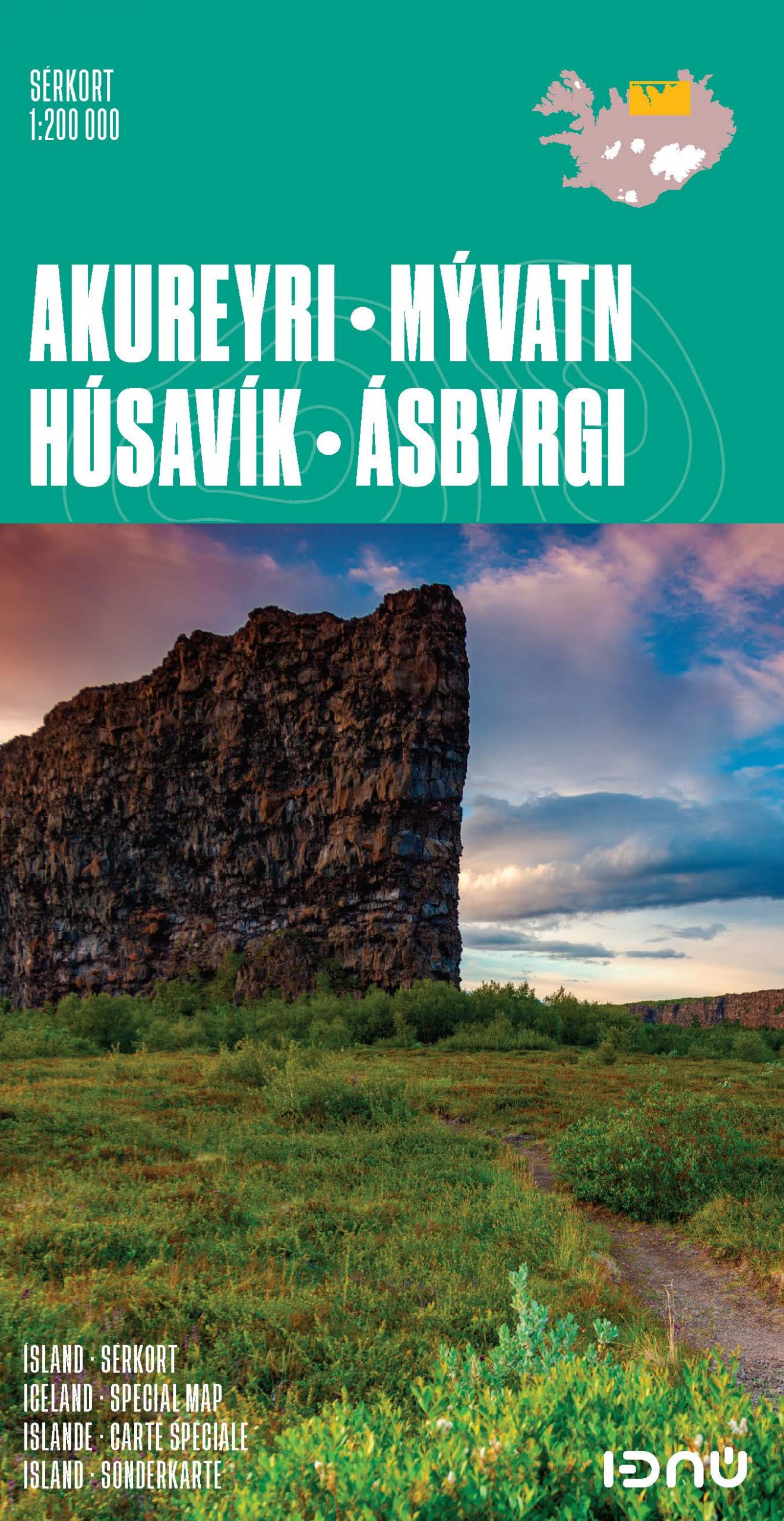
- Iceland North: Hvammstangi - Mývatn Lake
- Northern Iceland at 1:200,000 on a detailed map from Mál og Menning with exceptionally vivid presentation of the country’s topography and landscape, hard surface or gravel roads and numerous country tracks, superb drawings of local birds and flowers, etc. Coverage extends from Hvammstangi in the west to Lake Mývatn in the east.Maps in this... Read more

Stanfords
United Kingdom
- Iceland North East: Húsavik - Lake Mývatn - Bakkagerði
- North-Eastern Iceland at 1:200,000 on a detailed map from Mál og Menning with exceptionally vivid presentation of the country’s topography and landscape, hard surface or gravel roads and numerous country tracks, superb drawings of local birds and flowers, etc. Coverage extends from Húsavik and Lake Mývatn to the eastern coast.Maps in this... Read more

Stanfords
United Kingdom
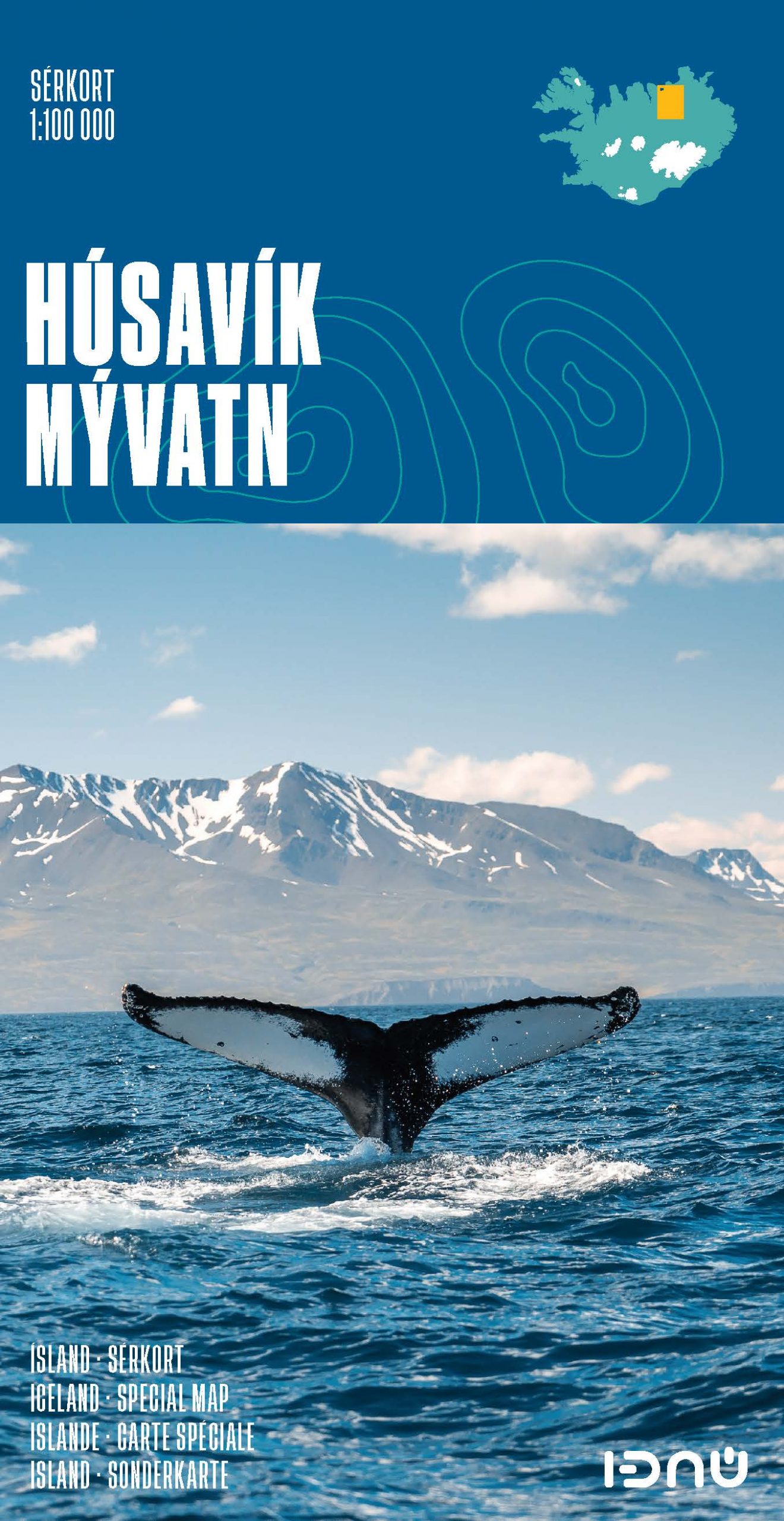
- Husavik - Lake Mývatn SUPERCEDED
- Husavik – Mývatn at 1:100,000 in a series of special detailed hiking and touring maps, based on the Icelandic topographic survey, covering an area south of Húsavik including Lake Mývatn and its surroundings. Contours are at 20-metre intervals, with several types of terrain and vegetation indicated, e.g. different types of forest, sand, moraine,... Read more
Stanfords
United Kingdom
- Husavik - Lake Mývatn IDNU Map
- Husavik – Mývatn at 1:100,000 in a series of special detailed hiking and touring maps, based on the Icelandic topographic survey, covering an area south of Húsavik including Lake Mývatn and its surroundings. Contours are at 20-metre intervals, with several types of terrain and vegetation indicated, e.g. different types of forest, sand, moraine,... Read more

De Zwerver
Netherlands
- Wandelkaart 4 Husavik - Mývatn - Muggenmeer IJsland | Ferdakort
- Husavik – Mývatn at 1:100,000 in a series of special detailed hiking and touring maps, based on the Icelandic topographic survey, covering an area south of Húsavik including Lake Mývatn and its surroundings. Contours are at 20-metre intervals, with several types of terrain and vegetation indicated, e.g. different types of forest, sand, moraine,... Read more
De Zwerver
Netherlands

Stanfords
United Kingdom
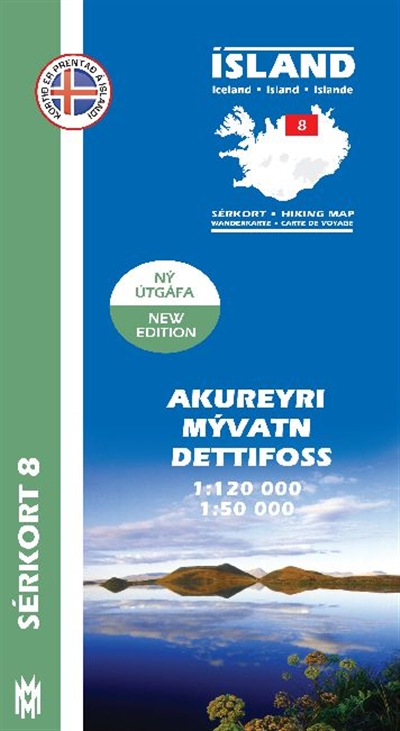
- Akureyri - Mývatn - Dettifoss
- Akureyri - Mývatn - Dettifoss area of Iceland at 1:120,000 in a series of detailed hiking and recreational topographic maps from Mál og menning - the country`s leading cartographic publishers, with beautiful drawings of local birds and tourist information. Two enlargements show in greater detail at 1:50,000 Mývatn Lake and its surroundings,... Read more
De Zwerver
Netherlands
- Wandelkaart - Topografische kaart 83 Atlaskort Myvatn | Ferdakort
- Deze kaarten zijn niet direkt op voorraad. De levertijd is echter normaal gesproken slechts enkele dagen. Niet alle kaarten van deze serie zijn op dit moment beschikbaar. De kaarten die u niet kunt vinden vanuit het overzicht zijn niet leverbaar. Deze serie topografische kaarten van IJsland zijn goed gedetailleerd. Alle topografische details... Read more
De Zwerver
Netherlands