Stanfords
United Kingdom
United Kingdom
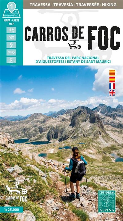
- Carros de Foc Hiking Circuit Editorial Alpina
- Carros de Foc (Chariots of Fire) Hiking Circuit, a five to seven day long hiking route in the Aigüestortes i Estany de Sant Maurici National Park, shown on a 1:25,000 map from Editorial Alpina. The map, from the publishers of an extensive hiking series for the Spanish Pyrenees, has contours at 20m intervals, relief shading, and vegetation... Read more
- Also available from:
- The Book Depository, United Kingdom