Stanfords
United Kingdom
United Kingdom
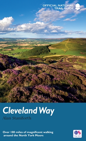
- Yorkshire Coast Path: A guide to walking 120 miles of magnificent coastline from Redcar to the Humber
- The Yorkshire coastline is the second most visited tourist destination in England - so why no walking guide to its entire length? The Trail Guides published by, for example, Aurum, and other walking publishers like Cicerone, sell steady numbers of guides to the Northumberland Coast Path, let alone National Trails like the South-West Coast Path.... Read more