Stanfords
United Kingdom
2020
The Book Depository
United Kingdom
Stanfords
United Kingdom
2019
» Click to open
The Book Depository
United Kingdom
2019
De Zwerver
Netherlands
2019
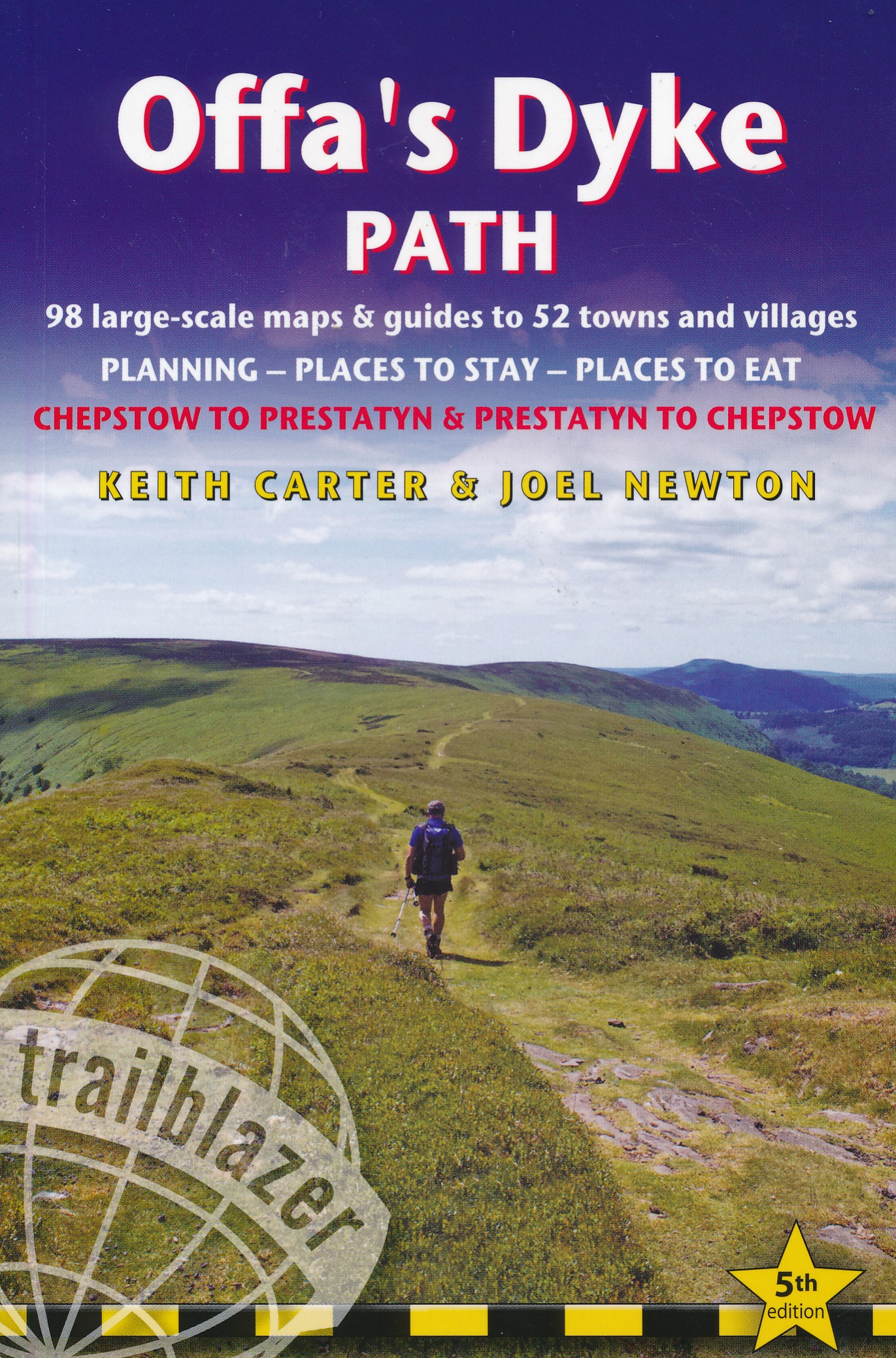
  • Wandelgids Offa's Dyke Path | Trailblazer Guides
  • The Offa`s Dyke Path is a magnificent National Trail that runs from the North Wales coast to the Severn Estuary following the line of Offa`s Dyke, an impressive 8th century earthwork along the English/Welsh border. The ever-changing landscape - the Wye Valley, the Black Mountains, the Shropshire Hills and the Clwydian Hills - is steeped in... Read more
» Click to close
Stanfords
United Kingdom
» Click to open
The Book Depository
United Kingdom
» Click to close
Stanfords
United Kingdom
2019
» Click to open
The Book Depository
United Kingdom
2019
De Zwerver
Netherlands
2019
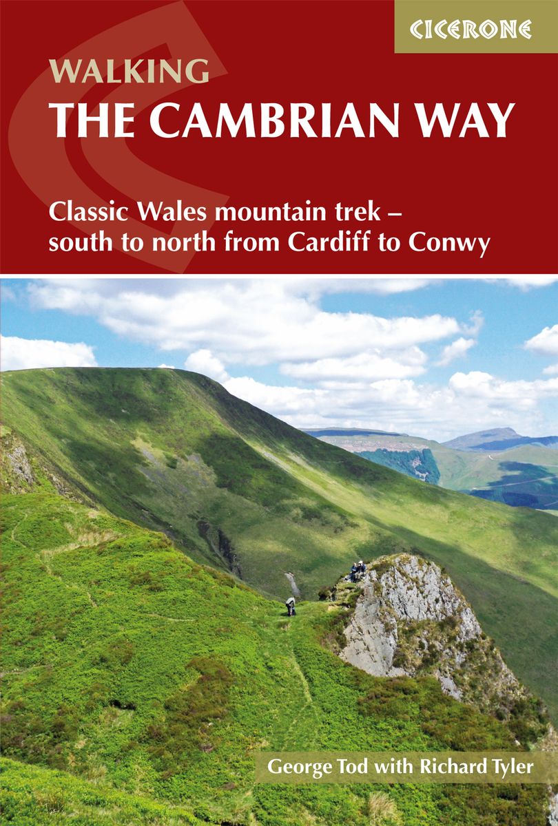
  • Wandelgids The Cambrian Way | Cicerone
  • Guidebook to the Cambrian Way, a challenging three-week mountain trek through Wales from Cardiff to Conwy. The 470km unwaymarked route is presented from south to north. Often sticking to long, beautiful ridgelines, it crosses wild and rugged terrain and visits many of Wales's highest mountains, including Snowdon. Read more
» Click to close
Stanfords
United Kingdom
2017
» Click to open
The Book Depository
United Kingdom
2017
» Click to close
Stanfords
United Kingdom
» Click to open
The Book Depository
United Kingdom
» Click to close
The Book Depository
United Kingdom
Stanfords
United Kingdom
2014
» Click to open
The Book Depository
United Kingdom
2014
  • The Mountains of England and Wales: Vol 1 Wales
  • The Nuttalls are hills over 2000ft high in England and Wales. The 190 Nuttalls in Wales are split into: Carneddau, Glyders, Snowdon, Moel Hebog, Moelwyns, Arenigs, Berwyns, Arans, Rhinogs, Cadair Idris, central Wales, Black Mountains, Brecon Beacons. Definitive lists, detailed route descriptions, maps and drawings of Wales' highest peaks. Read more
» Click to close
The Book Depository
United Kingdom
Stanfords
United Kingdom
» Click to open
» Click to close
Stanfords
United Kingdom
» Click to open
» Click to close
Stanfords
United Kingdom
2022
» Click to open
The Book Depository
United Kingdom
2022
De Zwerver
Netherlands
2022
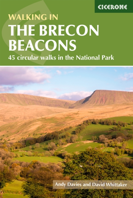
  • Wandelgids Walking on the Brecon Beacons | Cicerone
  • Guidebook to 45 graded circular walks in the Brecon Beacons National Park, perfect for those wishing to discover the diversity of the region, away from the crowds. The routes range from 4 to 24km and cover the north-eastern, eastern and south-western valleys and ridges, Fforest Fawr, Waterfall Country, the Black Mountain (Mynydd Du) and the... Read more
» Click to close
Bol.com
Netherlands
» Click to open
Bol.com
Belgium
  • Blue Guide Hay-on-Wye
  • Blue Guides: Complete Cultural Guides -- The only full guidebook treatment of this charming Welsh border town, famous for its second-hand bookstores and annual Book Festival. Meticulously researched and lovingly written, this book contains a wealth of detail on the town's past and present, its architecture and major monuments, including... Read more
» Click to close
Stanfords
United Kingdom
2016
» Click to open
Bol.com
Netherlands
2016
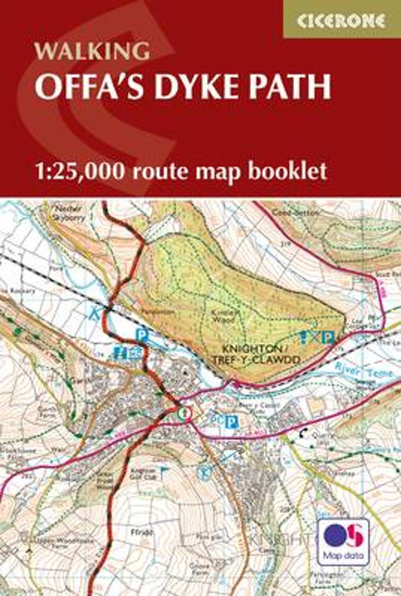
  • Offa's Dyke Map Booklet
  • All the mapping you need to walk the Offa's Dyke Path National Trail that runs for 177 miles along the English-Welsh border between Sedbury (near Chepstow) and Prestatyn on the north Wales Coast. NOTE An accompanying Cicerone guidebook - Offa's Dyke Path - describes the full route from south to north with lots of other practical and historical... Read more
Bol.com
Belgium
2016
  • Offa's Dyke Map Booklet
  • All the mapping you need to walk the Offa's Dyke Path National Trail that runs for 177 miles along the English-Welsh border between Sedbury (near Chepstow) and Prestatyn on the north Wales Coast. NOTE An accompanying Cicerone guidebook - Offa's Dyke Path - describes the full route from south to north with lots of other practical and historical... Read more
De Zwerver
Netherlands
2016
  • Wandelkaart Offa's Dyke Path - Wales | Cicerone
  • Map of the 177-mile (283km) Offa's Dyke Path National Trail, between Sedbury (nr Chepstow) and Prestatyn. The trail takes a fortnight to walk, and is suitable for walkers at all levels of experience. This compact booklet of Ordnance Survey 1:25,000 maps shows the full route, providing all of the mapping you need to complete the trail. Read more
» Click to close