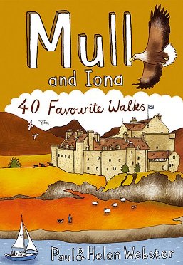
Mull
Description

The Isle of Mull is one of the larger Inner Hebrides. At the far western side is the enigmatic island of Iona. No long distance trails on Mull, but many shorter hikes are possible.


Links
Facts
Reports
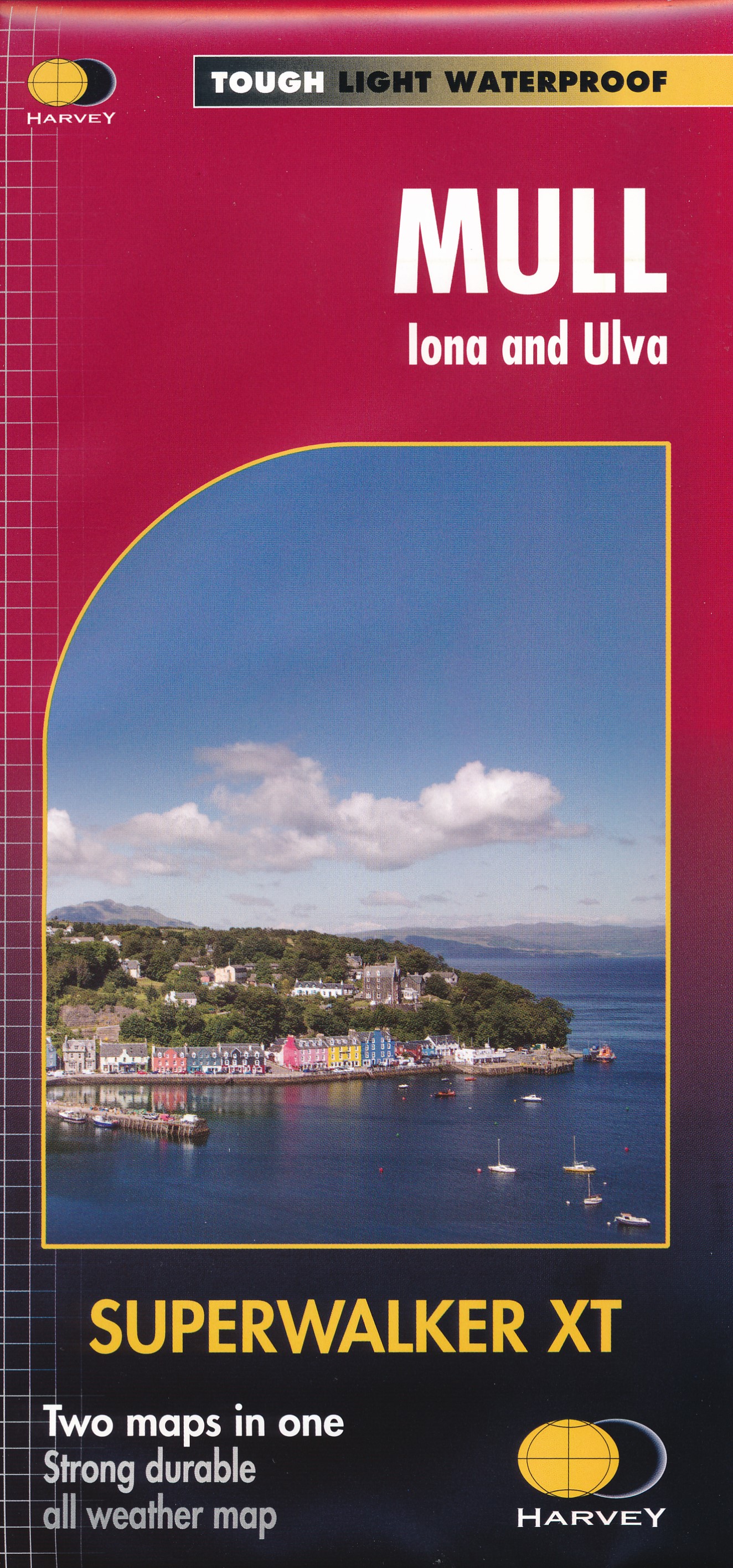
Guides and maps
Lodging
Organisations
Tour operators
GPS
Other
Books

Stanfords
United Kingdom
United Kingdom
- Discover the Isle of Mull - Including Isles of Iona, Ulva & Gometra
- Mull with the nearby islands of Iona, Ulva and Gometra on a contoured and GPS compatible map at 1:65,000 from Footprint Walks, plus on the reverse extensive tourist information including description of sights, useful contact details, etc. Coverage extends west to include Staffa with its famous Fingal’s Cave, the Treshnish Isles and Bac Mór... Read more

Stanfords
United Kingdom
2011
United Kingdom
2011
- Skye & The Western Isles
- Skye & the Western Isles is a fully revised new edition of the only comprehensive guide to Scotland`s Western Isles, which include Skye, Lewis, Harris, Uist, Iona, Jura, Islay and Arran. These enchanting islands reward the visitor with a rich variety of terrain and wildlife from the stark beauty of the Cuillin mountains of Skye to the raging... Read more

Stanfords
United Kingdom
2018
United Kingdom
2018
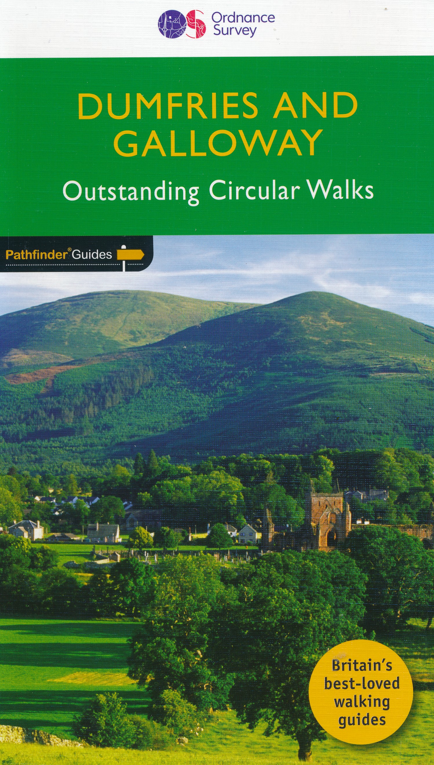
- Dumfries & Galloway
- Dumfries and Galloway form the south-west of Scotland, a broad wedge of land jutting out into the Irish Sea between the Solway Firth and the Firth of Clyde. The area is also part of Scotland`s border country a peaceful, unspoilt region that possesses a mild climate, a great variety of scenery and a rich historic legacy. The mountains of... Read more
- Also available from:
- The Book Depository, United Kingdom
- De Zwerver, Netherlands

The Book Depository
United Kingdom
2018
United Kingdom
2018
- Dumfries & Galloway
- Dumfries and Galloway form the south-west of Scotland, a broad wedge of land jutting out into the Irish Sea between the Solway Firth and the Firth of Clyde. The area is also part of Scotland`s border country a peaceful, unspoilt region that possesses a mild climate, a great variety of scenery and a rich historic legacy. The mountains of... Read more
De Zwerver
Netherlands
2018
Netherlands
2018
- Wandelgids 19 Pathfinder Guides Dumfries & Galloway | Ordnance Survey
- Dumfries and Galloway form the south-west of Scotland, a broad wedge of land jutting out into the Irish Sea between the Solway Firth and the Firth of Clyde. The area is also part of Scotland`s border country a peaceful, unspoilt region that possesses a mild climate, a great variety of scenery and a rich historic legacy. The mountains of... Read more

Stanfords
United Kingdom
United Kingdom
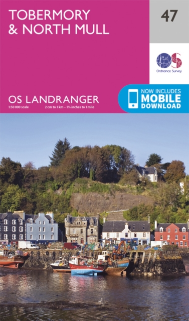
- Isle of Mull North & Tobermory - Ulva, Staffa & Treshnish Isles OS Explorer Active Map 374 (waterproof)
- The northern part of Mull with Tobermory, plus Ulva, Staffa and the Treshnish Isles on a detailed topographic and GPS compatible map No. 374, waterproof version, from the Ordnance Survey’s 1:25,000 Explorer series. MOBILE DOWNLOADS: this title and all the other OS Explorer maps include a code for downloading after purchase the digital version... Read more
- Also available from:
- The Book Depository, United Kingdom


Stanfords
United Kingdom
2015
United Kingdom
2015
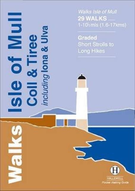
- Walks Isle Of Mull, Coll & Tiree
- Rewalked and revised in 2015, Walks Isle of Mull, Coll & Tiree including Iona & Ulva includes walks on the Inner Hebridean island of Mull and the nearby islands. Mull is typified by spectacular coastal scenery and fine hill climbs, while the other islands are lower and gentler in character. The 29 walks featured range from 1 mile to 10.5 miles... Read more
- Also available from:
- The Book Depository, United Kingdom
- De Zwerver, Netherlands


Stanfords
United Kingdom
United Kingdom
- Isle of Mull East - Craignure OS Explorer Active Map 375 (waterproof)
- The eastern part of Mull with Craignure on a detailed topographic and GPS compatible map No. 375, waterproof version, from the Ordnance Survey’s 1:25,000 Explorer series. MOBILE DOWNLOADS: this title and all the other OS Explorer maps include a code for downloading after purchase the digital version onto your smartphone or tablet for viewing on... Read more
- Also available from:
- The Book Depository, United Kingdom


- Also available from:
- De Zwerver, Netherlands

- Also available from:
- De Zwerver, Netherlands
De Zwerver
Netherlands
2019
Netherlands
2019

- Also available from:
- De Zwerver, Netherlands

- Also available from:
- De Zwerver, Netherlands

Stanfords
United Kingdom
2019
United Kingdom
2019
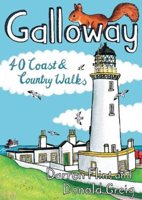
- Galloway: 40 Coast & Country Walks
- Made up of the old counties of Wigtownshire and The Stewartry, Galloway covers a vast swathe of Scotland`s quiet southwest corner. This under-discovered area offers 260km of coast, full of sandy beaches and towering cliffs, lonely heather-clad moors and quiet hills. Add to this plenty of wildlife, a rich artistic heritage, strong spiritual... Read more
- Also available from:
- The Book Depository, United Kingdom
- De Zwerver, Netherlands

De Zwerver
Netherlands
2019
Netherlands
2019
- Wandelgids Galloway | Pocket Mountains
- Made up of the old counties of Wigtownshire and The Stewartry, Galloway covers a vast swathe of Scotland`s quiet southwest corner. This under-discovered area offers 260km of coast, full of sandy beaches and towering cliffs, lonely heather-clad moors and quiet hills. Add to this plenty of wildlife, a rich artistic heritage, strong spiritual... Read more


- Also available from:
- De Zwerver, Netherlands

Stanfords
United Kingdom
2015
United Kingdom
2015
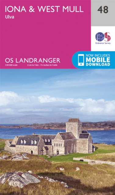
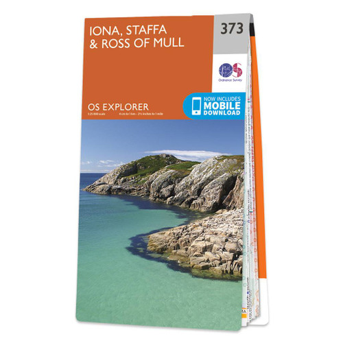
- Iona, Staffa & Ross of Mull OS Explorer Map 373 (paper)
- The islands of Iona and Staffa, plus the Ross of Mull on a detailed topographic and GPS compatible map No. 373, paper version, from the Ordnance Survey’s 1:25,000 Explorer series.MOBILE DOWNLOADS: this title and all the other OS Explorer maps include a code for downloading after purchase the digital version onto your smartphone or tablet for... Read more
- Also available from:
- The Book Depository, United Kingdom
- De Zwerver, Netherlands

De Zwerver
Netherlands
2015
Netherlands
2015

- Also available from:
- De Zwerver, Netherlands