
Cornwall
Description
Southwestern tip of England. Said to have a mild and sunny climate. The rugged coastline can be explored entirely on the South West Coast Path.
Trails in this region
Links
Facts
Reports
Guides and maps
Lodging
Organisations
Tour operators
GPS
Other
Books

Stanfords
United Kingdom
United Kingdom
- Walks Along the East Jurassic Coast - Studland to Portland
- From the Publisher of the highly acclaimed Jurassic Coast Official Guide, Coastal Publishing Limited is a fast growing publisher with an expanding list of books of regional interest and national appeal. Walks Along the East Jurassic Coast and its companion Walks Along the West Jurassic Coast Are the first two books in a series of 11 walking... Read more

Stanfords
United Kingdom
United Kingdom
- The Island House: Our Wild New Life on a Tiny Cornish Isle
- `In the January dark, a young man walks slowly into the sea. He can`t see where he is going, but he knows the island is calling...`Mary and Patrick`s dream was to live in London, have 2.4 children, the nice house, the successful jobs. But life had other plans, and in one traumatic year that all came crashing down.Bruised and battered, Mary... Read more
Stanfords
United Kingdom
United Kingdom
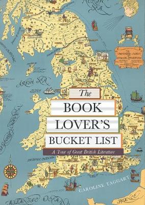
- The Book Lover`s Bucket List: A Tour of Great British Literature
- Exploring the gardens, monuments, museums, and churches with walks both urban and rural, from the Bronte parsonage in Haworth to Zadie Smith`s North London and Shakespeare`s Stratford, `The Book Lover`s Bucket List` takes you through some 100 wonderfully described literary sites and landscapes, complete with colour destination photographs and... Read more

Stanfords
United Kingdom
United Kingdom
- Britain`s Best Coastal Walks
- Accompanied by beautiful colour photography, ”Britain`s Best Coastal Walks” celebrates the varied treasures to be found on the coastlines of England, Wales and Scotland. Andrew McCloy has devised 15 two- to three-day walks along sections of Britain`s most famous coastal paths, which are shown on clear and detailed maps. His commentaries focus... Read more

Stanfords
United Kingdom
United Kingdom
- Walks Along The West Jurassic Coast
- From the Publisher of the highly acclaimed Jurassic Coast Official Guide, Coastal Publishing Limited is a fast growing publisher with an expanding list of books of regional interest and national appeal. Walks Along the East Jurassic Coast and its companion Walks Along the West Jurassic Coast Are the first two books in a series of 11 walking... Read more

Stanfords
United Kingdom
2021
United Kingdom
2021
- DK Eyewitness England`s South Coast
- Windswept cliffs, breathtaking beaches, and vibrant cities: welcome to the stunning south of England.Whether you want to relax on the sandy shores of Cornwall, wander around London`s famous museums or browse vintage shops in Brighton, your DK Eyewitness travel guide makes sure you experience all that this region has to offer.England`s South... Read more


Stanfords
United Kingdom
United Kingdom
- DK Eyewitness Top 10 Cornwall and Devon
- The world`s bestselling pocket guidesWith golden sandy beaches, picturesque fishing villages, and legendary castles, Cornwall and Devon have long captured the imagination of all who visit.Make the most of your trip to England`s seaside paradise with DK Eyewitness Top 10. Planning is a breeze with our simple lists of ten, covering the very best... Read more


Stanfords
United Kingdom
United Kingdom
- Dog-Friendly Weekends: 50 breaks in Britain for you and your dog
- Dog-friendly Weekends is the first all-encompassing, practical and inspirational guidebook to dog-friendly holidays in Britain. Not only does it cover dog-friendly accommodation and pubs, but most importantly, each chapter offers a well-rounded weekend away, with recommendations on attractions where the dog is allowed and great walks for all... Read more

Stanfords
United Kingdom
United Kingdom
- South Devon Coast - Plymouth to Lyme Regis - Classic Walks - South West Coast Path
- These attractive and cleverly structured guides will give walkers ten of the best short circular walks along each of the five sections of the 630-mile long South West Coast Path in a popular pocket-size format.With clear information, an overview and introduction for each walk, expertly written numbered directions, large scale Ordnance Survey... Read more
Stanfords
United Kingdom
2019
United Kingdom
2019
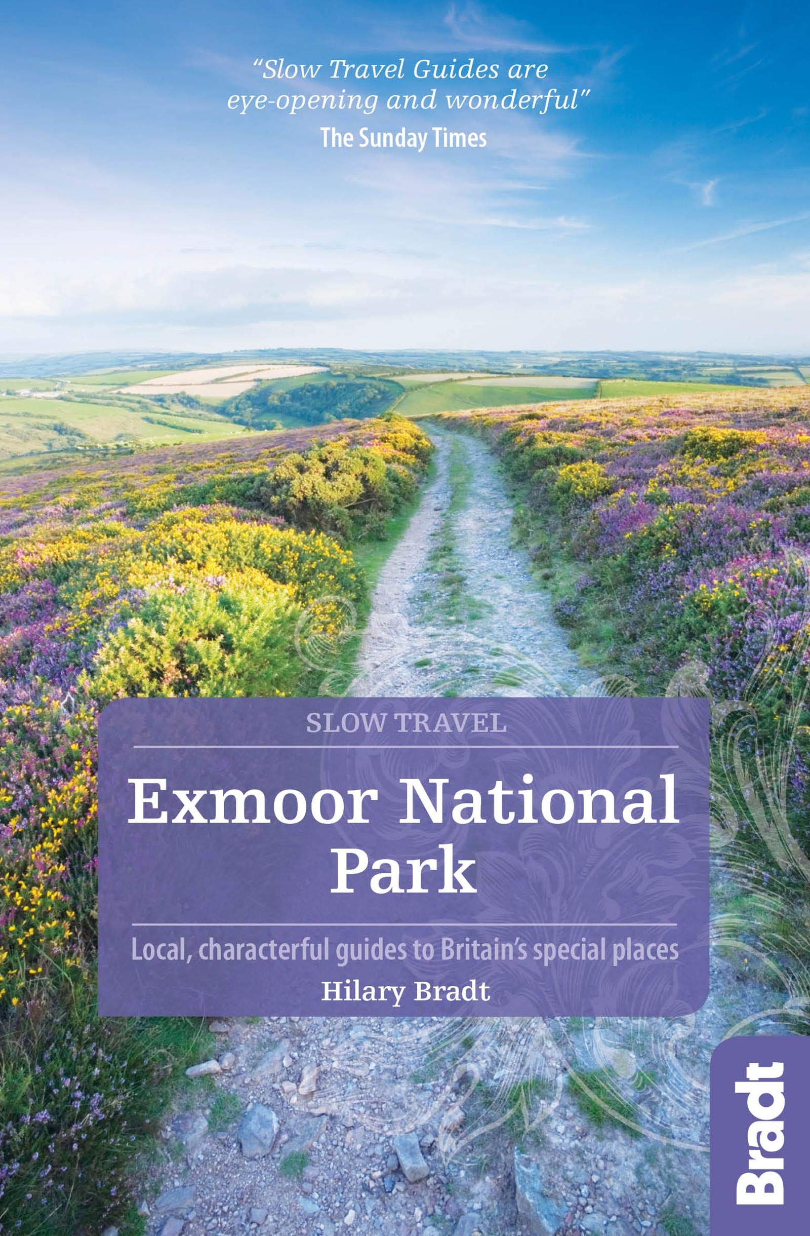
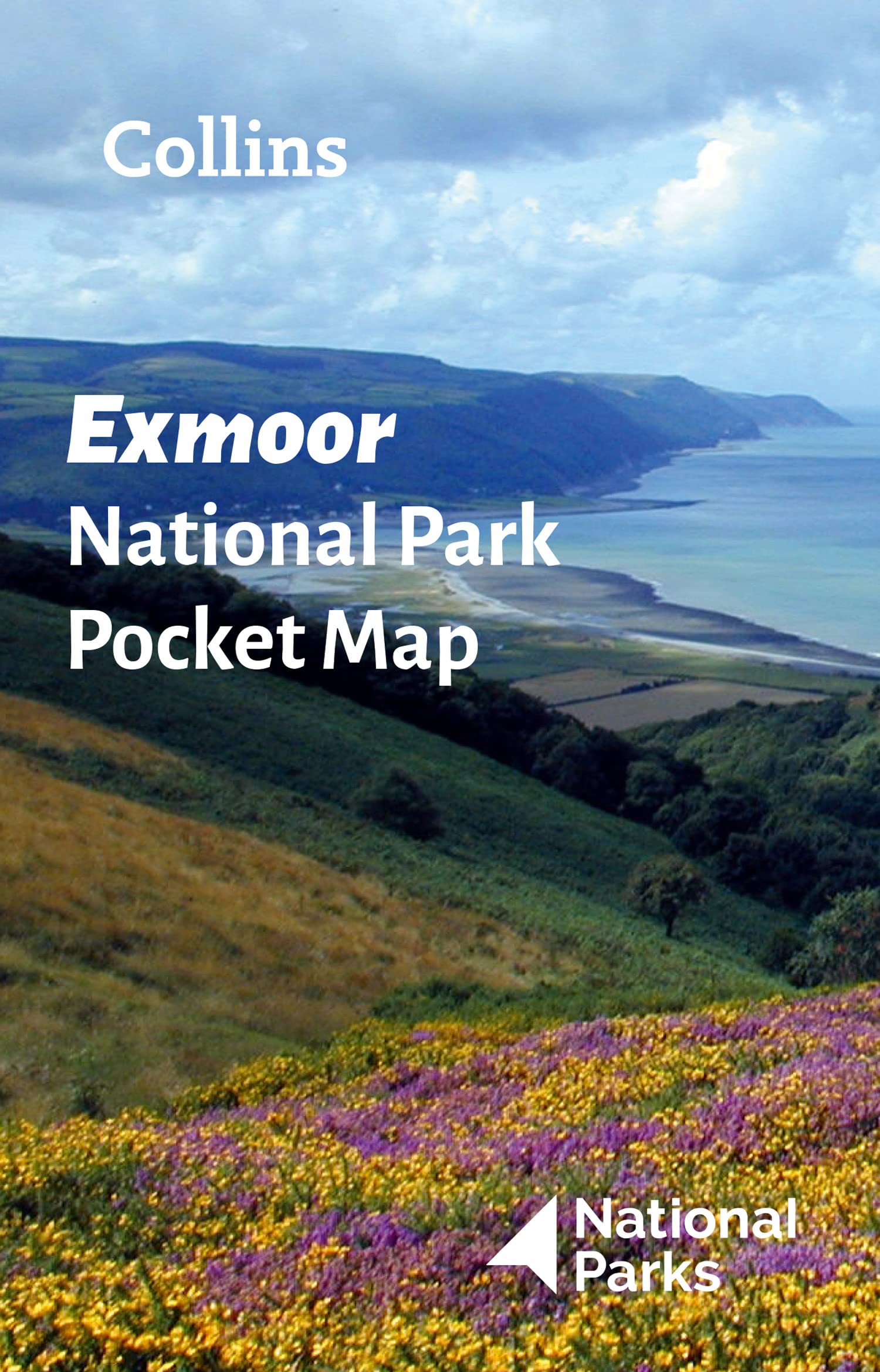
- Exmoor National Park (Slow Travel) Bradt Guide
- This new title in Bradt`s distinctive series of Slow travel guides to regions of Britain is the only general guide to focus exclusively on Exmoor, covering all of the national park plus towns and villages just outside the boundary. Written by expert resident author Hilary Bradt, coast and moorland, hiking, wildlife and birdwatching are all... Read more

Stanfords
United Kingdom
2019
United Kingdom
2019
- Insight Guides Great Breaks Devon & Cornwall (Travel Guide with Free eBook)
- Explore the best of Devon and Cornwall with this indispensably practical Insight Great Breaks Guide. From making sure you don`t miss out on must-see attractions like the Eden Project, Exeter, Tresco Gardens, Dartmoor and Torquay, to discovering hidden gems, including Tintagel, the easy-to-follow, ready-made walking routes will save you time,... Read more

Stanfords
United Kingdom
2019
United Kingdom
2019
- Cornwall Coast Path - Bude to Plymouth (South West Coast Path Part 2)
- Practical, complete hiking route guide, with maps and accommodation for the 288-mile footpath that runs around the entire coastline of Cornwall, from Bude to Plymouth; Part 2 of the South-West-Coast Path, a 630-mile National Trail from Minehead to Poole. Includes * 142 large-scale walking maps (3 1/8inches to 1 mile), 24 town plans, 21 stage... Read more

Stanfords
United Kingdom
United Kingdom
- South Devon - Brixham to Newton Ferrers OS Explorer Active Map OL20 (waterproof)
- The coast of South Devon on a detailed topographic and GPS compatible map OL20, waterproof version, from the Ordnance Survey’s 1:25,000 Explorer series. The map extends westwards beyond Newton Ferrers to Plymouth, eastwards beyond Brixham to Torquay, and inland to include part of the Dartmoor National Park. Coverage includes Paignton, Totness,... Read more
Maps

Stanfords
United Kingdom
United Kingdom
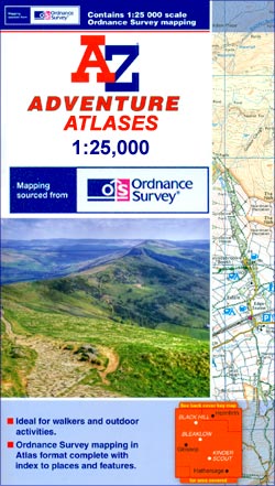
- Exmoor A-Z Adventure Atlas
- Exmoor at 1:25,000 in a series of handy A5 size Adventure Atlases from Geographers` A-Z Map Company with cartography from the Ordnance Survey’s Explorer series. Coverage includes the South West Coast path between Minehead and Combe Martin Bay, Two Moors Way, Tarka Train, Dulverton, Brendon Hills, etc.To see other titles in this series please... Read more

Stanfords
United Kingdom
United Kingdom
- Prince Edward Island
- Prince Edward Island on an indexed road map at 1:200,000, plus indexed street maps at 1:25,000 of its main towns: Charlottetown with Stratford and Cornwall, Alberton, Georgetown, Kensington, Montague, Souris, and Summerside; also contact details for information on ferry services.The main panel presents the island indicating loose surface and... Read more

Stanfords
United Kingdom
United Kingdom
- Kingston ON
- Kingston, Ontario on a double-sided map combining a street plan of Kingston at 1:25,000 with an enlargement of the downtown area, plus on the reverse individual street plans at 1:25,000 of Gananoque, Brockville, Prescott, Iroquois, Cardinal, Morrisburg and Cornwall with an extension to Long Sault Parkway. Each street plan is indexed.Street... Read more

Stanfords
United Kingdom
United Kingdom
- Two Moors Way Harvey National Trail XT40
- Two Moors Way, a 150km / 93 mile long-distance trail between Lynmouth on the north coast of Devon and Ivybridge near Plymouth, crossing Exmoor and Dartmoor National Parks, presented at 1:40,000 on a light, waterproof and tear-resistant map from Harvey Map Services. The route is shown on six panels.Maps in the Harvey’s series covering Great... Read more
Stanfords
United Kingdom
2015
United Kingdom
2015
- South West Coast Path 5 - Dorset A-Z Adventure Atlas
- South West Coast Path 5 - Dorset Adventure Atlas at 1:25,000 in a series of handy A5 size Adventure Atlases from Geographers` A-Z Map Company with cartography from the Ordnance Survey’s Explorer series. The guide covers the 138 km / 86 mile section of the SWCP National Trail between Lyme Regis and Poole and includes a route planner indicating... Read more

Stanfords
United Kingdom
United Kingdom
- England Coast Path Adventure Map - Minehead to Brean Down
- The A-Z Adventure Series of maps combines the best of OS and A-Z, creating the perfect companion for walkers, off-road cyclists, horse riders and anyone wishing to explore the great outdoors.This official Minehead to Brean Down Adventure Map covers a 58 mile (93km) section of the England Coast Path, a new National Trail around England`s coast.... Read more

Stanfords
United Kingdom
United Kingdom
- Cornwall West - Lands End to Bodmin/St Austell Cycling Map 80
- The western half of Cornwall at 1:100,000 on a handy size, 50x35cm, double-sided contoured map from Croydecycle, printed on waterproof and tear-resistant synthetic paper and showing National Cycle routes and numerous local facilities, including campsites, pubs, etc. Coverage extends east to St Austell, Wadebridge and Port Isaac, overlapping... Read more

Stanfords
United Kingdom
United Kingdom
- Cornwall East - Bodmin/St Austell to West Devon Cycling Map 81
- The eastern half of Cornwall at 1:100,000 on a handy size, 50x35cm, double-sided contoured map from Croydecycle, printed on waterproof and tear-resistant synthetic paper and showing National Cycle routes and numerous local facilities, including campsites, pubs, etc. Coverage extends from St Austell, Wadebridge and Port Isaac to Plymouth and... Read more

Stanfords
United Kingdom
United Kingdom
- Ottawa and Environs Street Atlas
- 169-page street atlas of Ottawa and Environs, including Angers, Aylmer, Buckingham, Cantley, Chelsea, Gatineau, Hull, Masson, St. Pierre de Wakefield, Brockville, Cornwall, Pembroke and other locations. The atlas is part of an extensive coverage of Canadian cities and towns from the country’s largest map publisher, MapArt. The mapping is... Read more

Stanfords
United Kingdom
2010
United Kingdom
2010
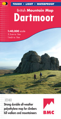
- Dartmoor Harvey British Mountain Map XT40
- Double-sided waterproof mountain map of Dartmoor from Harvey at 1:40,000, with a geological map of the region on the reverse, and advice on navigating the region safely.*MAIN MAP:* Topography is shown through clear altitude shading, spot heights, contours at 15m intervals, and index contours at 75m intervals. A variety of symbols are used to... Read more
- Also available from:
- The Book Depository, United Kingdom
- De Zwerver, Netherlands

The Book Depository
United Kingdom
2010
United Kingdom
2010
- Dartmoor
- Double-sided waterproof mountain map of Dartmoor from Harvey at 1:40,000, with a geological map of the region on the reverse, and advice on navigating the region safely.MAIN MAP: Topography is shown through clear altitude shading, spot heights, contours at 15m intervals, and index contours at 75m intervals. A variety of symbols are used to show... Read more
De Zwerver
Netherlands
2010
Netherlands
2010
- Wandelkaart Dartmoor | Harvey Maps
- Double-sided waterproof mountain map of Dartmoor from Harvey at 1:40,000, with a geological map of the region on the reverse, and advice on navigating the region safely.MAIN MAP: Topography is shown through clear altitude shading, spot heights, contours at 15m intervals, and index contours at 75m intervals. A variety of symbols are used to show... Read more
De Zwerver
Netherlands
Netherlands
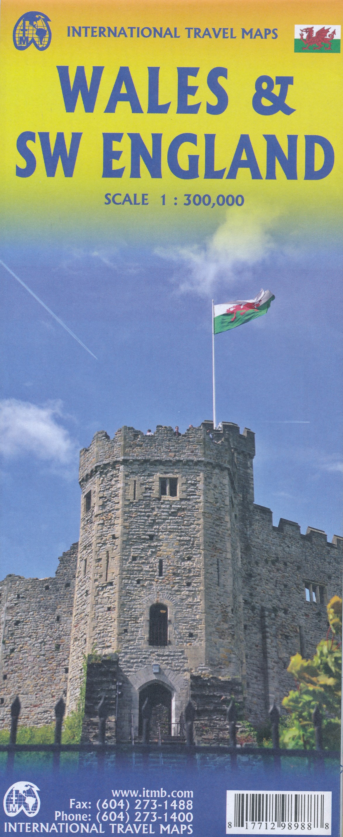
- Wegenkaart - landkaart Wales & southwest England | ITMB
- Wales & SW England 1:300 000 ab 10.49 EURO doppelseitig Wales SW England/West Country - Cornwall, Devon & Somerset International Travel Map ITM. 1. Auflage Read more

De Zwerver
Netherlands
Netherlands
- Wegenkaart - landkaart Cornwall | Freytag & Berndt
- Cornwall 1 : 150 000. Autokarte ab 10.9 EURO Citypläne. Ortsregister mit Postleitzahlen. Touristische Informationen Freytag & Berndt Autokarte. Neuauflage, Laufzeit bis 2019 Read more
De Zwerver
Netherlands
2022
Netherlands
2022