
El Hierro, Canarias
Description

This smallest (apart from La Graciosa) and westernmost island of the Canaries is a huge landmass rising out of the sea to a height of 1500 m. The erosion of the coastline is dramatic, and from space the island looks most like a flintstone. Roads wind up against steep and loose slopes. The top of the island is more friendly.
From east - virtually at the airport - to west runs the GR131, Camino de la Virgen, climbs to the ridge and follows it with breathtaking views. A pity that a road runs nearby. The mountain flanks are covered in shrub and trees, a welcoming contrast to the otherwise dry island. Elsewhere, traces of agriculture can be found, with dry stone walls around arid red earth. And many pumice cones can be explored.
Apart from this GR, there are some 25 local trails on the island, often making considerable climbs. El Hierro counts many villages where you will find food and accommodation.
Check the complete list of Canary Islands.
Map

Trails in this region
Links
Facts
Reports
Guides and maps
Lodging
Organisations
Tour operators
GPS
Other
Books

United Kingdom
2015
- La Palma GERMAN
- This Rother Walking Guide to La Palma (ALL TEXT IS IN GERMAN), presents the hiker with 64 varied and entertaining tour suggestions incorporating every region on the island - the guide includes 112 colour photos and colour hiking maps at 1:50.000 or 1:100,000 scale, and an overview map for general planning at 1:250,000. From physically demanding... Read more

United Kingdom
2019
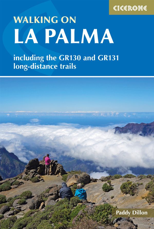
- Walking on La Palma: Including the GR130 and GR131 long-distance trails
- Guide to walking on La Palma. In total 45 day walks are described ranging from 7 to 32km in length, and covering a wide variety of terrain. Although La Palma is one of the smaller Canary Islands, there are routes of all types from easy strolls to hands-on scrambling, from simple day walks to long-distance treks on rocky mountain paths,... Read more
- Also available from:
- The Book Depository, United Kingdom
- De Zwerver, Netherlands

United Kingdom
2019
- Walking on La Palma
- Including the GR130 and GR131 long-distance trails Read more
Netherlands
2019
- Wandelgids Walking on La Palma | Cicerone
- Guidebook to 45 walks and scrambles on La Palma in the Canary Islands, ranging from 7 to 31km. Some walks combine to complete the GR130 long-distance trail (eight days) and GR131 trail (three days). Areas explored include Santa Cruz and Buenavista. Contains a Spanish-English glossary. Read more

- Also available from:
- De Zwerver, Netherlands
Netherlands
2018

United Kingdom
2022
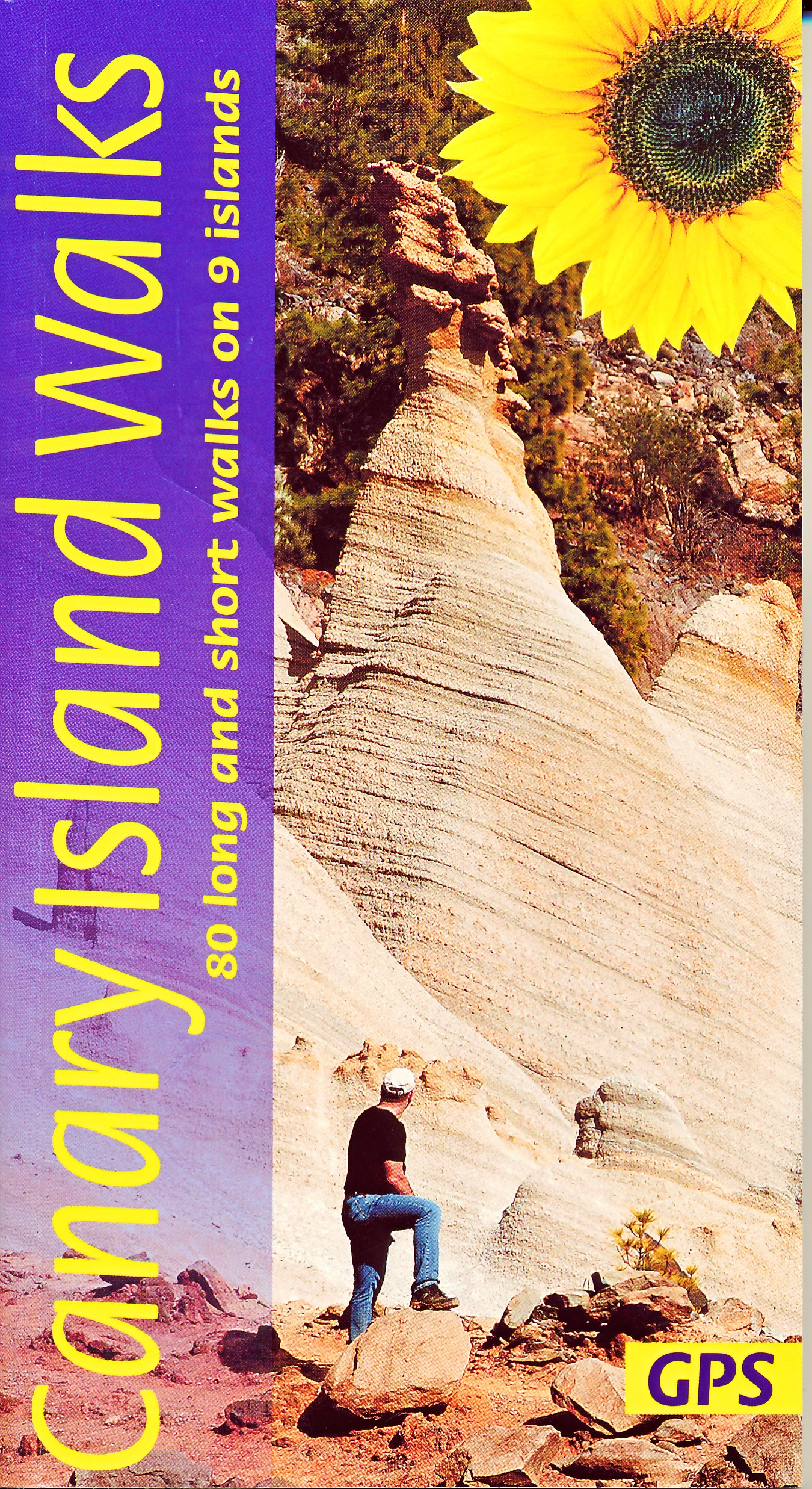
- Canary Islands Walks Sunflower Guide: 90 long and short walks on the Canary Islands
- The go-to travel guide for discovering the best walks on the Canary Islands; Strap on your boots and discover the Canary Islands on foot with the Sunflower Canary Islands Walks travel guide. The Sunflower Canary Islands Walks guide is indispensable for walking and hiking on all 7 Canary Islands - Tenerife, Gran Canaria, Lanzarote,... Read more
- Also available from:
- The Book Depository, United Kingdom
- De Zwerver, Netherlands

United Kingdom
2022
- Canary Islands Walks Sunflower Guide
- 80 long and short walks on the Canary Islands Read more
Netherlands
2022
- Wandelgids Canary Islands Walks | Sunflower books
- The go-to travel guide for discovering the best walks on the Canary Islands; Strap on your boots and discover the Canary Islands on foot with the Sunflower Canary Islands Walks travel guide. The Sunflower Canary Islands Walks guide is indispensable for walking and hiking on all 7 Canary Islands - Tenerife, Gran Canaria, Lanzarote,... Read more

- Also available from:
- De Zwerver, Netherlands

United Kingdom

United Kingdom
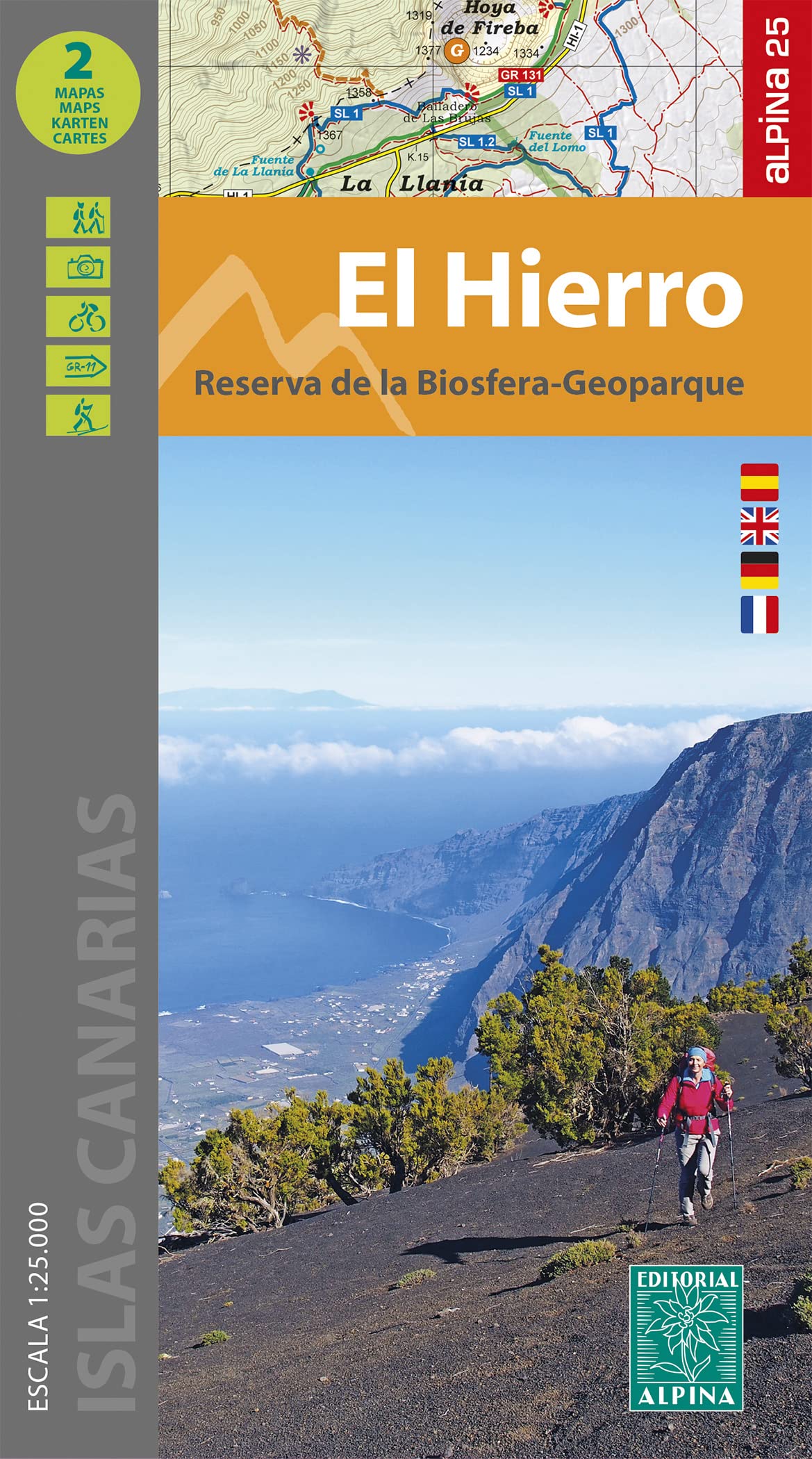
- El Hierro: Tourist Map - Hiking Paths - Road Map - Tourist Information [English / German / Spanish]
- Tourist Map - Hiking Paths - Road Map - Tourist Information Read more

United Kingdom
2019
- Trekking in the Canary Islands: The GR131 island-hopping route
- This guidebook provides a comprehensive and detailed description of the GR131, an island-hopping trail across the seven Canary Islands. The 560km (348 mile) route begins on Lanzarote and finishes on El Hierro and is presented in 32 daily stages. The route is well waymarked but some navigational skills are required, and the remote and occasional... Read more
- Also available from:
- The Book Depository, United Kingdom
- De Zwerver, Netherlands

United Kingdom
2019
- Trekking in the Canary Islands
- The GR131 island-hopping route Read more

Netherlands
2019
- Wandelgids Trekking in the Canary Islands: The GR131 Island Hopping Route | Cicerone
- Guidebook to the GR131, an island-hopping trail that runs coast to coast across each of the 7 Canary Islands, a sub-tropical Spanish archipelago. Described over 32 stages, the route begins on Lanzarote, finishes on El Hierro, measures 560km (348 miles) and would take an average trekker about 1 month to complete. Read more

United Kingdom
2023
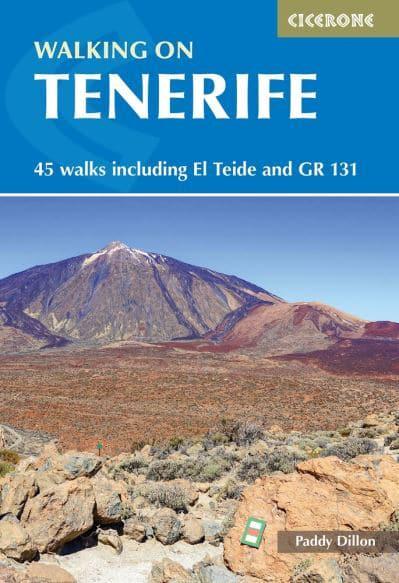
- Walking on Tenerife
- 45 walks including El Teide and GR 131 Read more
- Also available from:
- De Zwerver, Netherlands
Netherlands
2023
- Wandelgids Walking on Tenerife | Cicerone
- 45 walks including El Teide and GR 131 Read more

United Kingdom
2020
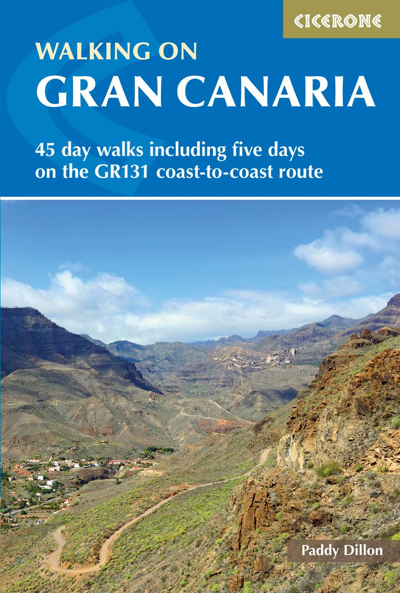
- Walking on Gran Canaria: 45 day walks including five days on the GR131 coast-to-coast route
- The guidebook describes 45 day walks across eight areas of Gran Canaria, including Las Palmas in the north to Playa del Ingles in the south. Also included is a five-day coast-to-coast route on the GR131, an island-hopping long-distance trail stretching across all seven of the Canary Islands. There are walks suitable for those of all abilities,... Read more
- Also available from:
- The Book Depository, United Kingdom
- De Zwerver, Netherlands

United Kingdom
2020
- Walking on Gran Canaria
- 45 day walks including five days on the GR131 coast-to-coast route Read more
Netherlands
2020
- Wandelgids Walking on Gran Canaria | Cicerone
- Guidebook describing 45 day walks on Gran Canaria, generally averaging 10 to 12km each. A long-distance coast-to-coast route on the GR131 is included, and shorter walks can be linked to form longer itineraries. One of the larger Canary Islands, Gran Canaria is a popular destination but offers many peaceful, rural areas perfect for walking. Read more

United Kingdom
2020
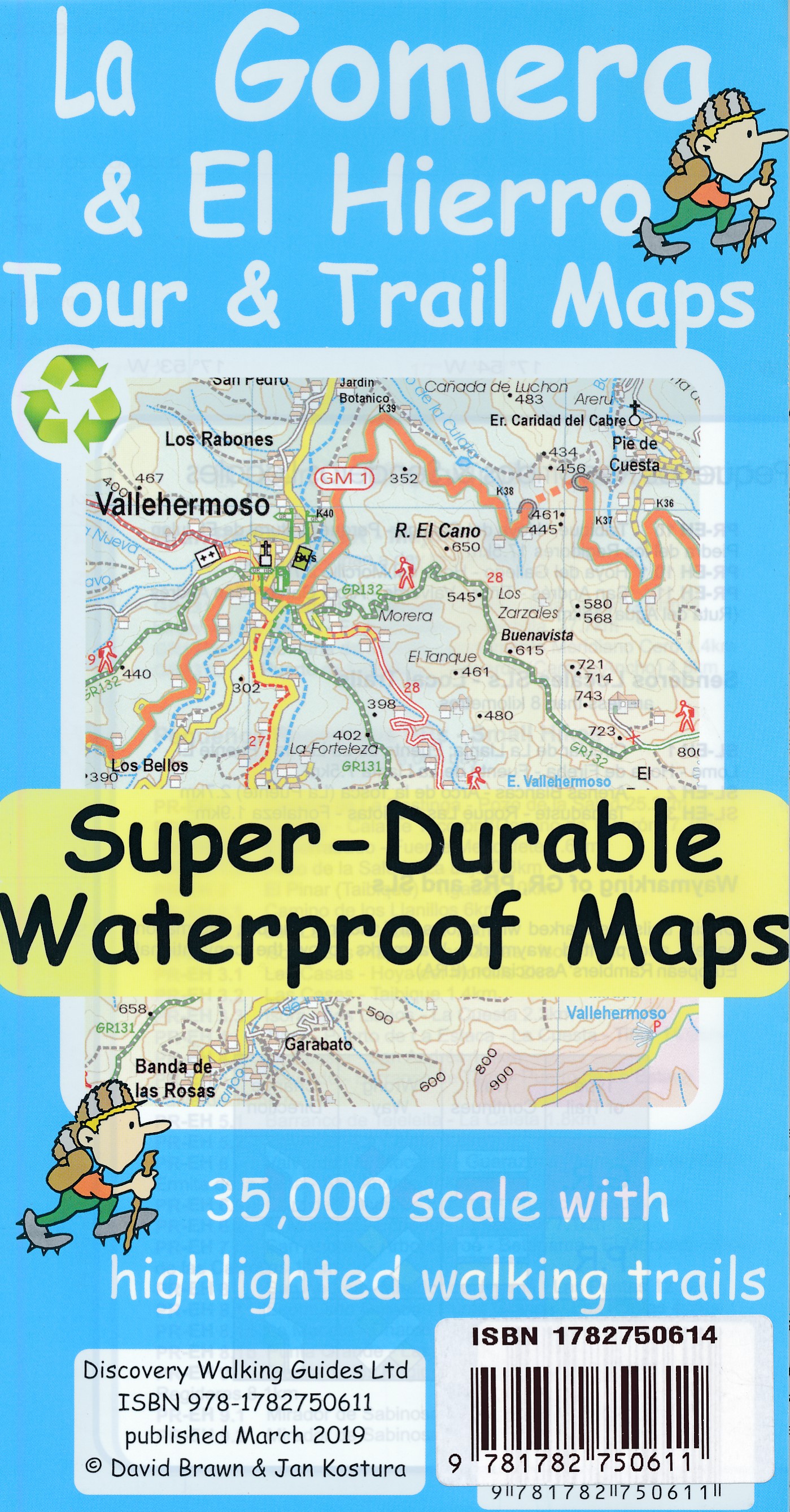
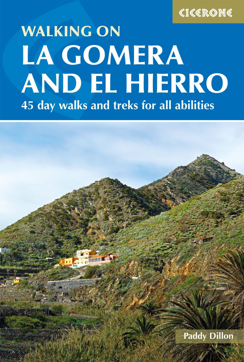
- Walking on La Gomera and El Hierro: 45 day walks and treks for all abilities
- Walking guide to the islands of La Gomera and El Hierro. The 45 waymarked routes in this guidebook include easy strolls and hands-on scrambles, day walks and long-distance routes including the GR132 and parts of the GR131, which runs the whole length of the Canary Islands. Walks are spread in the guide roughly clockwise and where walks are... Read more
- Also available from:
- The Book Depository, United Kingdom
- De Zwerver, Netherlands

United Kingdom
2020
- Walking on La Gomera and El Hierro
- 45 day walks and treks for all abilities Read more

United Kingdom
2014
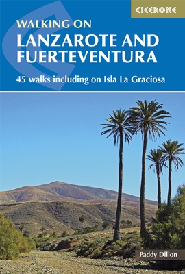
- Lanzarote and Fuerteventura - 45 Walks Including Isla La Graciosa
- Accomplished and renowned walker Paddy Dillon’s Cicerone guide to Walking in Lanzarote and Fuerteventura is the complete guide to walking one of Europe’s most popular island destinations. The seven Canary Islands seem to bask in everlasting sunshine and have been referred to as the Fortune Islands. Away from the bustling resort, walkers can... Read more
- Also available from:
- The Book Depository, United Kingdom
- Bol.com, Netherlands
- Bol.com, Belgium
- De Zwerver, Netherlands

United Kingdom
2014
- Walking on Lanzarote and Fuerteventura
- Including sections of the GR131 long-distance trail Read more

Netherlands
2014
- Walking on Lanzarote and Fuerteventura
- This book describes 21 walks on Lanzarote, 2 on Isla La Graciosa (off Lanzarote's northern coast) and 22 on Fuerteventura, including 14 walks on the GR 131 trail, which crosses both islands including Isla de Lobos at the tip of Fuerteventura. These traditional routes span a range of arid, agricultural and natural areas. Walks feature hill and... Read more
Belgium
2014
- Walking on Lanzarote and Fuerteventura
- This book describes 21 walks on Lanzarote, 2 on Isla La Graciosa (off Lanzarote's northern coast) and 22 on Fuerteventura, including 14 walks on the GR 131 trail, which crosses both islands including Isla de Lobos at the tip of Fuerteventura. These traditional routes span a range of arid, agricultural and natural areas. Walks feature hill and... Read more
Netherlands
2014
- Wandelgids Walking on Lanzarote and Fuerteventura | Cicerone
- One of Paddy Dillon's five-volume series to the Canaries, this book offers 45 walks on Lanzarote and Fuerteventura, including 14 walks on the long-distance GR 131 trail, which crosses both islands. Lanzarote has a fascinating volcanic national park; Fuerteventura has famous golden beaches. Both islands are crossed by new trails. Read more
Netherlands
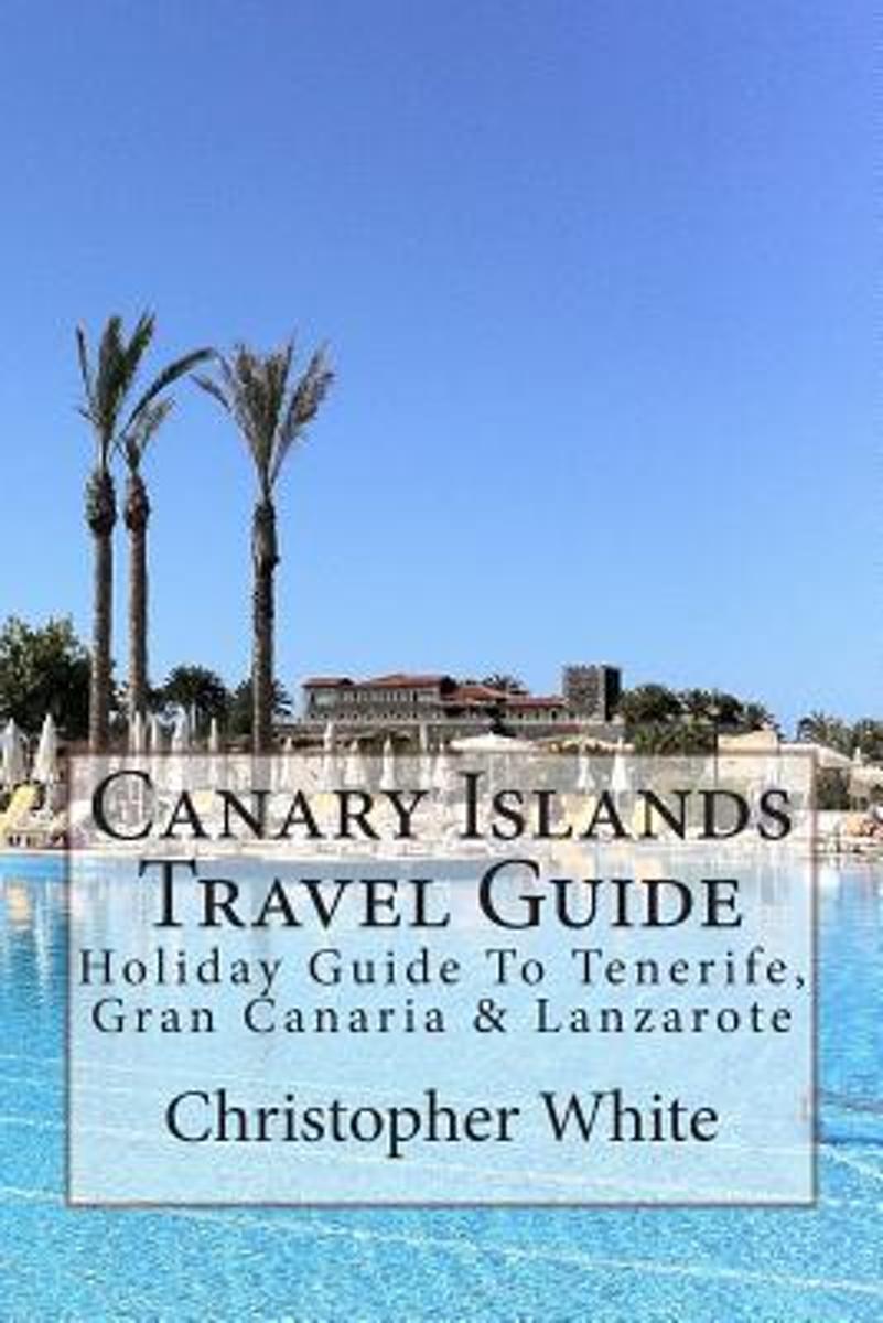
- Canary Islands Travel Guide
- The Canary Islands (Spanish: Islas Canarias) are an Atlantic territory of Spain on the west coast of Africa, near to Morocco, Cape Verde and the archipelagos of the Azores Islands and Madeira Islands.Gran Canaria The largest island by population, its capital city (Las Palmas de Gran Canaria) has the shared title of capital of the Canaries.... Read more
- Also available from:
- Bol.com, Belgium
Belgium
- Canary Islands Travel Guide
- The Canary Islands (Spanish: Islas Canarias) are an Atlantic territory of Spain on the west coast of Africa, near to Morocco, Cape Verde and the archipelagos of the Azores Islands and Madeira Islands.Gran Canaria The largest island by population, its capital city (Las Palmas de Gran Canaria) has the shared title of capital of the Canaries.... Read more

United Kingdom
2020
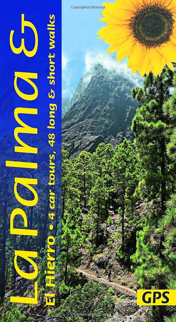
- La Palma and El Hierro Sunflower Landscape Guide
- The go-to La Palma and El Hierro travel guide for discovering the best walks and car tours. Strap on your boots and discover La Palma and El Hierro on foot with the Sunflower La Palma and El Hierro travel guide. And on the days when your feet may have had enough, enjoy some spectacular scenery on one of our legendary car tours. The Sunflower La... Read more
- Also available from:
- De Zwerver, Netherlands
Maps

United Kingdom
- Gran Canaria
- Gran Canaria, Las Palmas and the island’s main resorts on a clear and informative, waterproof and tear-resistant map from Berndtson, with both the road map and the street plans indexed and highlighting the island’s 15 top rated sites and other places of interest, as well as providing general tourist information. On one side a map at 1:100,000... Read more

Netherlands
2015
- Wegenkaart - landkaart Spanje | Borch
- Espana (Spanien) 1 : 1 875 000 ab 9.9 EURO Espana del Oeste, Espana del Este, Islas Canarias Borch Map. 9. Auflage Read more

United Kingdom
- Lanzarote Kompass 241
- Lanzarote at 1:50,000 on a contoured and GPS compatible map from Kompass, with extensive tourist overprint, plus street plans of Arrecife, Puerto del Carmen and Teguise. Coverage includes the nearby islands of Graciosa, Montaña Clara and Alwegranza.Topography is vividly presented by contours at 50m intervals, enhanced by relief shading plus... Read more
- Also available from:
- De Zwerver, Netherlands

Netherlands
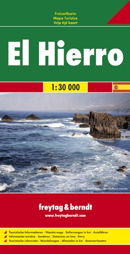
- Wandelkaart - Wegenkaart - landkaart El Hierro | Freytag & Berndt
- Freytag & Berndt kaarten op schaal 1:50.000 (of kleiner) zijn zeer overzichtelijk, wandelpaden werden erop ingekleurd, ze bevatten voldoende details om een wandeltocht in te schatten. Overigens vinden wij dat de Freytag & Berndt kaarten van de Spaanse en Portugese eilanden iets meer gericht zjin op algemeen toerisme en iets minder op wandelen;... Read more

United Kingdom
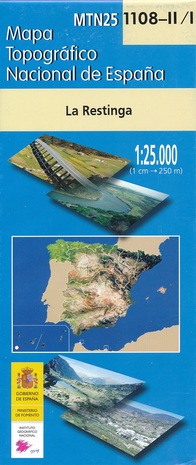
- La Restinga 25K Hierro CNIG Topographic Survey Map No. 1108-I/II
- Topographic coverage of the Canary Islands at 1:25,000 published by the Instituto Geográfico Nacional – Centro Nacional de Información Geografica, the country’s civilian survey organization. The maps have contours at 10m intervals and colouring and/or graphics to show different types of vegetation or land use. Boundaries of national parks and... Read more
- Also available from:
- De Zwerver, Netherlands
Netherlands
- Wandelkaart - Topografische kaart 1108-II/I La Restinga (El Hierro) | CNIG - Instituto Geográfico Nacional
- Topographic coverage of the Canary Islands at 1:25,000 published by the Instituto Geogr Read more

United Kingdom
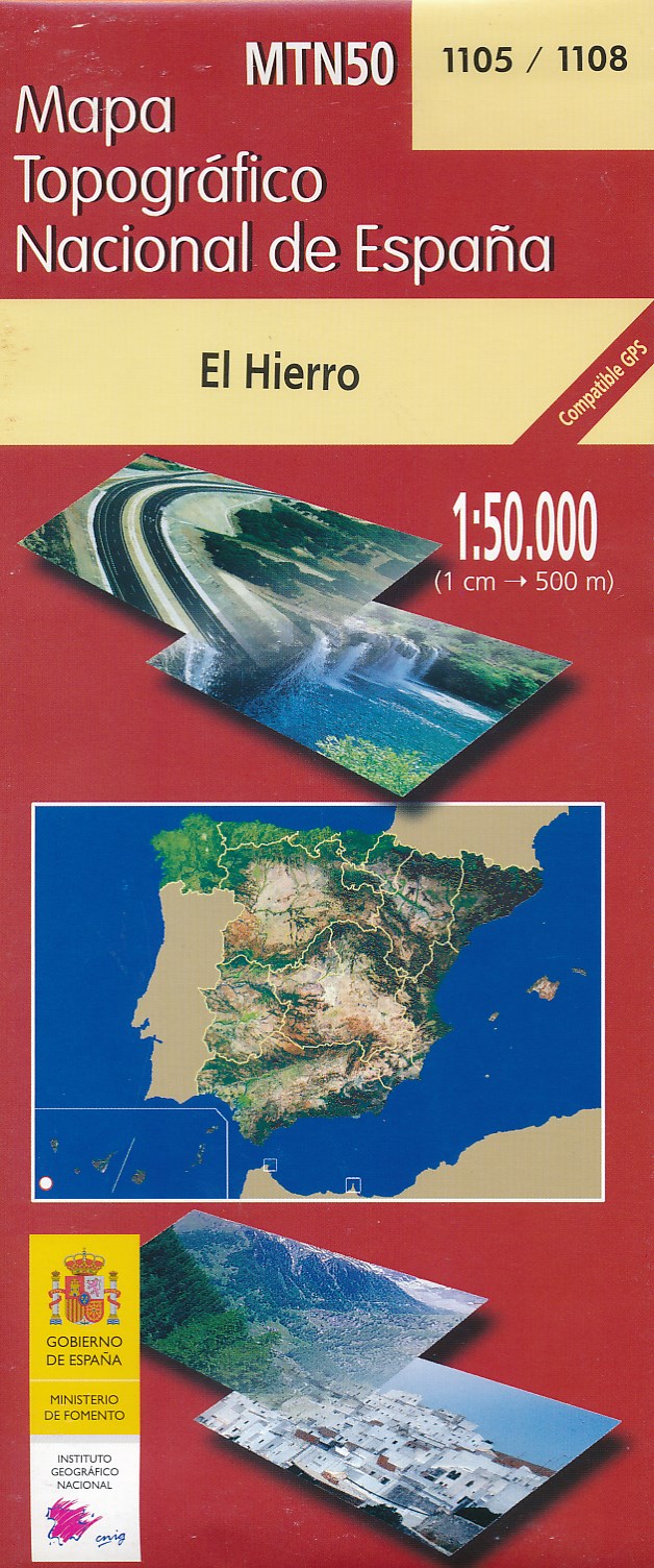
- Hierro CNIG Topo 1105-1108
- Hierro, map No. 1105/1108 in the topographic coverage of the Canary Islands at 1:50,000 from the Instituto Geográfico Nacional - Centro Nacional de Información Geograficá, Spain’s civilian survey organization. Maps in the MTN50 (Mapa Topográfico Nacional) series begun in late 1990s have contours at 20m intervals enhanced by relief shading, plus... Read more
- Also available from:
- De Zwerver, Netherlands
Netherlands
- Wandelkaart - Topografische kaart 1105/1108 El Hierro - Ferro | CNIG - Instituto Geográfico Nacional
- Hierro, map No. 1105/1108 in the topographic coverage of the Canary Islands at 1:50,000 from the Instituto Geogr Read more

Netherlands
- Lanzarote WK241
- Toeristische kaart voor wandelen, fietsen en vrije tijd met activiteitengids en stadsplattegronden • goed leesbare schaal van 1:50 000 • te gebruiken met GPS • met praktische informatie over de regio • wandel- en fietspaden • aanbevolen routes • kastelen • uitzichtpunten • stranden en baaien • toeristische informatie • veel topografische... Read more
- Also available from:
- Bol.com, Belgium
Belgium
- Lanzarote WK241
- Toeristische kaart voor wandelen, fietsen en vrije tijd met activiteitengids en stadsplattegronden • goed leesbare schaal van 1:50 000 • te gebruiken met GPS • met praktische informatie over de regio • wandel- en fietspaden • aanbevolen routes • kastelen • uitzichtpunten • stranden en baaien • toeristische informatie • veel topografische... Read more

Netherlands
- Kanaren/DVD-ROM
- Deze digitale wandel-, fiets- en skiroute kaarten van Kompass op CD of DVD zijn bruikbaar met GPS • je kunt inzoomen op de kaart tot een schaal van 1: 10 000 • prima manier om je eigen route te plannen, met hoogteprofielen • zeer eenvoudig om de gekozen route te printen of te downloaden op mobiele telefoon of PDA • vlieg vogelvlucht over een... Read more
- Also available from:
- Bol.com, Belgium
Belgium
- Kanaren/DVD-ROM
- Deze digitale wandel-, fiets- en skiroute kaarten van Kompass op CD of DVD zijn bruikbaar met GPS • je kunt inzoomen op de kaart tot een schaal van 1: 10 000 • prima manier om je eigen route te plannen, met hoogteprofielen • zeer eenvoudig om de gekozen route te printen of te downloaden op mobiele telefoon of PDA • vlieg vogelvlucht over een... Read more

Netherlands
- Tenerife Hikers Maps
- Our latest hiking research on Tenerife has resulted in new editions of Walk! Tenerife and Tenerife Hikers' Super-Durable Maps being published in 2017. Thanks to Jan Kostura's 2016 research we have several new hiking adventures described in detail in Walk! Tenerife. Jan's gps records of his research for new routes and updating of current routes... Read more
- Also available from:
- Bol.com, Belgium
Belgium
- Tenerife Hikers Maps
- Our latest hiking research on Tenerife has resulted in new editions of Walk! Tenerife and Tenerife Hikers' Super-Durable Maps being published in 2017. Thanks to Jan Kostura's 2016 research we have several new hiking adventures described in detail in Walk! Tenerife. Jan's gps records of his research for new routes and updating of current routes... Read more