
Bayern
Description
Trails in this state
- AlemannenwegGPX
- Alpen Weitwanderweg
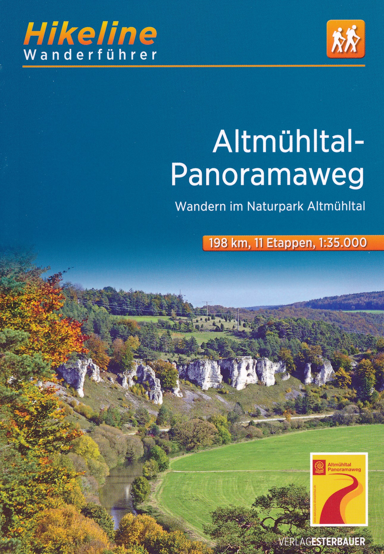
- Altmühltal PanoramawegGPX
- Badener Weg
- BöhmwegGPX
- Bodensee RundwegGPX
- BurgenwegGPX
- Burgundenweg
- DonausteigGPX
- E6GPX
- E8GPX
- ErzwegGPX
- EselswegGPX
- Europäische Wasserscheideweg
- FrankenwegGPX
- Frankenweg (Schwäbischer Albverein)GPX
- Frankenweg Odenwald
- Fränkischer GebirgswegGPX
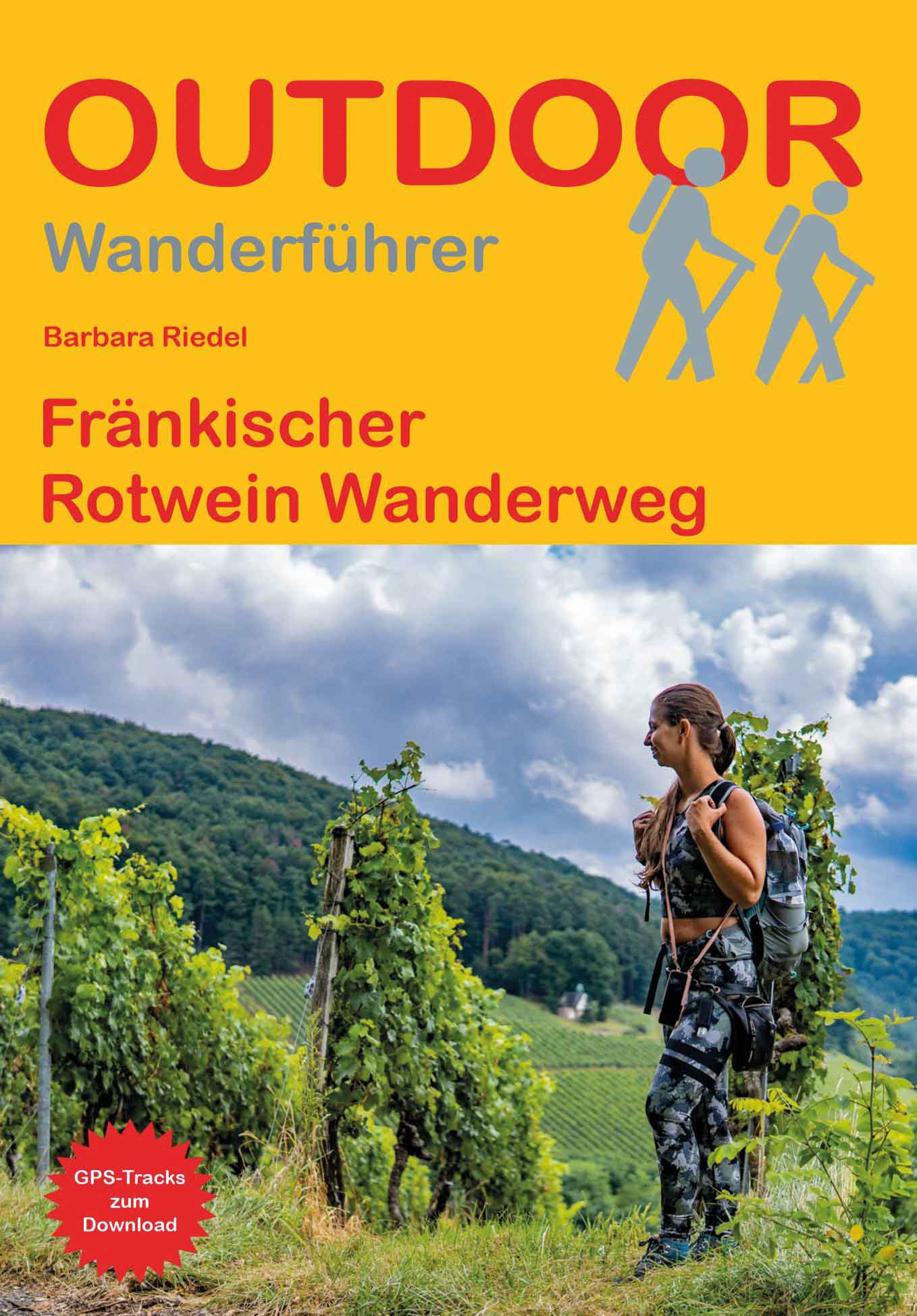
- Fränkischer Rotwein WanderwegGPX
- GlasschleifererwegGPX
- GoethewegGPX
- GoldsteigGPX
- GunthersteigGPX
- Höhenweg Fichtelgebirge
- Höhenweg Steinwaldweg
- Heilbronner HöhenwegGPX
- Hessenweg 3GPX
- Hessenweg 5GPX
- Hessenweg 9GPX
- HochrhönerGPX
- HohenzollernwegGPX
- JurasteigGPX
- König LudwigwegGPX
- Kelten ErlebniswegGPX
- KunigundenwegGPX
- Lech Höhenweg
- LechwegGPX
- Main-WerrawegGPX
- Maintal Höhenringweg
- MaximilianswegGPX
- NordwaldkammwegGPX
- NurtschwegGPX
- Oberallgäuer RundwanderwegGPX
- PandurensteigGPX
- PrälatenwegGPX
- Rhön HöhenwegGPX
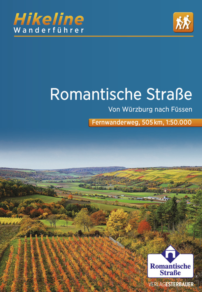
- Romantische StrasseGPX
- Schwäbisch Allgäuer WanderwegGPX
- SpessartwegGPX
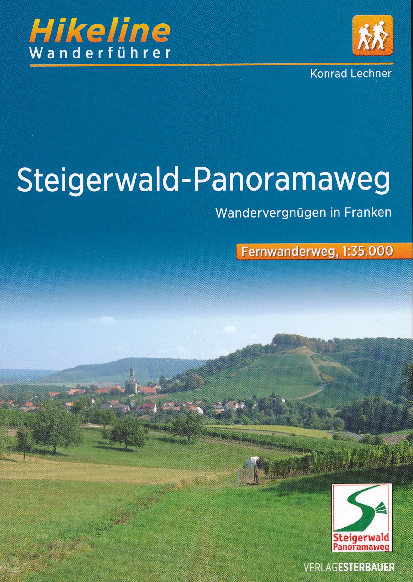
- Steigerwald PanoramawegGPX
- Stromberg-Schwäbischer Waldweg
- Traumpfad München-VenedigGPX
- Via Claudia AugustaGPX
- Westweg FichtelgebirgeGPX
- ZeugenbergrundeGPX
Links
Facts
Reports
Guides and maps
Lodging
Organisations
Tour operators
GPS
Other
Books

Stanfords
United Kingdom
United Kingdom
- Rhön Kompass 2-Map Set 460
- Rhön region of central Germany, straddling the borders between Bavaria, Hesse and Thuringia, in a set of two detailed, contoured and GPS compatible maps at 1:50,000 from Kompass with local and long-distance footpaths, cycling routes, accommodation, etc.KOMPASS HIKING & RECREATIONAL MAPS: this title is part of an extensive series covering... Read more

Stanfords
United Kingdom
United Kingdom
- Istria Kompass 238
- Istria at 1:75,000 on a double-sided, waterproof and tear-resistant, detailed contoured map from Kompass, with hiking and cycling routes, street plans of 10 main towns, plus tourist information. Coverage extends north beyond the Croatian border to include Trieste and the coast of Slovenia. Contours at 50m intervals and spot heights present the... Read more

The Book Depository
United Kingdom
2012
United Kingdom
2012
- Bayrischer Wald Wanderfuhrer Unterwegs zwischen Donau und Bo
- Handzame gids met een goede beschrijving van een groot aantal dagtochten in dit gebied. De gids is in spiraalbinding en elke pagina is op scheur- en watervast papier gedrukt. Daar is echt over nagedacht! Treckencharakteristik Länge, Höhenmeter und Touren Die Tourenauswahl in diesem Buch stellt Ihnen neben den Top-Touren auf die höchsten Berge... Read more
- Also available from:
- De Zwerver, Netherlands
.jpg)
De Zwerver
Netherlands
2012
Netherlands
2012
- Wandelgids Hikeline Bayerischer Wald | Esterbauer
- Handzame gids met een goede beschrijving van een groot aantal dagtochten in dit gebied. De gids is in spiraalbinding en elke pagina is op scheur- en watervast papier gedrukt. Daar is echt over nagedacht! Treckencharakteristik Länge, Höhenmeter und Touren Die Tourenauswahl in diesem Buch stellt Ihnen neben den Top-Touren auf die höchsten Berge... Read more

- Also available from:
- De Zwerver, Netherlands

The Book Depository
United Kingdom
2021
United Kingdom
2021
- Also available from:
- De Zwerver, Netherlands

- Also available from:
- De Zwerver, Netherlands
De Zwerver
Netherlands
2022
Netherlands
2022

Bol.com
Netherlands
Netherlands
- Walking Distance
- Long-distance walking is good for you and good for the earth... But most of all, walking is a joyful celebration of life and the diverse, beautiful, and curious world in which we live. -from the Introduction Walking is simple, but it can also be profound. In an increasingly complex and frantic world, walking can simplify our lives. It... Read more
- Also available from:
- Bol.com, Belgium
Bol.com
Belgium
Belgium
- Walking Distance
- Long-distance walking is good for you and good for the earth... But most of all, walking is a joyful celebration of life and the diverse, beautiful, and curious world in which we live. -from the Introduction Walking is simple, but it can also be profound. In an increasingly complex and frantic world, walking can simplify our lives. It... Read more
De Zwerver
Netherlands
2015
Netherlands
2015
- Wandelgids Nibelungensteig | Conrad Stein Verlag
- OutdoorHandbuch. 1. Auflage. Read more
Bol.com
Netherlands
Netherlands
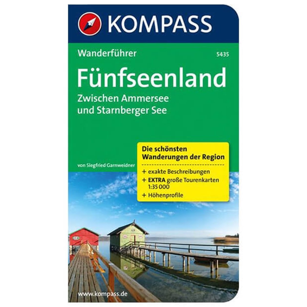
- WF5435 Fünfseenland, Zwischen Ammersee und Starnberger See Kompass
- Die KOMPASS Wanderführer überzeugen durch . nützliche Tourenübersicht zur schnellen Orientierung . übersichtliche und präzise Wegbeschreibungen . XXL Kartenausschnitte für einen großzügigen Überblick . aussagekräftiges Höhenprofil zur einfachen Planung . persönliche Empfehlungen der AutorenDe Kompass wandelgids + kaart geeft een overzicht van... Read more
- Also available from:
- Bol.com, Belgium
Bol.com
Belgium
Belgium
- WF5435 Fünfseenland, Zwischen Ammersee und Starnberger See Kompass
- Die KOMPASS Wanderführer überzeugen durch . nützliche Tourenübersicht zur schnellen Orientierung . übersichtliche und präzise Wegbeschreibungen . XXL Kartenausschnitte für einen großzügigen Überblick . aussagekräftiges Höhenprofil zur einfachen Planung . persönliche Empfehlungen der AutorenDe Kompass wandelgids + kaart geeft een overzicht van... Read more
De Zwerver
Netherlands
2011
Netherlands
2011
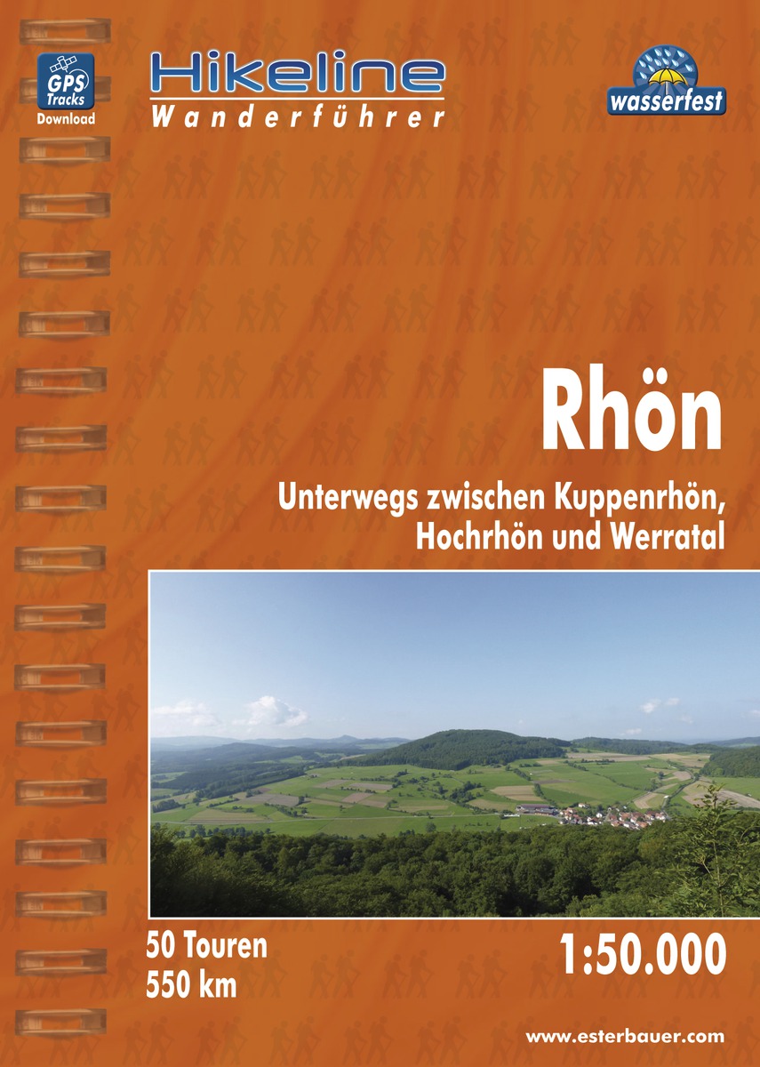
- Wandelgids Hikeline Rhön | Esterbauer
- Handzame gids met een goede beschrijving van een groot aantal dagtochten in dit gebied. De gids is in spiraalbinding en elke pagina is op scheur- en watervast papier gedrukt. Daar is echt over nagedacht! Länge, Höhenmeter Die 50 in diesem Buch beschriebenen Wandertouren sind jeweils zwischen 4 und 20 Kilometer lang, im Durchschnitt sind es... Read more
De Zwerver
Netherlands
2015
Netherlands
2015
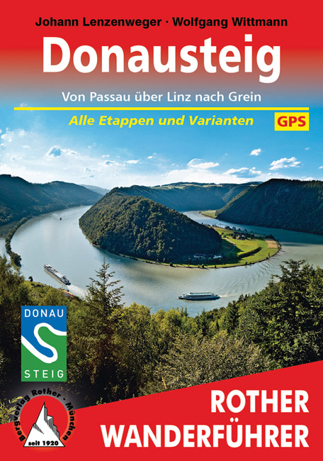
- Wandelgids Donausteig von Passau über Linz nach Grein | Rother Bergverlag
- Goede duidelijke beschrijving van deze meerdaagse wandeling van de Donausteig tussen Passau via Linz naar Grein. Voldoende info, zelfs kaartjes zijn behoorlijk goed en voldoende. Eine der schönsten Flusslandschaften Österreichs ist das Donautal, mit seinem Wechsel zwischen engen Durchbruchstälern und weiten Beckenlandschaften, mit... Read more
De Zwerver
Netherlands
2013
Netherlands
2013
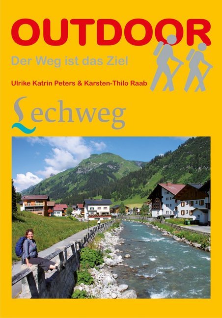
- Wandelgids Lechweg | Conrad Stein Verlag
- Der Weg ist das Ziel. 1. Auflage. Read more
Bol.com
Netherlands
Netherlands
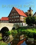
- Bayerische Rhön
- Die Mittelgebirgsregion im Grenzgebiet der Bundesländer Bayern, Hessen und Thüringen lockt insbesondere Naturliebhaber und Wanderer mit ihren einzigartigen Landschaften: Große Waldgebiete wechseln mit dunklen Hochmooren, klare Flüsse und einsame Hochflächen mit mächtigen Erhebungen wie dem Kreuzberg, dem heiligen Berg der Franken. Geschützt... Read more
- Also available from:
- Bol.com, Belgium
Bol.com
Belgium
Belgium
- Bayerische Rhön
- Die Mittelgebirgsregion im Grenzgebiet der Bundesländer Bayern, Hessen und Thüringen lockt insbesondere Naturliebhaber und Wanderer mit ihren einzigartigen Landschaften: Große Waldgebiete wechseln mit dunklen Hochmooren, klare Flüsse und einsame Hochflächen mit mächtigen Erhebungen wie dem Kreuzberg, dem heiligen Berg der Franken. Geschützt... Read more

De Zwerver
Netherlands
2022
Netherlands
2022
- Klimgids - Klettersteiggids Bayern, Vorarlberg, Tirol, Salzburg | Rother Bergverlag
- 92 Klettersteige zwischen Rhein und Salzach Rother Wanderführer. 10., vollständig neu bearbeitete Auflage. Read more
Maps

Stanfords
United Kingdom
United Kingdom
- Eastern Rhodopes / Rodopi Geopsis 131
- Eastern Rhodopes Mountains on the border of north-eastern Greece and Bulgaria on a waterproof and tear-resistant, contoured and GPS compatible map from Geopsis highlighting nine recommended hiking trails and the local section of the E6 cross-Europe long-distance route. All place names are in both Greek and Latin alphabet, with several villages... Read more

Stanfords
United Kingdom
United Kingdom
- Hohe Wand - Schneebergland - Gutenstein Alps - Piestingtal - Lilienfeld F&B WK012
- Hohe Wand - Piestingtal - Triestingtal - Gölsental - Gutensteier Alpen – Lilienfeld area south-west of Vienna presented at 1:50,000 in a series of contoured and GPS compatible outdoor leisure map from Freytag & Berndt with hiking and cycling routes, mountain huts, campsites and youth hostels, local bus stops, plus other tourist information.To... Read more

Stanfords
United Kingdom
United Kingdom
- Western Rhodopes / Rodopi - Falakro Geopsis 133
- Central Rhodopes Mountains on the border of north-eastern Greece and Bulgaria on a waterproof and tear-resistant, contoured and GPS compatible map from Geopsis highlighting nine recommended hiking trails and the local section of the E6 cross-Europe long-distance route. All place names are in both Greek and Latin alphabet, with several villages... Read more

Stanfords
United Kingdom
United Kingdom
- Bohemian Forest - Mühlviertel - Lipno Dam F&B WK262
- Bohemian Forest - Mühlviertel - Moldau/Vltava Reservoir area straddling the border of Austria, Czech Republic and Germany presented at 1:50,000 in a series of contoured and GPS compatible outdoor leisure map from Freytag & Berndt with hiking and cycling routes, mountain huts, campsites and youth hostels, local bus stops, plus other tourist... Read more

Stanfords
United Kingdom
United Kingdom
- Mostviertel - Strudengau - Donauland - Amstetten - Waidhofen a.d. Ybbs - Steyr F&B WK052
- Mostviertel - Strudengau - Donauland - Amstetten - Waidhofen a.d. Ybbs - Steyr area of eastern Austria presented at 1:50,000 in a series of contoured and GPS compatible outdoor leisure map from Freytag & Berndt with hiking and cycling routes, mountain huts, campsites and youth hostels, local bus stops, plus other tourist information.To see the... Read more

Stanfords
United Kingdom
United Kingdom
- Zell am See - Kaprun - Saalbach F&B WK382
- Zell-am-See - Kaprun - Saalbach area of the Austrian Alps presented at 1:50,000 in a series of contoured and GPS compatible outdoor leisure map from Freytag & Berndt with hiking and cycling routes, mountain huts, campsites and youth hostels, local bus stops, plus other tourist information. To see the list of currently available titles in this... Read more

Stanfords
United Kingdom
United Kingdom
- Thermenregion Innviertel - Imber Moor - Kobernausserwald - Braunau - Burghausen - Marktl F&B WK431
- Thermenregion Innviertel - Imber Moor - Kobernausserwald - Braunau - Burghausen – Marktl area of central Austria presented at 1:50,000 in a series of contoured and GPS compatible outdoor leisure map from Freytag & Berndt with hiking and cycling routes, mountain huts, campsites and youth hostels, local bus stops, plus other tourist information.... Read more

Stanfords
United Kingdom
United Kingdom
- Central Rhodopes / Rodopi Geopsis 132
- Central Rhodopes Mountains on the border of north-eastern Greece and Bulgaria on a waterproof and tear-resistant, contoured and GPS compatible map from Geopsis highlighting nine recommended hiking trails and the local section of the E6 cross-Europe long-distance route. All place names are in both Greek and Latin alphabet, with several villages... Read more

Stanfords
United Kingdom
United Kingdom
- Danube Cycle Trail - Passau - Eferding - Sauwald - Schärding F&B WK432
- Danube Cycle Trail: Passau - Eferding - Sauwald – Schärding area of central Austria presented at 1:50,000 in a series of contoured and GPS compatible outdoor leisure map from Freytag & Berndt with hiking and cycling routes, mountain huts, campsites and youth hostels, local bus stops, plus other tourist information. To see the list of currently... Read more

Stanfords
United Kingdom
United Kingdom
- Augsburg NP - Western Forests UK50-32
- Augsburg map UK50-32, in a series of special contoured and GP-compatible recreational maps from the Bavarian state mapping agency, with cartography at 1:50,000 and additional tourist overprint highlighting hiking trails and cycling routes, campsites and youth hostels, etc.Maps in this series have cartography identical to the standard... Read more

Stanfords
United Kingdom
United Kingdom
- Cham H16
- Cham in a series of GPS compatible recreational editions of the Bavarian topographic survey at 1:25,000, with waymarked hiking trails and cycling routes, campsites and youth hostels, etc. Coverage includes Furth im Wald, Weiding, Arnschwang, Waldmünchen, Chamerau, Pemfling.Contours used in this map vary between 5 to 20m according to the... Read more

Stanfords
United Kingdom
United Kingdom
- The Hochrhon Kompass 462
- Die Hochrhön area of the natural park straddling the border between Bavaria and Hesse on a detailed, GPS compatible map at 1:25,000 from Kompass with local and long-distance footpaths, cycling routes, accommodation, etc, printed on durable, waterproof and tear-resistant synthetic paper.KOMPASS HIKING & RECREATIONAL MAPS: this title is part of... Read more

Stanfords
United Kingdom
United Kingdom
- Werdenfelser Land - Ammergau Alps - Füssen - Garmisch-Partenkirchen UK50-50
- Werdenfelser Land – Ammergebirge, map no. 50-50 covering and area including Garmisch-Partenkirchen, Füssen with the Neuschweinstein castle, Froggensee, Murnau, Reutte, Ehrwald and the peak of Zugspitze, in a series of special contoured and GP-compatible recreational maps from the Bavarian state survey organization, with cartography of the... Read more

Stanfords
United Kingdom
United Kingdom
- Pleystein F15
- Pleystein in a series of GPS compatible recreational editions of the Bavarian topographic survey at 1:25,000, with waymarked hiking trails and cycling routes, campsites and youth hostels, etc. Coverage includes Vohenstrauß, Eslarn, Waidhaus, Moosbach, Georgenberg.Contours used in this map vary between 5 to 20m according to the terrain, with 20m... Read more

Stanfords
United Kingdom
United Kingdom
- Moosburg a.d. Isar M13
- Moosburg a.d.Isar in a series of GPS compatible recreational editions of the Bavarian topographic survey at 1:25,000, with waymarked hiking trails and cycling routes, campsites and youth hostels, etc. Coverage includes Wartenberg, Langenpreising, Taufkirchen (Vils), Berglern, Fraunberg, Buch a.Erlbach.Contours used in this map vary between 5 to... Read more